| Memorials | : | 0 |
| Location | : | Ashville, St. Clair County, USA |
| Coordinate | : | 33.8797140, -86.2928910 |
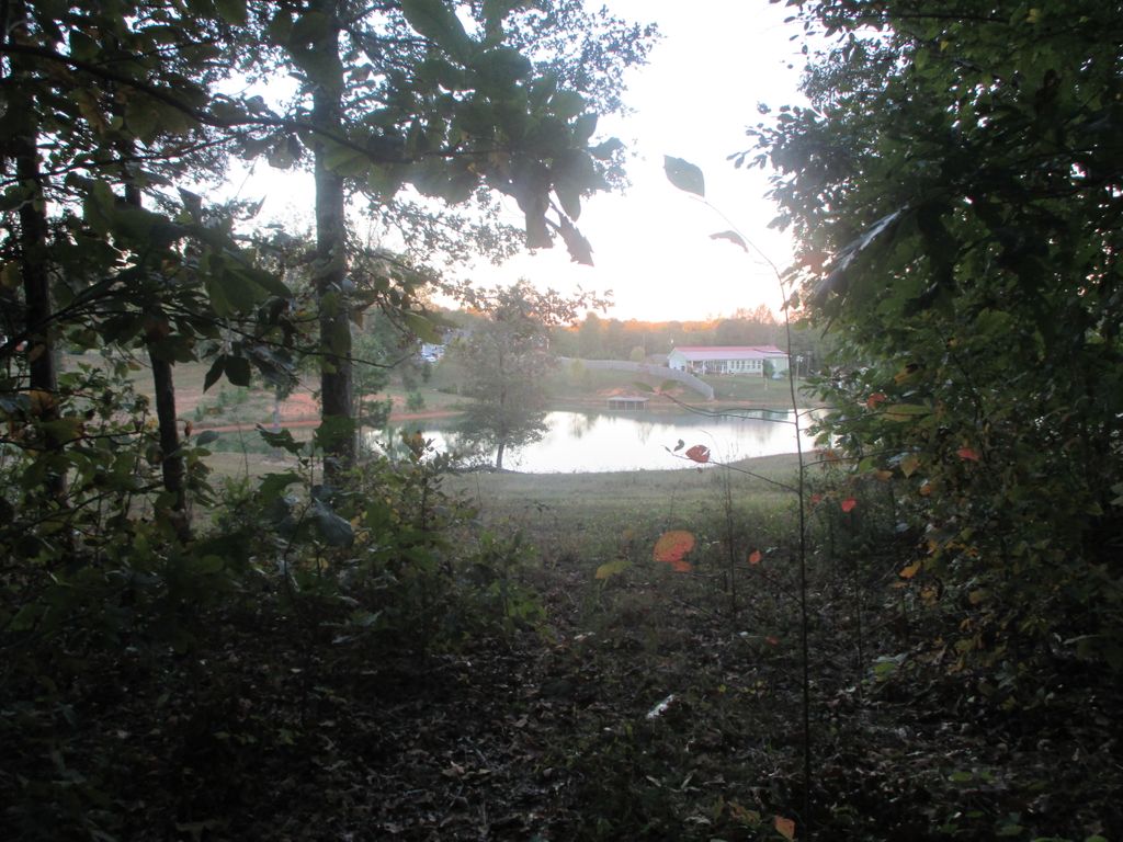
| Description | : | This Cemetery is Located on Highway 11 about 1/2 mile north of Whitney Junction. It is on a hill off a dirt road. This cemetery is an old predominately Black Cemetery. Before the Civil War both the Mostella's and the Byer's owned slaves and this is where the names listed here come from. I wish to thank James Sitz who helped me locate the Cemetery and document it. Without his help I could not have done this. THERE ARE MORE GRAVES THAT DO NOT HAVE NAMES IF ANYONE KNOWS ANY INFORMATION I WILL BE GLAD TO ADD THE PICTURES I... Read More |
frequently asked questions (FAQ):
-
Where is Whitney Cemetery?
Whitney Cemetery is located at Ashville, St. Clair County ,Alabama ,USA.
-
Whitney Cemetery cemetery's updated grave count on graveviews.com?
0 memorials
-
Where are the coordinates of the Whitney Cemetery?
Latitude: 33.8797140
Longitude: -86.2928910
Nearby Cemetories:
1. Reeves Grove Cemetery
Steele, St. Clair County, USA
Coordinate: 33.8708000, -86.3078000
2. Beason-Union Cemetery
St. Clair County, USA
Coordinate: 33.8913920, -86.3051610
3. Choate Cemetery
St. Clair County, USA
Coordinate: 33.8877983, -86.2763977
4. Early Chapel
Whitney, St. Clair County, USA
Coordinate: 33.8684200, -86.3239570
5. Victory United Baptist Cemetery
Whitney, St. Clair County, USA
Coordinate: 33.8923810, -86.2616980
6. Bethel Baptist Church Cemetery
Steele, St. Clair County, USA
Coordinate: 33.9073940, -86.2699480
7. Ashville Cemetery
Ashville, St. Clair County, USA
Coordinate: 33.8335075, -86.2589111
8. Deerman's Chapel Methodist Church Cemetery New
Steele, St. Clair County, USA
Coordinate: 33.9145400, -86.2322000
9. Deerman's Chapel Methodist Church Cemetery Old
Steele, St. Clair County, USA
Coordinate: 33.9131012, -86.2300034
10. Union Hill Church of the Nazarene Cemetery
Straight Mountain, Blount County, USA
Coordinate: 33.9152960, -86.3541860
11. Mauldin Cemetery
Etowah County, USA
Coordinate: 33.9366989, -86.3317032
12. Mauldin Cemetery
Oneonta, Blount County, USA
Coordinate: 33.9366989, -86.3318024
13. Chandler Mountain Baptist Church Cemetery
Chandler Mountain, St. Clair County, USA
Coordinate: 33.9426380, -86.2541010
14. Moore Cemetery
St. Clair County, USA
Coordinate: 33.8046989, -86.3078003
15. Straight Mountain Memory Gardens
Oneonta, Blount County, USA
Coordinate: 33.8735008, -86.3942032
16. Mount Lebanon Congregational Church Cemetery
Chandler Mountain, St. Clair County, USA
Coordinate: 33.9551400, -86.2447200
17. Bray's Chapel Cemetery
Ashville, St. Clair County, USA
Coordinate: 33.7950800, -86.2733500
18. Straight Mountain Mennonite Church Cemetery
St. Clair County, USA
Coordinate: 33.8479740, -86.3921190
19. Steele Cemetery
Steele, St. Clair County, USA
Coordinate: 33.9356780, -86.2084130
20. Pleasant Hill United Methodist Church Cemetery
Springville, St. Clair County, USA
Coordinate: 33.8202900, -86.3780600
21. Cool Springs Missionary Baptist Church Cemetery
Ashville, St. Clair County, USA
Coordinate: 33.7920990, -86.3291020
22. Fosters Chapel Cemetery
Straight Mountain, Blount County, USA
Coordinate: 33.8884964, -86.4051132
23. Wilson Cemetery
Ashville, St. Clair County, USA
Coordinate: 33.8512300, -86.1838000
24. Clements Family Cemetery #2
Straight Mountain, Blount County, USA
Coordinate: 33.8888092, -86.4074402

