
| Memorials | : | 0 |
| Location | : | Willemsoord, Steenwijkerland Municipality, Netherlands |
| Coordinate | : | 52.8266800, 6.0706300 |
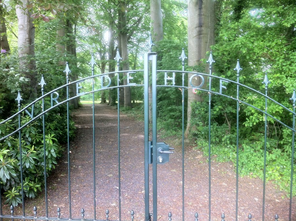
| Description | : | Willemsoord is situated 5 kilometres north-north-west of Steenwijk on the main road to Leeuwarden. The cemetery lies 200 metres east of the church which stands in the centre of the village. |
frequently asked questions (FAQ):
-
Where is Willemsoord General Cemetery?
Willemsoord General Cemetery is located at Willemsoord, Steenwijkerland Municipality ,Overijssel ,Netherlands.
-
Willemsoord General Cemetery cemetery's updated grave count on graveviews.com?
0 memorials
-
Where are the coordinates of the Willemsoord General Cemetery?
Latitude: 52.8266800
Longitude: 6.0706300
Nearby Cemetories:
1. Algemene Begraafplaats
Paasloo, Steenwijkerland Municipality, Netherlands
Coordinate: 52.8133500, 6.0135300
2. Joodse Begraafplaats
Steenwijk, Steenwijkerland Municipality, Netherlands
Coordinate: 52.7911800, 6.1213900
3. Steenwijk General Cemetery
Steenwijk, Steenwijkerland Municipality, Netherlands
Coordinate: 52.7863900, 6.1284800
4. Wolvega General Cemetery
Wolvega, Weststellingwerf Municipality, Netherlands
Coordinate: 52.8715200, 6.0103480
5. Algemene Begraafplaats De Nieuwe Landen
Kallenkote, Steenwijkerland Municipality, Netherlands
Coordinate: 52.7867100, 6.1512500
6. Kallenkote Old General Cemetery
Kallenkote, Steenwijkerland Municipality, Netherlands
Coordinate: 52.7862800, 6.1530100
7. Giethoorn Kerkhof
Giethoorn, Steenwijkerland Municipality, Netherlands
Coordinate: 52.7397600, 6.0764900
8. Oldetrijne Cemetery
Oldetrijne, Weststellingwerf Municipality, Netherlands
Coordinate: 52.8566500, 5.9318600
9. Nijeveen Old Protestant Churchyard
Nijeveen, Meppel Municipality, Netherlands
Coordinate: 52.7324800, 6.1639500
10. Begraafplaats Havelte
Havelte, Westerveld Municipality, Netherlands
Coordinate: 52.7741442, 6.2472284
11. Blokzijl General Cemetery
Blokzijl, Steenwijkerland Municipality, Netherlands
Coordinate: 52.7253900, 5.9624600
12. Joodse Begraafplaats
Blokzijl, Steenwijkerland Municipality, Netherlands
Coordinate: 52.7253110, 5.9623440
13. Nieuwehorne Protestant Cemetery
Nieuwehorne, Heerenveen Municipality, Netherlands
Coordinate: 52.9511000, 6.0581900
14. Israëlitische Begraafplaats
Meppel, Meppel Municipality, Netherlands
Coordinate: 52.7134680, 6.1898920
15. Joodse Begraafplaats
Oranjewoud, Heerenveen Municipality, Netherlands
Coordinate: 52.9441810, 5.9499060
16. Kuinre General Cemetery
Kuinre, Steenwijkerland Municipality, Netherlands
Coordinate: 52.7954100, 5.8393400
17. Begraafplaats Binnenweg
Heerenveen, Heerenveen Municipality, Netherlands
Coordinate: 52.9505875, 5.9395154
18. Algemene begraafplaats
Luttelgeest, Noordoostpolder Municipality, Netherlands
Coordinate: 52.7479507, 5.8546040
19. De Knijpe Kerkhof
De Knijpe, Heerenveen Municipality, Netherlands
Coordinate: 52.9678100, 5.9676500
20. Begraafplaats van
Rottum, De Fryske Marren Municipality, Netherlands
Coordinate: 52.9368667, 5.8917667
21. Diever General Cemetery
Diever, Westerveld Municipality, Netherlands
Coordinate: 52.8569800, 6.3216100
22. Joodse Begraafplaats
Gorredijk, Opsterland Municipality, Netherlands
Coordinate: 52.9824690, 6.0679550
23. Ruinerwold General Cemetery
Ruinerwold, De Wolden Municipality, Netherlands
Coordinate: 52.7133700, 6.2489200
24. Kortezwaag Cemetery
Kortezwaag, Opsterland Municipality, Netherlands
Coordinate: 52.9905200, 6.0647900