
| Memorials | : | 1 |
| Location | : | Bay, Craighead County, USA |
| Coordinate | : | 35.7139170, -90.4766110 |
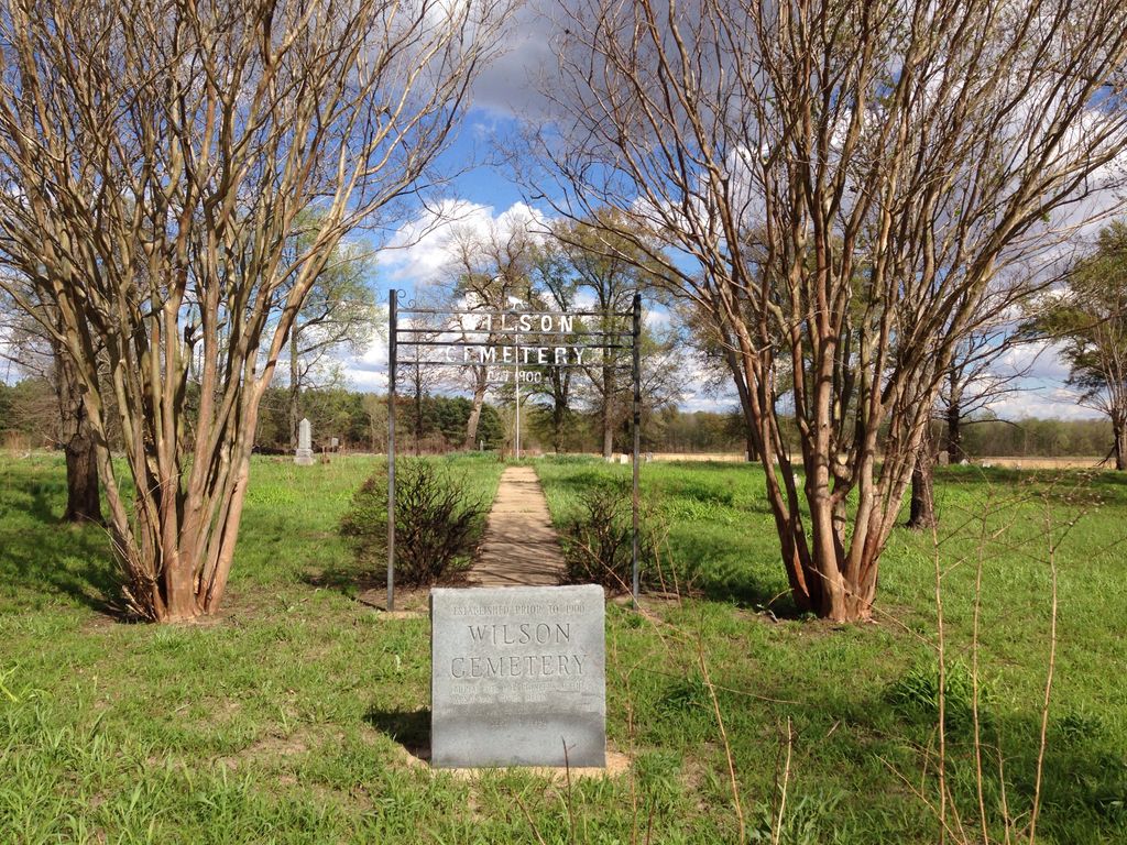
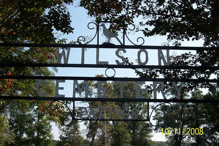
| Description | : | DIRECTIONS. Wilson Cemetery is located five miles northeast of Trumann. At the intersection of Hwys. 463 and 69, turn east on Hwy. 69N. Follow this hwy. out of Trumann for 4.5 miles until you come to CR828. Turn right (gravel) and follow it east one-half mile to a wooded area. The cemetery is on a high sandy ridge of the St. Francis River in the sunken lands and is about one-half mile from the St. Francis River outside of Trumann toward Lunsford. |
frequently asked questions (FAQ):
-
Where is Wilson Cemetery?
Wilson Cemetery is located at Craighead County road 828 Bay, Craighead County ,Arkansas ,USA.
-
Wilson Cemetery cemetery's updated grave count on graveviews.com?
1 memorials
-
Where are the coordinates of the Wilson Cemetery?
Latitude: 35.7139170
Longitude: -90.4766110


Nearby Cemetories:
1. Prairie Cemetery
Lunsford, Craighead County, USA
Coordinate: 35.7566390, -90.4528330
2. Davis Spur Cemetery
Bay, Craighead County, USA
Coordinate: 35.7340460, -90.5517550
3. Tulot Cemetery
Poinsett County, USA
Coordinate: 35.6199989, -90.4831009
4. Lake City Memorial Cemetery
Lake City, Craighead County, USA
Coordinate: 35.8097353, -90.4299793
5. Lake City Cemetery
Lake City, Craighead County, USA
Coordinate: 35.8133011, -90.4282990
6. Mangrum Cemetery
Mangrum, Craighead County, USA
Coordinate: 35.7900009, -90.3760986
7. Bowman Cemetery
Bowman, Craighead County, USA
Coordinate: 35.8270170, -90.4877190
8. Judd Hill Cemetery
Judd Hill, Poinsett County, USA
Coordinate: 35.5972960, -90.5195550
9. Caraway Cemetery
Caraway, Craighead County, USA
Coordinate: 35.7667007, -90.3407974
10. Ridge View Mennonite Church Cemetery
Jonesboro, Craighead County, USA
Coordinate: 35.8101780, -90.5901150
11. Lower Cane Island Cemetery
Lake City, Craighead County, USA
Coordinate: 35.8457985, -90.4308014
12. Potter Memorial Cemetery
Lepanto, Poinsett County, USA
Coordinate: 35.6166992, -90.3458023
13. Nichols Cemetery
Marked Tree, Poinsett County, USA
Coordinate: 35.5922000, -90.3767000
14. White Cemetery
Craighead County, USA
Coordinate: 35.7127991, -90.6613998
15. Black Oak Cemetery
Black Oak, Craighead County, USA
Coordinate: 35.8377570, -90.3690290
16. First Missionary Baptist Church Cemetery
Lepanto, Poinsett County, USA
Coordinate: 35.6061870, -90.3356890
17. Pine Rest Cemetery
Lepanto, Poinsett County, USA
Coordinate: 35.6035995, -90.3364029
18. Upper Cane Island Cemetery
Craighead County, USA
Coordinate: 35.8706017, -90.4222031
19. Mount Pisgah Cemetery
Jonesboro, Craighead County, USA
Coordinate: 35.7209580, -90.6770990
20. Greenwood Cemetery
Lepanto, Poinsett County, USA
Coordinate: 35.6039009, -90.3268967
21. Willis Cemetery
Greenfield, Poinsett County, USA
Coordinate: 35.6622200, -90.6705560
22. Riverview Cemetery
Marked Tree, Poinsett County, USA
Coordinate: 35.5533330, -90.4028590
23. Houston Cemetery
Poinsett County, USA
Coordinate: 35.6685982, -90.6832962
24. Hawkins Cemetery
Mississippi County, USA
Coordinate: 35.6460991, -90.2755966