
| Memorials | : | 1 |
| Location | : | Sugarcreek, Tuscarawas County, USA |
| Coordinate | : | 40.5279740, -81.6518240 |
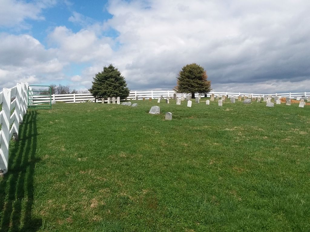
| Description | : | The cemetery is located about 1300 feet west of Mill Street NW (Ohio State Route 93) about 0.3 miles south of its intersection with County Road 75. The cemetery is located in Sugar Creek Township, Tuscarawas County, Ohio, and is # 11855 (Coblentz Cemetery / Yoder Cemetery) in “Ohio Cemeteries 1803-2003”, compiled by the Ohio Genealogical Society. The U.S. Geological Survey (USGS) Geographic Names Information System (GNIS) feature ID for the cemetery is 1048198 (Yoder Cemetery). The cemetery is identified as M-3 (Noah Coblentz Farm Cemetery) in “Cemetery Directory of the Amish Community in Eastern Holmes and Adjoining... Read More |
frequently asked questions (FAQ):
-
Where is Yoder Cemetery?
Yoder Cemetery is located at Mill Street NW (Ohio State Route 93) Sugarcreek, Tuscarawas County ,Ohio , 44681USA.
-
Yoder Cemetery cemetery's updated grave count on graveviews.com?
1 memorials
-
Where are the coordinates of the Yoder Cemetery?
Latitude: 40.5279740
Longitude: -81.6518240


Nearby Cemetories:
1. Hardscrabble Cemetery
Tuscarawas County, USA
Coordinate: 40.5388985, -81.6521988
2. Laura Machan Farm Cemetery
Walnut Creek, Holmes County, USA
Coordinate: 40.5280640, -81.6667080
3. Henry Zahner Farm Cemetery
Shanesville, Tuscarawas County, USA
Coordinate: 40.5149000, -81.6559000
4. Shanesville First Reformed Cemetery
Shanesville, Tuscarawas County, USA
Coordinate: 40.5134000, -81.6540100
5. Union Church Cemetery
Sugarcreek, Tuscarawas County, USA
Coordinate: 40.5202240, -81.6321990
6. Schrock Cemetery
Barrs Mills, Tuscarawas County, USA
Coordinate: 40.5404000, -81.6366840
7. East Lawn Cemetery
Sugarcreek, Tuscarawas County, USA
Coordinate: 40.5086770, -81.6536210
8. Miller-Mast Cemetery
Sugar Creek Township, Tuscarawas County, USA
Coordinate: 40.5192030, -81.6263930
9. Walter Cemetery
Sugar Creek Township, Tuscarawas County, USA
Coordinate: 40.5497017, -81.6352997
10. Floyd Miller Farm Cemetery
Walnut Creek, Holmes County, USA
Coordinate: 40.5326300, -81.6873700
11. Nelson D. Yoder Cemetery
Sugarcreek, Tuscarawas County, USA
Coordinate: 40.4997580, -81.6525130
12. Maranatha Fellowship Church Cemetery
Sugarcreek, Tuscarawas County, USA
Coordinate: 40.4965530, -81.6616730
13. Eicher Cemetery
Dundee, Tuscarawas County, USA
Coordinate: 40.5603780, -81.6410330
14. Yoder Cemetery
Walnut Creek, Holmes County, USA
Coordinate: 40.5416985, -81.6939011
15. Smiley Family Cemetery
Sugarcreek, Tuscarawas County, USA
Coordinate: 40.5445000, -81.6100000
16. Miller Cemetery
Winklepleck Grove, Tuscarawas County, USA
Coordinate: 40.5193080, -81.6055850
17. Miller Cemetery
Walnut Creek, Holmes County, USA
Coordinate: 40.5397420, -81.6979810
18. Wayne Yoder Farm Cemetery
Walnut Creek, Holmes County, USA
Coordinate: 40.5496070, -81.6929440
19. Union Hill Cemetery
Sugarcreek, Tuscarawas County, USA
Coordinate: 40.5047410, -81.6103290
20. James A Miller Farm Cemetery
Walnut Creek, Holmes County, USA
Coordinate: 40.5255700, -81.7037880
21. Moses Erb Farm Cemetery
Farmerstown, Holmes County, USA
Coordinate: 40.4996310, -81.6908280
22. Levi L Yoder Farm Cemetery
Farmerstown, Holmes County, USA
Coordinate: 40.4907000, -81.6780550
23. Dan J Miller Farm Cemetery
Dundee, Tuscarawas County, USA
Coordinate: 40.5630150, -81.6190750
24. Henry Peterman Burial Site
Barrs Mills, Tuscarawas County, USA
Coordinate: 40.5624930, -81.6170610