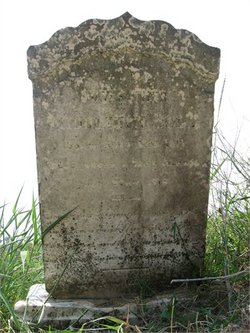
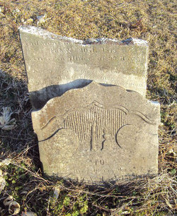
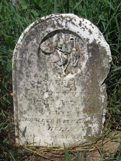
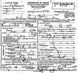
| Birth | : | 3 Apr 1841 Orangeburg County, South Carolina, USA |
| Death | : | 5 Oct 1916 |
| Burial | : | Saint Matthews Lutheran Church, Saint Matthews, Calhoun County, USA |
| Coordinate | : | 33.6175190, -80.6719850 |
| Description | : | Cameron, Oct. 7 - Mrs. Anna Rast, 75 years of age, died at the home of her son, E. G. Rast, Wednesday night. She had been in poor health for many months, but was thought to be steadily improving until a week before her death. She leaves one sister, Mrs. David Aarant of Elloree; two brothers, George Bull and Porter Bull of the Providence section; four sons, as follows: E. G. Rast, L. M. Rast and Dr. E. M. Rast of Cameron, and C. J. Rast of Cordova. The funeral service will be conducted at St. Matthew's Lutheran church by... Read More |
frequently asked questions (FAQ):
-
Where is Anna H. Bull Rast's memorial?
Anna H. Bull Rast's memorial is located at: Saint Matthews Lutheran Church, Saint Matthews, Calhoun County, USA.
-
When did Anna H. Bull Rast death?
Anna H. Bull Rast death on 5 Oct 1916 in
-
Where are the coordinates of the Anna H. Bull Rast's memorial?
Latitude: 33.6175190
Longitude: -80.6719850
Family Members:
Parent
Spouse
Siblings
Children
Flowers:
Nearby Cemetories:
1. Saint Matthews Lutheran Church
Saint Matthews, Calhoun County, USA
Coordinate: 33.6175190, -80.6719850
2. Saint Paul AME Church Cemetery
Creston, Calhoun County, USA
Coordinate: 33.6137640, -80.6624160
3. Rast Cemetery
Calhoun County, USA
Coordinate: 33.6121000, -80.6631660
4. Shady Grove Methodist Church Cemetery
Cameron, Calhoun County, USA
Coordinate: 33.5896560, -80.6767060
5. East Bethel United Methodist Church Cemetery
Saint Matthews, Calhoun County, USA
Coordinate: 33.6350770, -80.6353840
6. Saint Luke A.M.E. Church Cemetery
Lone Star, Calhoun County, USA
Coordinate: 33.6415340, -80.6286180
7. Gates Family Cemetery
Saint Matthews, Calhoun County, USA
Coordinate: 33.6590790, -80.6943780
8. Bethlehem Baptist Church Cemetery
Fort Motte, Calhoun County, USA
Coordinate: 33.6632980, -80.6851910
9. Greater Saint Stephen's AME Church Cemetery
Saint Matthews, Calhoun County, USA
Coordinate: 33.6551260, -80.7127280
10. Shiloh Baptist Church Cemetery
Saint Matthews, Calhoun County, USA
Coordinate: 33.6077410, -80.7335570
11. Providence AME Church Cemetery
Saint Matthews, Calhoun County, USA
Coordinate: 33.6153790, -80.7440400
12. Pine Grove Lutheran Church Cemetery
Lone Star, Calhoun County, USA
Coordinate: 33.6349610, -80.6016470
13. Cedar Grove Baptist Church Cemetery
Lone Star, Calhoun County, USA
Coordinate: 33.6259320, -80.5947950
14. Zimmerman Cemetery
Cameron, Calhoun County, USA
Coordinate: 33.5831700, -80.7386920
15. Cameron Baptist Church
Cameron, Calhoun County, USA
Coordinate: 33.5607180, -80.7142490
16. Irick Cemetery
Lone Star, Calhoun County, USA
Coordinate: 33.6283580, -80.5924100
17. Saint John Baptist Church Cemetery
Cameron, Calhoun County, USA
Coordinate: 33.5524440, -80.6947010
18. Mount Zion AME Church Cemetery
Creston, Calhoun County, USA
Coordinate: 33.5689940, -80.6151050
19. Bodrick Cemetery
Lone Star, Calhoun County, USA
Coordinate: 33.6245880, -80.5891440
20. Saint Mark Baptist Church Cemetery
Lone Star, Calhoun County, USA
Coordinate: 33.6545810, -80.6008700
21. New Bethany Baptist Church Cemetery
Fort Motte, Calhoun County, USA
Coordinate: 33.6826040, -80.6412690
22. Mizpah Baptist Church Cemetery
Fort Motte, Calhoun County, USA
Coordinate: 33.6826400, -80.6410970
23. Moorer Family Cemetery
Saint Matthews, Calhoun County, USA
Coordinate: 33.5841467, -80.7477312
24. Mount Salem Missionary Baptist Church Cemetery
Saint Matthews, Calhoun County, USA
Coordinate: 33.6839870, -80.7080780

