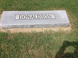
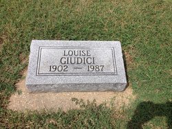
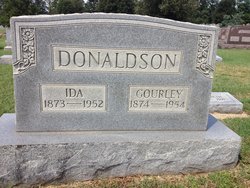
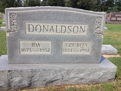
Annie Louise Donaldson Giudici
| Birth | : | 4 Aug 1902 Clay County, Arkansas, USA |
| Death | : | 22 Feb 1987 Paragould, Greene County, Arkansas, USA |
| Burial | : | Woodland Heights Cemetery, Rector, Clay County, USA |
| Coordinate | : | 36.2724991, -90.3039017 |
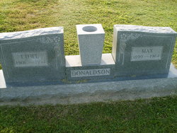
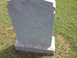
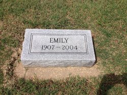
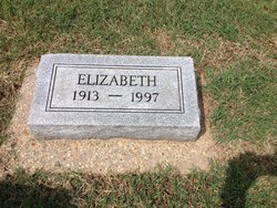
| Description | : | Daughter of Gourley and Ida (Moseley) Donaldson. Louise was one of their eight children who lived to adulthood and grew up in Rector. (One sister died in her teens.) Louise was a teacher in North Little Rock, AR. She married Charles E. "Giudi" Giudici in 1959 and remained in North Little Rock until after his death. She returned to the family home in Rector and lived with her sisters, Emily and Libby, until failing health necessitated a move to assisted living in Paragould. |
frequently asked questions (FAQ):
-
Where is Annie Louise Donaldson Giudici's memorial?
Annie Louise Donaldson Giudici's memorial is located at: Woodland Heights Cemetery, Rector, Clay County, USA.
-
When did Annie Louise Donaldson Giudici death?
Annie Louise Donaldson Giudici death on 22 Feb 1987 in Paragould, Greene County, Arkansas, USA
-
Where are the coordinates of the Annie Louise Donaldson Giudici's memorial?
Latitude: 36.2724991
Longitude: -90.3039017
Family Members:
Parent
Siblings
Flowers:
Nearby Cemetories:
1. Woodland Heights Cemetery
Rector, Clay County, USA
Coordinate: 36.2724991, -90.3039017
2. Scatterville Cemetery
Rector, Clay County, USA
Coordinate: 36.2813683, -90.3131104
3. Parks Cemetery
Rector, Clay County, USA
Coordinate: 36.2619934, -90.3266754
4. Marys Chapel Cemetery
Rector, Clay County, USA
Coordinate: 36.2921982, -90.2830963
5. Mound Cemetery
Clay County, USA
Coordinate: 36.2737312, -90.3426285
6. Hillsboro Cemetery
Rector, Clay County, USA
Coordinate: 36.2975883, -90.2605820
7. Blooming Grove Cemetery
Clay County, USA
Coordinate: 36.3147011, -90.2913971
8. Pleasant Grove Cemetery
Hopewell, Greene County, USA
Coordinate: 36.2543983, -90.3630981
9. Ebenezer Cemetery
Clay County, USA
Coordinate: 36.2887383, -90.3643570
10. Shannon Cemetery
Clay County, USA
Coordinate: 36.2982483, -90.3639374
11. Liberty Hill Cemetery
Boydsville, Clay County, USA
Coordinate: 36.3280983, -90.3182983
12. Hargrave Parish Church
Hargrave Corner, Clay County, USA
Coordinate: 36.2590598, -90.2290688
13. Lone Grave
Clay County, USA
Coordinate: 36.3358002, -90.3331070
14. Travillian Cemetery
Clay County, USA
Coordinate: 36.3382988, -90.2842026
15. Purcell Cemetery
Rector, Clay County, USA
Coordinate: 36.2602997, -90.3910980
16. Leonard Cemetery
Leonard, Clay County, USA
Coordinate: 36.2164001, -90.2481003
17. Johnson Chapel Cemetery
Clay County, USA
Coordinate: 36.3383900, -90.3572400
18. Salem Cemetery
Rector, Clay County, USA
Coordinate: 36.3208008, -90.3818970
19. Mitchell Cemetery
Greenway, Clay County, USA
Coordinate: 36.3352013, -90.2378464
20. Cudd Cemetery
Marmaduke, Greene County, USA
Coordinate: 36.2202988, -90.3955994
21. Winston Cemetery
Clay County, USA
Coordinate: 36.3464012, -90.2382965
22. Harveys Chapel Cemetery
Marmaduke, Greene County, USA
Coordinate: 36.2131004, -90.3906021
23. Mars Hill Cemetery
Crockett, Clay County, USA
Coordinate: 36.3624992, -90.3275604
24. Underwood Cemetery
Clay County, USA
Coordinate: 36.3656006, -90.2639008

