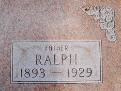
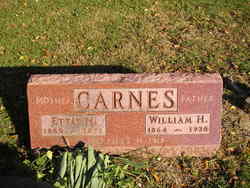
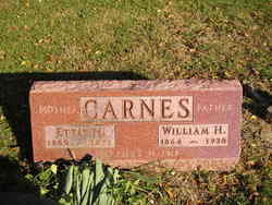
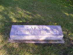
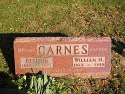
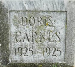
Azel Ralph Carnes
| Birth | : | 2 Apr 1893 Wells County, Indiana, USA |
| Death | : | 19 Sep 1929 Keystone, Wells County, Indiana, USA |
| Burial | : | Friends Cemetery, Keystone, Wells County, USA |
| Coordinate | : | 40.5984039, -85.2587967 |
frequently asked questions (FAQ):
-
Where is Azel Ralph Carnes's memorial?
Azel Ralph Carnes's memorial is located at: Friends Cemetery, Keystone, Wells County, USA.
-
When did Azel Ralph Carnes death?
Azel Ralph Carnes death on 19 Sep 1929 in Keystone, Wells County, Indiana, USA
-
Where are the coordinates of the Azel Ralph Carnes's memorial?
Latitude: 40.5984039
Longitude: -85.2587967
Family Members:
Parent
Spouse
Siblings
Children
Flowers:
Nearby Cemetories:
1. Friends Cemetery
Keystone, Wells County, USA
Coordinate: 40.5984039, -85.2587967
2. Twibell North Cemetery
Montpelier, Blackford County, USA
Coordinate: 40.5632019, -85.2704010
3. Miller Cemetery
Poneto, Wells County, USA
Coordinate: 40.6108017, -85.3069000
4. Saint Johns Catholic Cemetery
Montpelier, Blackford County, USA
Coordinate: 40.5661400, -85.2876000
5. Odd Fellows Cemetery
Montpelier, Blackford County, USA
Coordinate: 40.5650400, -85.2878760
6. Brookside Cemetery
Montpelier, Blackford County, USA
Coordinate: 40.5628500, -85.2878300
7. Woodlawn Cemetery
Montpelier, Blackford County, USA
Coordinate: 40.5539050, -85.2702680
8. Snow Cemetery
Chester Township, Wells County, USA
Coordinate: 40.6211820, -85.3104470
9. Bloxsom Cemetery
Wells County, USA
Coordinate: 40.5750008, -85.1932983
10. Wright Cemetery
Jeff, Wells County, USA
Coordinate: 40.6030998, -85.3469009
11. Miller Cemetery
Jeff, Wells County, USA
Coordinate: 40.6203000, -85.3484900
12. McFarren Cemetery
Bluffton, Wells County, USA
Coordinate: 40.6730830, -85.2468790
13. Grove Cemetery
Poneto, Wells County, USA
Coordinate: 40.6671982, -85.2035980
14. Twibell South Cemetery
Montpelier, Blackford County, USA
Coordinate: 40.5153008, -85.2589035
15. Nottingham Cemetery
Wells County, USA
Coordinate: 40.5816650, -85.1497879
16. Stahl Cemetery
Petroleum, Wells County, USA
Coordinate: 40.6413994, -85.1605988
17. Batson Cemetery
McNatts, Wells County, USA
Coordinate: 40.6333008, -85.3644028
18. Asbury United Methodist Cemetery
Wells County, USA
Coordinate: 40.5816650, -85.3722229
19. Penrod Cemetery
Montpelier, Blackford County, USA
Coordinate: 40.5161781, -85.3231201
20. Jones Cemetery
Wells County, USA
Coordinate: 40.6391983, -85.3731003
21. Lockett Cemetery
Washington Township, Blackford County, USA
Coordinate: 40.5565240, -85.3756020
22. Gearnand Cemetery
Reiffsburg, Wells County, USA
Coordinate: 40.6523972, -85.1457138
23. Pleasantdale Cemetery
Blackford County, USA
Coordinate: 40.4948807, -85.2583694
24. Schmidt Cemetery
Roll, Blackford County, USA
Coordinate: 40.5585136, -85.3850555


