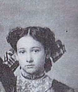
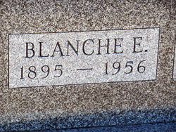
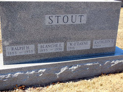
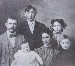
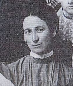
Blanche Elaine Gilchrist Stout
| Birth | : | 6 Dec 1895 Keosauqua, Van Buren County, Iowa, USA |
| Death | : | 27 Apr 1956 Fairfield, Jefferson County, Iowa, USA |
| Burial | : | Shaw Cemetery, Atwood, Carroll County, USA |
| Coordinate | : | 35.9786000, -88.6322200 |
| Plot | : | 3rd.130 |
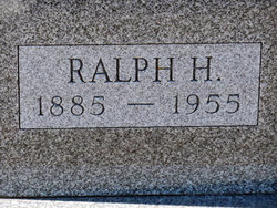
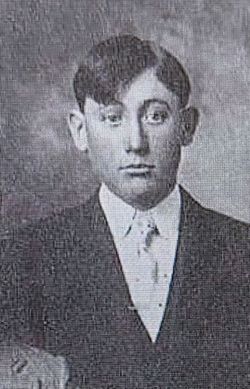
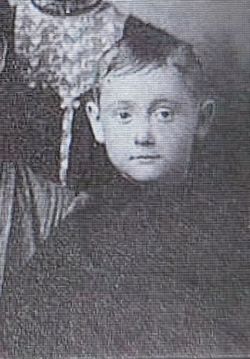
| Description | : | Wife of Ralph Henry Stout. ---------------------- Fairfield (Ia.) Daily Ledger Friday, April 27, 1956 Mrs. Ralph STOUT Dies Suddenly Mrs. Ralph STOUT, 61½ S. Court St., died suddenly at her home this afternoon. Death was believed due to a heart attack. Mrs. STOUT had called her physician to report that she was not feeling well. He found her dead upon arrival and called County Coroner Jack Raymond. Mrs. STOUT was the former Blanche GILCHRIST. She is survived by a son, Dayne STOUT, Albuquerque, N. M., one grandson, and a brother... Read More |
frequently asked questions (FAQ):
-
Where is Blanche Elaine Gilchrist Stout's memorial?
Blanche Elaine Gilchrist Stout's memorial is located at: Shaw Cemetery, Atwood, Carroll County, USA.
-
When did Blanche Elaine Gilchrist Stout death?
Blanche Elaine Gilchrist Stout death on 27 Apr 1956 in Fairfield, Jefferson County, Iowa, USA
-
Where are the coordinates of the Blanche Elaine Gilchrist Stout's memorial?
Latitude: 35.9786000
Longitude: -88.6322200
Family Members:
Parent
Spouse
Siblings
Children
Flowers:
Nearby Cemetories:
1. Shaw Cemetery
Atwood, Carroll County, USA
Coordinate: 35.9786000, -88.6322200
2. Jones Cemetery
McLemoresville, Carroll County, USA
Coordinate: 35.9791500, -88.6106400
3. Hurt Family Cemetery
Trezevant, Carroll County, USA
Coordinate: 35.9790900, -88.6105700
4. Clark Family Cemetery
Atwood, Carroll County, USA
Coordinate: 35.9556900, -88.6333900
5. Pisgah Cemetery
Atwood, Carroll County, USA
Coordinate: 35.9766998, -88.6622009
6. Keaton Cemetery
Carroll County, USA
Coordinate: 35.9611015, -88.6585999
7. Moore-Jones Cemetery
Carroll County, USA
Coordinate: 35.9543870, -88.6158080
8. Howse Cemetery
Howse, Carroll County, USA
Coordinate: 35.9499600, -88.6458800
9. Browning Family Cemetery
Atwood, Carroll County, USA
Coordinate: 35.9636700, -88.6662600
10. Clay Family Cemetery
Atwood, Carroll County, USA
Coordinate: 35.9597400, -88.6012900
11. Trezevant Cemetery
Trezevant, Carroll County, USA
Coordinate: 36.0120400, -88.6195660
12. Mount Ararat Cemetery
Trezevant, Carroll County, USA
Coordinate: 36.0140960, -88.6293450
13. Reedy Creek Church Cemetery
McLemoresville, Carroll County, USA
Coordinate: 35.9888440, -88.5807860
14. Kitty Wright Cemetery
McLemoresville, Carroll County, USA
Coordinate: 35.9455850, -88.5982510
15. Leach Cemetery
Atwood, Carroll County, USA
Coordinate: 35.9359000, -88.6448800
16. McLemoresville Cemetery
McLemoresville, Carroll County, USA
Coordinate: 35.9882400, -88.5788000
17. Brooks Cemetery
Atwood, Carroll County, USA
Coordinate: 35.9430920, -88.5980040
18. New Reedy Creek Baptist Church Cemetery
McLemoresville, Carroll County, USA
Coordinate: 35.9693570, -88.5737870
19. Blanks Family Cemetery
Trezevant, Carroll County, USA
Coordinate: 36.0193000, -88.5999000
20. Republican Grove Cemetery
Trezevant, Carroll County, USA
Coordinate: 36.0235150, -88.6545770
21. Hillsman Cemetery
Trezevant, Carroll County, USA
Coordinate: 36.0106870, -88.5826890
22. Mount Olive Cemetery #2
Atwood, Carroll County, USA
Coordinate: 35.9648760, -88.6944160
23. Oak Grove Cemetery
Trezevant, Carroll County, USA
Coordinate: 36.0350060, -88.6398990
24. Harris Cemetery
Trezevant, Carroll County, USA
Coordinate: 36.0174950, -88.5809410

