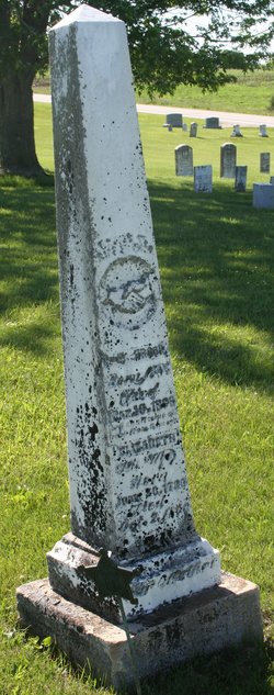
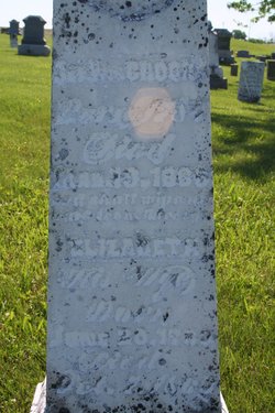
| Birth | : | 23 Apr 1826 Ohio, USA |
| Death | : | 5 Sep 1911 Iowa, USA |
| Burial | : | Pilot Butte Cemetery, Bend, Deschutes County, USA |
| Coordinate | : | 44.0525360, -121.2886150 |
| Plot | : | h row 12 |
| Description | : | Co F 2nd Iowa Infantry Name: Allen T Brooks Residence: Keosauqua, Iowa Age at enlistment: 36 Enlistment Date: 5 Jan 1861 Rank at enlistment: Captain State Served: Iowa Survived the War?: Yes Service Record: Commissioned an officer in Company F, Iowa 2nd Infantry Regiment on 27 May 1861. Mustered out on 01 Nov 1861. Birth Date: abt 1825 Sources: Roster & Record of Iowa Soldiers in the War of Rebellion Son of William and Elizabeth (Stitt) Brooks |
frequently asked questions (FAQ):
-
Where is Capt Allen Trimble Brooks's memorial?
Capt Allen Trimble Brooks's memorial is located at: Pilot Butte Cemetery, Bend, Deschutes County, USA.
-
When did Capt Allen Trimble Brooks death?
Capt Allen Trimble Brooks death on 5 Sep 1911 in Iowa, USA
-
Where are the coordinates of the Capt Allen Trimble Brooks's memorial?
Latitude: 44.0525360
Longitude: -121.2886150
Family Members:
Parent
Spouse
Siblings
Children
Flowers:
Nearby Cemetories:
1. Pilot Butte Cemetery
Bend, Deschutes County, USA
Coordinate: 44.0525360, -121.2886150
2. Greenwood Cemetery
Bend, Deschutes County, USA
Coordinate: 44.0569000, -121.2866974
3. Trinity Episcopal Church Columbarium
Bend, Deschutes County, USA
Coordinate: 44.0558840, -121.3178980
4. Deschutes Memorial Gardens
Bend, Deschutes County, USA
Coordinate: 44.1183014, -121.2906036
5. Tumalo Cemetery
Tumalo, Deschutes County, USA
Coordinate: 44.1652985, -121.3181000
6. Cooley-Tetherow Meek Cutoff Lone Burial Site
Redmond, Deschutes County, USA
Coordinate: 44.2246700, -121.2066700
7. Lost Immigrant Grave
Alfalfa, Deschutes County, USA
Coordinate: 44.0601578, -121.0321198
8. Redmond Memorial Cemetery
Redmond, Deschutes County, USA
Coordinate: 44.2449989, -121.2016983
9. Harper Cemetery
La Pine, Deschutes County, USA
Coordinate: 43.8582993, -121.4458008
10. Pilgrims Rest Cemetery
Powell Butte, Crook County, USA
Coordinate: 44.2038400, -121.0271400
11. Vandevert Gravesite
Sunriver, Deschutes County, USA
Coordinate: 43.8315163, -121.4457169
12. Cyrus Cemetery
Cloverdale, Deschutes County, USA
Coordinate: 44.2693500, -121.4727000
13. Saint Winefrides Garden
Sisters, Deschutes County, USA
Coordinate: 44.2922940, -121.5674410
14. Terrebonne Pioneer Cemetery
Terrebonne, Deschutes County, USA
Coordinate: 44.3486100, -121.1502800
15. Camp Polk Cemetery
Cloverdale, Deschutes County, USA
Coordinate: 44.3231010, -121.5139008
16. Breese Cemetery
Paulina Lake Lodge, Deschutes County, USA
Coordinate: 43.7263985, -121.4375000
17. LaPine Community Cemetery
La Pine, Deschutes County, USA
Coordinate: 43.6749992, -121.4561005
18. McCoin Orchard Grave Site
Opal City, Jefferson County, USA
Coordinate: 44.4284000, -121.0888100
19. Juniper Haven Cemetery
Prineville, Crook County, USA
Coordinate: 44.3153000, -120.8471985
20. Gray Butte Cemetery
Culver, Jefferson County, USA
Coordinate: 44.4626007, -121.0992966
21. Roberts Cemetery
Crook County, USA
Coordinate: 44.0755997, -120.6875000
22. Craig Grave
Lane County, USA
Coordinate: 44.2461014, -121.8427963
23. Grandview Cemetery
Jefferson County, USA
Coordinate: 44.4944000, -121.3707962
24. Dehler Grizzly Mountain Cemetery
Prineville, Crook County, USA
Coordinate: 44.4251800, -120.9356100


