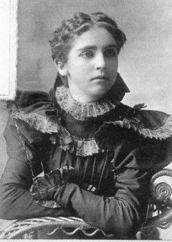
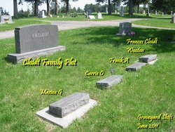
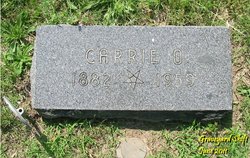
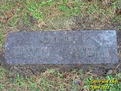
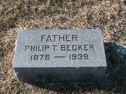
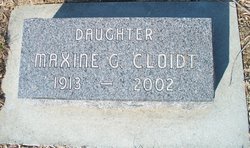
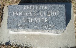
Carrie Ollie Becker Cloidt
| Birth | : | 23 Jul 1882 Plattsmouth, Cass County, Nebraska, USA |
| Death | : | 1959 Plattsmouth, Cass County, Nebraska, USA |
| Burial | : | Locust Field Cemetery, Canton, Haywood County, USA |
| Coordinate | : | 35.5294810, -82.8340490 |
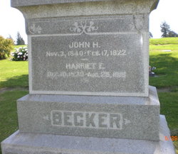
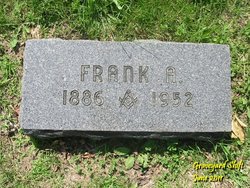
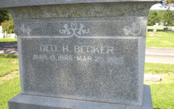
| Description | : | Youngest Daughter of John H. & Harriet E. Becker. Married to Frank A. Cloidt. |
frequently asked questions (FAQ):
-
Where is Carrie Ollie Becker Cloidt's memorial?
Carrie Ollie Becker Cloidt's memorial is located at: Locust Field Cemetery, Canton, Haywood County, USA.
-
When did Carrie Ollie Becker Cloidt death?
Carrie Ollie Becker Cloidt death on 1959 in Plattsmouth, Cass County, Nebraska, USA
-
Where are the coordinates of the Carrie Ollie Becker Cloidt's memorial?
Latitude: 35.5294810
Longitude: -82.8340490
Family Members:
Parent
Spouse
Siblings
Children
Flowers:
Nearby Cemetories:
1. Locust Field Cemetery
Canton, Haywood County, USA
Coordinate: 35.5294810, -82.8340490
2. Saint Andrews on the Hill Episcopal Church Garden
Canton, Haywood County, USA
Coordinate: 35.5314230, -82.8357430
3. Gibsontown Cemetery
Gibsontown, Haywood County, USA
Coordinate: 35.5252500, -82.8249600
4. Smathers Cemetery
West Canton, Haywood County, USA
Coordinate: 35.5344009, -82.8503036
5. West Canton-Phillipsville Community Cemetery
West Canton, Haywood County, USA
Coordinate: 35.5351900, -82.8510300
6. Morning Star United Methodist Church Cemetery
Canton, Haywood County, USA
Coordinate: 35.5134720, -82.8145730
7. Sunny Point Baptist Church Cemetery
Haywood County, USA
Coordinate: 35.5065900, -82.8369100
8. North Canton Community Cemetery
Canton, Haywood County, USA
Coordinate: 35.5583000, -82.8388977
9. Plains United Methodist Church Cemetery
Canton, Haywood County, USA
Coordinate: 35.5536000, -82.8133000
10. Raymond Fairchild Memorial Garden
Canton, Haywood County, USA
Coordinate: 35.5588064, -82.8383400
11. Bon-A-Venture Cemetery New
Canton, Haywood County, USA
Coordinate: 35.5539300, -82.8107900
12. Center Pigeon Baptist Church Cemetery
Canton, Haywood County, USA
Coordinate: 35.5053180, -82.8581450
13. Patton Cemetery
West Canton, Haywood County, USA
Coordinate: 35.5381012, -82.8707962
14. Piney Grove Methodist Church Cemetery
Canton, Haywood County, USA
Coordinate: 35.5108500, -82.8667000
15. Justice-Red Hill School Cemetery
Canton, Haywood County, USA
Coordinate: 35.5369930, -82.7899970
16. Bon-A-Venture Cemetery Old
West Canton, Haywood County, USA
Coordinate: 35.5335999, -82.8835983
17. Oak Grove Baptist Church Cemetery
Clyde, Haywood County, USA
Coordinate: 35.5592200, -82.8679000
18. Haynes Family Cemetery
Canton, Haywood County, USA
Coordinate: 35.5322200, -82.8847600
19. Old Thickety Cemetery
Clyde, Haywood County, USA
Coordinate: 35.5537454, -82.8769841
20. Hall Cemetery
Haywood County, USA
Coordinate: 35.5656013, -82.8039017
21. Spring Hill Baptist Church Cemetery
Canton, Haywood County, USA
Coordinate: 35.4864610, -82.8501960
22. Longs Community Cemetery
Canton, Haywood County, USA
Coordinate: 35.4878650, -82.8561950
23. Clark Chapel Cemetery
Haywood County, USA
Coordinate: 35.5680900, -82.8636100
24. Smathers Cemetery
Haywood County, USA
Coordinate: 35.5750008, -82.8313980

