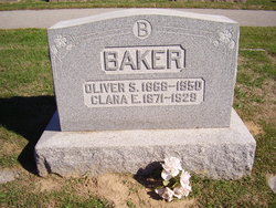
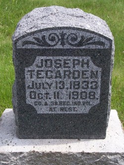
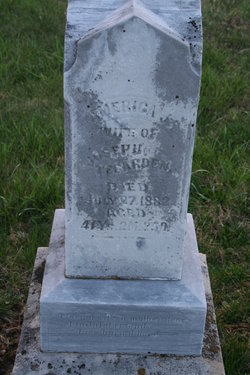
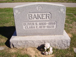
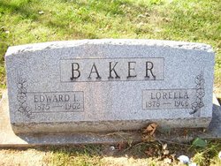
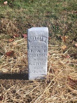
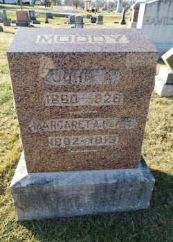
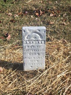
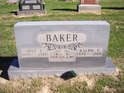
Clara Etta Tegarden Baker
| Birth | : | 13 Aug 1871 |
| Death | : | 28 Aug 1929 |
| Burial | : | Rock Bridge Cemetery, Apex, Christian County, USA |
| Coordinate | : | 37.0980000, -87.3410670 |
| Plot | : | Row 10 |
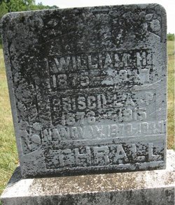
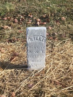
| Description | : | Dau of Joseph Tegarden and America 'Worrell' |
frequently asked questions (FAQ):
-
Where is Clara Etta Tegarden Baker's memorial?
Clara Etta Tegarden Baker's memorial is located at: Rock Bridge Cemetery, Apex, Christian County, USA.
-
When did Clara Etta Tegarden Baker death?
Clara Etta Tegarden Baker death on 28 Aug 1929 in
-
Where are the coordinates of the Clara Etta Tegarden Baker's memorial?
Latitude: 37.0980000
Longitude: -87.3410670
Family Members:
Parent
Spouse
Siblings
Children
Nearby Cemetories:
1. Rock Bridge Cemetery
Apex, Christian County, USA
Coordinate: 37.0980000, -87.3410670
2. Atkinson Cemetery
Hopkinsville, Christian County, USA
Coordinate: 37.1002998, -87.3383026
3. Jackson Cemetery #3
Apex, Christian County, USA
Coordinate: 37.0876730, -87.3365560
4. Pennington Cemetery
Apex, Christian County, USA
Coordinate: 37.0883400, -87.3520090
5. Jackson Cemetery #1
Apex, Christian County, USA
Coordinate: 37.0821600, -87.3296360
6. Overton Cemetery
Haleys Mill, Christian County, USA
Coordinate: 37.0806710, -87.3258380
7. Haleys Mill Cemetery
Haleys Mill, Christian County, USA
Coordinate: 37.0767560, -87.3500630
8. Dunning Cemetery
Christian County, USA
Coordinate: 37.0802994, -87.3610992
9. Jackson Cemetery #2
Apex, Christian County, USA
Coordinate: 37.1264500, -87.3427680
10. Bass Cemetery #2
Christian County, USA
Coordinate: 37.0957985, -87.3000031
11. Coal Creek Cemetery
Crofton, Christian County, USA
Coordinate: 37.0618070, -87.3477860
12. Grissom Cemetery
Hopkinsville, Christian County, USA
Coordinate: 37.0767890, -87.2980940
13. Lile Family Cemetery
Greenville, Muhlenberg County, USA
Coordinate: 37.1241910, -87.3021700
14. Atkinson Cemetery
Bancroft, Muhlenberg County, USA
Coordinate: 37.1302130, -87.2985650
15. Ebling Cemetery
Christian County, USA
Coordinate: 37.0672780, -87.2948600
16. Cary Cemetery
Muhlenberg County, USA
Coordinate: 37.0938988, -87.2761002
17. Grace Cemetery #1
Christian County, USA
Coordinate: 37.0668450, -87.2848290
18. Stanley Cemetery
White Plains, Hopkins County, USA
Coordinate: 37.1375008, -87.4030991
19. Coles Chapel Cemetery
Christian County, USA
Coordinate: 37.0991120, -87.4212460
20. Faulk Cemetery
Mortons Gap, Hopkins County, USA
Coordinate: 37.1400000, -87.2800000
21. Judges Chapel Baptist Church Cemetery
Fruit Hill, Christian County, USA
Coordinate: 37.0343000, -87.3562230
22. Oates Family Cemetery
White Plains, Hopkins County, USA
Coordinate: 37.1544770, -87.3873530
23. Mount Carmel Cemetery
White Plains, Hopkins County, USA
Coordinate: 37.1674450, -87.3681340
24. Greens Chapel Cemetery
Greenville, Muhlenberg County, USA
Coordinate: 37.1561100, -87.2842310

