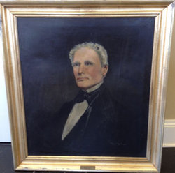
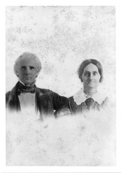
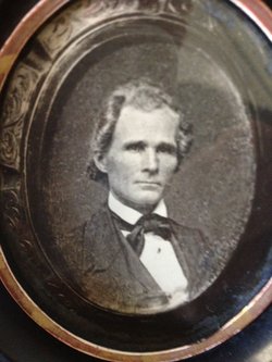
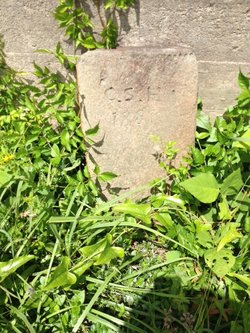
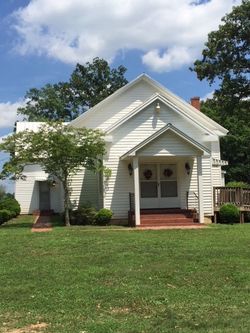
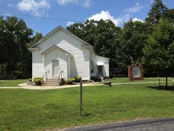
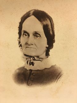
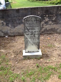
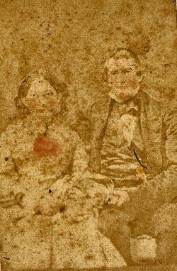
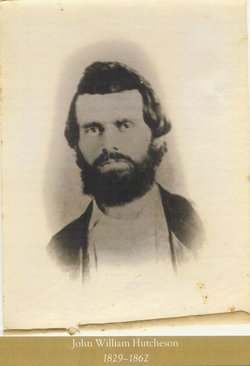
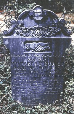
Col Charles Sterling Hutcheson
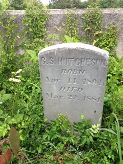
| Birth | : | 14 Apr 1804 Mecklenburg County, Virginia, USA |
| Death | : | 22 Mar 1881 Mecklenburg County, Virginia, USA |
| Burial | : | Hillcrest Cemetery, Smiths Falls, Lanark County, Canada |
| Coordinate | : | 44.9093330, -76.0402590 |
| Plot | : | Mt Airy Plantation |
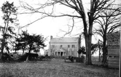
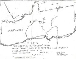
| Description | : | Sterling was the second oldest son of Joseph and Rebecca Neblett Hutcheson. He received basic home schooling and some formal education for those times. Circuit preachers were often at his parent's home where they gave the children texts and books to read. He married "Polly", Mary M. Hutcheson, a second cousin, 11/12/1823. They lived in a modest cottage on land that he received from his father until three years after the first child was born. The approximate date of the new home's construction was 1831/32. The farm went by the name of "Mount Airy"; probably to differentiate it from the... Read More |
frequently asked questions (FAQ):
-
Where is Col Charles Sterling Hutcheson's memorial?
Col Charles Sterling Hutcheson's memorial is located at: Hillcrest Cemetery, Smiths Falls, Lanark County, Canada.
-
When did Col Charles Sterling Hutcheson death?
Col Charles Sterling Hutcheson death on 22 Mar 1881 in Mecklenburg County, Virginia, USA
-
Where are the coordinates of the Col Charles Sterling Hutcheson's memorial?
Latitude: 44.9093330
Longitude: -76.0402590
Family Members:
Parent
Spouse
Siblings
Children
Flowers:
Nearby Cemetories:
1. Hillcrest Cemetery
Smiths Falls, Lanark County, Canada
Coordinate: 44.9093330, -76.0402590
2. Saint John's Anglican Church Cemetery
Smiths Falls, Lanark County, Canada
Coordinate: 44.9110110, -76.0260180
3. Saint Francis de Sales Cemetery
Numogate, Lanark County, Canada
Coordinate: 44.9432300, -76.0354700
4. Maple Vale Cemetery
South Elmsley, Leeds and Grenville United Counties, Canada
Coordinate: 44.8774300, -76.0152600
5. McVean Cemetery
Numogate, Lanark County, Canada
Coordinate: 44.9534830, -76.0461890
6. Saint James Anglican Cemetery
Port Elmsley, Lanark County, Canada
Coordinate: 44.8917210, -76.1153860
7. Saint Bede's Anglican Cemetery
Smiths Falls, Lanark County, Canada
Coordinate: 44.9549520, -75.9801190
8. VanDusen Cemetery
Rosedale, Lanark County, Canada
Coordinate: 44.8953400, -75.9472800
9. Blessed Sacrament Cemetery
Lombardy, Leeds and Grenville United Counties, Canada
Coordinate: 44.8232500, -76.0866200
10. Holy Trinity Anglican Cemetery
Lombardy, Leeds and Grenville United Counties, Canada
Coordinate: 44.8227720, -76.0861150
11. Lumbar Family Cemetery
Lombardy, Leeds and Grenville United Counties, Canada
Coordinate: 44.8220550, -76.0860940
12. Wolford Rural Cemetery
Jasper, Leeds and Grenville United Counties, Canada
Coordinate: 44.8611300, -75.9256100
13. Lombardy Methodist Cemetery
Lombardy, Leeds and Grenville United Counties, Canada
Coordinate: 44.8205630, -76.0932530
14. Rideau Ferry Cemetery
Rideau Ferry, Lanark County, Canada
Coordinate: 44.8568700, -76.1634000
15. Campbell Cemetery
Perth, Lanark County, Canada
Coordinate: 44.9241486, -76.1950183
16. Millar Brooke Farm Cemetery
Lanark County, Canada
Coordinate: 44.8791300, -76.1973330
17. Forbes Cemetery
Motts Mills, Leeds and Grenville United Counties, Canada
Coordinate: 44.7961807, -76.0087891
18. Barton Family Burial Site
Merrickville, Leeds and Grenville United Counties, Canada
Coordinate: 44.9021940, -75.8770240
19. Christ Church Pioneer Cemetery
Montague, Lanark County, Canada
Coordinate: 45.0025270, -75.9364830
20. Easton's Corners United Church Cemetery
Eastons Corners, Leeds and Grenville United Counties, Canada
Coordinate: 44.8365570, -75.8842990
21. St. Anne's Anglican Cemetery
Jasper, Leeds and Grenville United Counties, Canada
Coordinate: 44.8362400, -75.8833400
22. Saint John's Parish Cemetery
Perth, Lanark County, Canada
Coordinate: 44.9055700, -76.2316700
23. Saint Paul's United Church Cemetery
Perth, Lanark County, Canada
Coordinate: 44.8963120, -76.2363810
24. Franktown Public Cemetery
Franktown, Lanark County, Canada
Coordinate: 45.0494280, -76.0551910

