
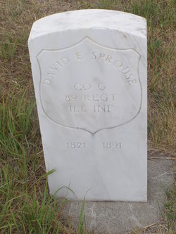
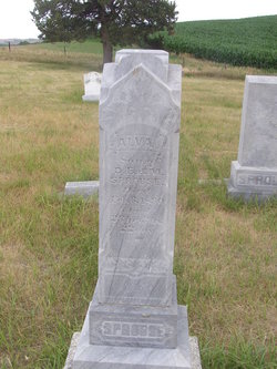
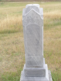
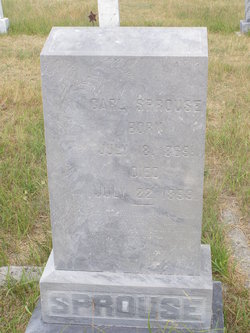
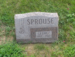
David E. Sprouse
| Birth | : | 1828 Augusta County, Virginia, USA |
| Death | : | 9 Jan 1891 Custer County, Nebraska, USA |
| Burial | : | Charity Hill Baptist Church Cemetery, Mountain Park, Surry County, USA |
| Coordinate | : | 36.3858070, -80.8671951 |
| Plot | : | Lot 116 |
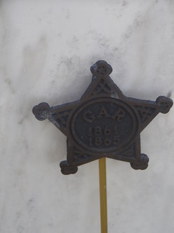
| Description | : | Residence Weller IL; Enlisted on 8/25/1862 as a private and was mustered into Co. G, 89th Illinois Infantry He was discharged for disability on 3/27/1865 ~~~~~~~~~~~~~~~~~~~~~~~~~~~~~~~~~~~~~~~ David was born 1828 in VA. He enlisted Aug. 9, 1862 as Private in Co G 89th Ill Volunteer Infantry, Capt. Howell's Co. Wounded at Stone River, Murfreesboro, Tennessee, Dec. 1862 in leg (right thigh) and foot when shell burst. Recovered, returned to battle, taken prisoner Dec-June 1863 at Benton Bks, MO, released, served in Pennsylvania unit. Detailed with the 29th Penn. Battery Oct 27, 1863-Dec 31, 1863. Wounded again at Pickett Mills, Georgia, May 27,... Read More |
frequently asked questions (FAQ):
-
Where is David E. Sprouse's memorial?
David E. Sprouse's memorial is located at: Charity Hill Baptist Church Cemetery, Mountain Park, Surry County, USA.
-
When did David E. Sprouse death?
David E. Sprouse death on 9 Jan 1891 in Custer County, Nebraska, USA
-
Where are the coordinates of the David E. Sprouse's memorial?
Latitude: 36.3858070
Longitude: -80.8671951
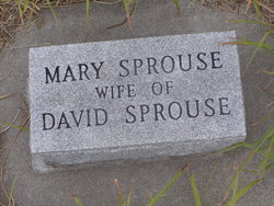
Family Members:
Parent
Spouse
Siblings
Children


Flowers:


Nearby Cemetories:
1. Charity Hill Baptist Church Cemetery
Mountain Park, Surry County, USA
Coordinate: 36.3858070, -80.8671951
2. Samuel Isaacks Cemetery
Thurmond, Surry County, USA
Coordinate: 36.3978610, -80.8729170
3. Mountain Park Cemetery
Mountain Park, Surry County, USA
Coordinate: 36.3770828, -80.8549194
4. Kennedy Cemetery
Mountain Park, Surry County, USA
Coordinate: 36.3668740, -80.8746310
5. Union Hill Baptist Church Cemetery
Union Hill, Surry County, USA
Coordinate: 36.4012500, -80.8848610
6. Harris Family Cemetery
Thurmond, Surry County, USA
Coordinate: 36.3858870, -80.8968290
7. Smith-Jennings Family Cemetery
Elkin Township, Surry County, USA
Coordinate: 36.3736616, -80.8377105
8. Rocky Ford Baptist Church Cemetery
Mountain Park, Surry County, USA
Coordinate: 36.4160576, -80.8523865
9. Lineberry Family Cemetery
Dobson, Surry County, USA
Coordinate: 36.3961300, -80.8276300
10. Cockerham Graveyard
Mountain Park, Surry County, USA
Coordinate: 36.3518100, -80.8540160
11. Swift Family Cemetery
Mountain Park, Surry County, USA
Coordinate: 36.3474731, -80.8469162
12. State Road Primitive Baptist Church Cemetery
State Road, Surry County, USA
Coordinate: 36.3520279, -80.8977814
13. White Rock Methodist Cemetery
Thurmond, Surry County, USA
Coordinate: 36.3875008, -80.9192200
14. Golden Family Cemetery
State Road, Surry County, USA
Coordinate: 36.3439700, -80.8567300
15. Mann Family Cemetery
Elkin, Surry County, USA
Coordinate: 36.3656990, -80.8189490
16. Zephyr Cemetery
Elkin, Surry County, USA
Coordinate: 36.3669170, -80.8140280
17. Laster Wall Cemetery
Elkin, Surry County, USA
Coordinate: 36.3557222, -80.8224722
18. Moody Family Cemetery
State Road, Surry County, USA
Coordinate: 36.3382510, -80.8846200
19. Central Full Gospel Church Cemetery
State Road, Surry County, USA
Coordinate: 36.3346252, -80.8777466
20. Walker Cemetery
Thurmond, Surry County, USA
Coordinate: 36.4089012, -80.9266968
21. Gid Branch Baptist Church Cemetery
Thurmond, Surry County, USA
Coordinate: 36.3708650, -80.9315800
22. Mount Pleasant Baptist Church Cemetery
State Road, Surry County, USA
Coordinate: 36.3289030, -80.8670950
23. Pleasant Union Baptist Church Cemetery
Salemfork, Surry County, USA
Coordinate: 36.4208060, -80.8063610
24. Crossroads Missionary Baptist Church Cemetery
Salemfork, Surry County, USA
Coordinate: 36.4212780, -80.8057500