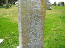
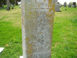
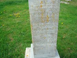
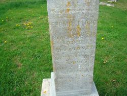
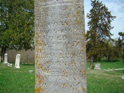
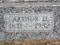
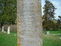
David Long
| Birth | : | 31 Oct 1827 Franklin County, Pennsylvania, USA |
| Death | : | 19 Aug 1885 Fairfield, Jefferson County, Iowa, USA |
| Burial | : | Perth General Cemetery, Perth, Northern Midlands Council, Australia |
| Coordinate | : | -41.5775800, 147.1612200 |
| Plot | : | Plot 27 |
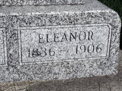
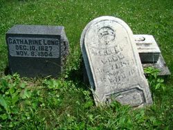
| Description | : | Son of John and Mary Magdalene Long. They are buried at the Berry Cemetery in Jefferson County, Iowa (unmarked graves, however). Brother of William Long, who is buried in this same cemetery in plot 30 with members of his family. David, in the course of his life, was a carpenter, farmer, and sawmill operator. First married to Sarah Henderson on or about January 6, 1853 in Jefferson County, Iowa. Children: Ehumia J Long, Mary Agnes Long, and Anna Myelma/Mylema Long. After Sarah died in 1863, David went on to marry the recently widowed Eleanor Gregg Corbitt. His step-children were: Elizabeth (Lizzie)... Read More |
frequently asked questions (FAQ):
-
Where is David Long's memorial?
David Long's memorial is located at: Perth General Cemetery, Perth, Northern Midlands Council, Australia.
-
When did David Long death?
David Long death on 19 Aug 1885 in Fairfield, Jefferson County, Iowa, USA
-
Where are the coordinates of the David Long's memorial?
Latitude: -41.5775800
Longitude: 147.1612200
Family Members:
Parent
Spouse
Siblings
Children
Flowers:
Nearby Cemetories:
1. Perth General Cemetery
Perth, Northern Midlands Council, Australia
Coordinate: -41.5775800, 147.1612200
2. St. Andrew's Anglican Cemetery
Perth, Northern Midlands Council, Australia
Coordinate: -41.5727500, 147.1777170
3. Longford Christ Church Pioneer Cemetery
Longford, Northern Midlands Council, Australia
Coordinate: -41.5943270, 147.1194860
4. St Augustine Catholic Church Cemetery
Longford, Northern Midlands Council, Australia
Coordinate: -41.5932650, 147.1140900
5. Longford Uniting Church Cemetery
Longford, Northern Midlands Council, Australia
Coordinate: -41.6096150, 147.1162410
6. Longford General Cemetery
Longford, Northern Midlands Council, Australia
Coordinate: -41.6223790, 147.1055480
7. St. Andrew's Uniting Church Cemetery
Evandale, Northern Midlands Council, Australia
Coordinate: -41.5713670, 147.2452090
8. Saint Andrews Anglican Cemetery
Evandale, Northern Midlands Council, Australia
Coordinate: -41.5694500, 147.2478100
9. Evandale Rose Garden
Evandale, Northern Midlands Council, Australia
Coordinate: -41.5698800, 147.2489770
10. Evandale Catholic Cemetery
Evandale, Northern Midlands Council, Australia
Coordinate: -41.5685580, 147.2530820
11. Illawarra Christ Church Cemetery
Carrick, Meander Valley Council, Australia
Coordinate: -41.5502380, 147.0651810
12. St. James Anglican Church Cemetery
Youngtown, Launceston City, Australia
Coordinate: -41.4900170, 147.1662147
13. White Hills St Johns Anglican Church Cemetery
White Hills, Launceston City, Australia
Coordinate: -41.5177060, 147.2517580
14. Relbia Cemetery
Relbia, Launceston City, Australia
Coordinate: -41.4888470, 147.2235540
15. Hadspen Uniting Church Cemetery
Hadspen, Meander Valley Council, Australia
Coordinate: -41.5064200, 147.0637300
16. Church Of The Good Shepherd
Hadspen, Meander Valley Council, Australia
Coordinate: -41.5076150, 147.0618590
17. Quarantine Station Cemetery
Kings Meadows, Launceston City, Australia
Coordinate: -41.4744510, 147.1743800
18. White Hills Uniting Church Cemetery
White Hills, Launceston City, Australia
Coordinate: -41.5047916, 147.2604198
19. Prospect Vale Congregational Cemetery
Prospect Vale, Meander Valley Council, Australia
Coordinate: -41.4751150, 147.1275000
20. Carr Villa War Cemetery
Kings Meadows, Launceston City, Australia
Coordinate: -41.4714880, 147.1722230
21. Launceston Garden of Remembrance
Launceston, Launceston City, Australia
Coordinate: -41.4706010, 147.1717710
22. Carr Villa Memorial Park
Kings Meadows, Launceston City, Australia
Coordinate: -41.4697360, 147.1672120
23. Launceston Convict Cemetery
Launceston, Launceston City, Australia
Coordinate: -41.4598090, 147.1450870
24. St. Leonards Historic Methodist Cemetery
Saint Leonards, Launceston City, Australia
Coordinate: -41.4594210, 147.1996960

