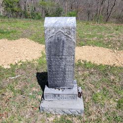
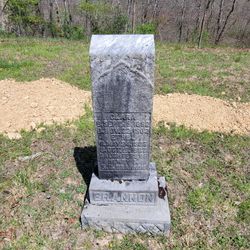
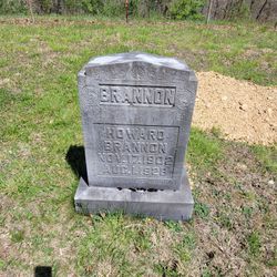
Ethel F. Brannon
| Birth | : | 24 May 1906 Conings, Gilmer County, West Virginia, USA |
| Death | : | 17 Oct 1907 Conings, Gilmer County, West Virginia, USA |
| Burial | : | Brannon Cemetery, Gilmer County, USA |
| Coordinate | : | 39.0997009, -80.7718964 |
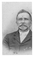
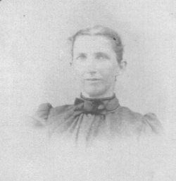
| Description | : | Ethel F. Brannon was the daughter of Henry Brannon and Rosa Dove Brannon. |
frequently asked questions (FAQ):
-
Where is Ethel F. Brannon's memorial?
Ethel F. Brannon's memorial is located at: Brannon Cemetery, Gilmer County, USA.
-
When did Ethel F. Brannon death?
Ethel F. Brannon death on 17 Oct 1907 in Conings, Gilmer County, West Virginia, USA
-
Where are the coordinates of the Ethel F. Brannon's memorial?
Latitude: 39.0997009
Longitude: -80.7718964
Family Members:
Parent
Siblings
Flowers:
Nearby Cemetories:
1. Brannon Cemetery
Gilmer County, USA
Coordinate: 39.0997009, -80.7718964
2. Spurgeon Cemetery
Conings, Gilmer County, USA
Coordinate: 39.1019000, -80.7801750
3. Lowther Cemetery
Doddridge County, USA
Coordinate: 39.1096992, -80.7656021
4. Mount Earnest Cemetery
Gilmer County, USA
Coordinate: 39.0867004, -80.7652969
5. Big Run Cemetery
Gilmer County, USA
Coordinate: 39.0802994, -80.7585983
6. Keister Cemetery
Gilmer County, USA
Coordinate: 39.0727997, -80.7817001
7. Mount Union Methodist Cemetery
Leopold, Doddridge County, USA
Coordinate: 39.1133330, -80.8050000
8. Point Pleasant Cemetery
Oxford, Doddridge County, USA
Coordinate: 39.1032982, -80.7281036
9. Point Pleasant Baptist Church Cemetery
Leopold, Doddridge County, USA
Coordinate: 39.1036730, -80.7268200
10. Grove Church Cemetery
Grove, Doddridge County, USA
Coordinate: 39.1474600, -80.7707700
11. Grove Cemetery
West Union, Doddridge County, USA
Coordinate: 39.1478004, -80.7711029
12. Hall Cemetery
Gilmer County, USA
Coordinate: 39.0816994, -80.8383026
13. Auburn Baptist Church Cemetery
Auburn, Ritchie County, USA
Coordinate: 39.0819200, -80.8384600
14. Leason Cemetery
Doddridge County, USA
Coordinate: 39.1506004, -80.8005981
15. Halderman Cemetery
Lewis County, USA
Coordinate: 39.0821991, -80.7039032
16. Saint Clare Cemetery
Saint Clara, Doddridge County, USA
Coordinate: 39.1258011, -80.7046967
17. Saint Johannes Lutheran Church Cemetery
New Milton, Doddridge County, USA
Coordinate: 39.1258320, -80.7014290
18. Hurst Cemetery
Lewis County, USA
Coordinate: 39.0741997, -80.6999969
19. Auburn Community Cemetery
Auburn, Ritchie County, USA
Coordinate: 39.0960999, -80.8533020
20. Redemption Cemetery
Doddridge County, USA
Coordinate: 39.1506004, -80.7130966
21. Troy IOOF Community Cemetery
Troy, Gilmer County, USA
Coordinate: 39.0281170, -80.7679560
22. Carder Cemetery
Vadis, Lewis County, USA
Coordinate: 39.0433006, -80.7142029
23. Fisher Cemetery
Troy, Gilmer County, USA
Coordinate: 39.0480500, -80.8400000
24. Straight Run Cemetery
Hurst, Lewis County, USA
Coordinate: 39.0802994, -80.6774979

