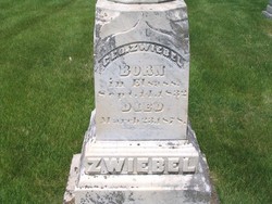
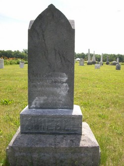
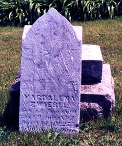
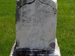
George William Zwiebel
| Birth | : | 13 Sep 1832 Rothbach, Departement du Bas-Rhin, Alsace, France |
| Death | : | 19 Feb 1878 Papillion, Sarpy County, Nebraska, USA |
| Burial | : | Grove Hill Cemetery, Lisbon, Grafton County, USA |
| Coordinate | : | 44.2108002, -71.9094009 |
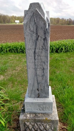
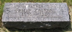
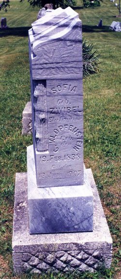
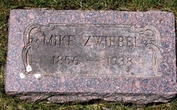
| Description | : | George William Zwiebel The first of four sons, George William Zwiebel was born on the 13th of September 1832 in Rothbach to Johann Michael and Magdalena. George grew to manhood living with the family in Auglaize County until 1854 when he married Sophia Elsass from the same area. Six months after the birth of their first son, Michael, in April of 1856, the couple left Ohio and headed for a new frontier in Nebraska. Traveling by train to St. Louis and then up the Missouri River by steamboat, the couple landed in a small trading post... Read More |
frequently asked questions (FAQ):
-
Where is George William Zwiebel's memorial?
George William Zwiebel's memorial is located at: Grove Hill Cemetery, Lisbon, Grafton County, USA.
-
When did George William Zwiebel death?
George William Zwiebel death on 19 Feb 1878 in Papillion, Sarpy County, Nebraska, USA
-
Where are the coordinates of the George William Zwiebel's memorial?
Latitude: 44.2108002
Longitude: -71.9094009
Family Members:
Parent
Spouse
Siblings
Children
Flowers:
Nearby Cemetories:
1. Grove Hill Cemetery
Lisbon, Grafton County, USA
Coordinate: 44.2108002, -71.9094009
2. Salmon Hole Cemetery
Lisbon, Grafton County, USA
Coordinate: 44.2359600, -71.8848200
3. Pettyboro District Cemetery
Pettyboro, Grafton County, USA
Coordinate: 44.2038310, -71.9620880
4. Landaff Center Cemetery
Landaff, Grafton County, USA
Coordinate: 44.1739860, -71.8847040
5. Parker Hill Cemetery
Lyman, Grafton County, USA
Coordinate: 44.2582400, -71.9458800
6. Bath Village Cemetery
Bath, Grafton County, USA
Coordinate: 44.1693500, -71.9617800
7. Pond Cemetery
Lyman, Grafton County, USA
Coordinate: 44.2671800, -71.9093700
8. Center Cemetery
Lyman, Grafton County, USA
Coordinate: 44.2672200, -71.9381400
9. Noyes Cemetery
Landaff, Grafton County, USA
Coordinate: 44.1830560, -71.8286110
10. Moulton Hill Cemetery
Lyman, Grafton County, USA
Coordinate: 44.2457400, -71.9862900
11. West Bath Cemetery
Bath, Grafton County, USA
Coordinate: 44.1750930, -71.9865080
12. Upper Smith Road Cemetery
Bath, Grafton County, USA
Coordinate: 44.2202780, -72.0075000
13. Sunnyside Cemetery
Sugar Hill, Grafton County, USA
Coordinate: 44.2130300, -71.8061600
14. Swiftwater Cemetery
Bath, Grafton County, USA
Coordinate: 44.1303400, -71.9574300
15. Bedel Cemetery
Bath, Grafton County, USA
Coordinate: 44.2075000, -72.0455560
16. Carbee District Cemetery
Bath, Grafton County, USA
Coordinate: 44.1881040, -72.0521310
17. Carbee Cemetery
Bath, Grafton County, USA
Coordinate: 44.1724640, -72.0466980
18. Monroe Village Cemetery
Monroe, Grafton County, USA
Coordinate: 44.2558400, -72.0427900
19. Pine Grove Cemetery
Woodsville, Grafton County, USA
Coordinate: 44.1380997, -72.0188980
20. Saint Joseph Cemetery
Bath, Grafton County, USA
Coordinate: 44.1803017, -72.0524979
21. West Cemetery
Benton, Grafton County, USA
Coordinate: 44.1033700, -71.9014000
22. Willow Cemetery
Franconia, Grafton County, USA
Coordinate: 44.1968994, -71.7530975
23. East Cemetery
Benton, Grafton County, USA
Coordinate: 44.0985985, -71.8846970
24. North Monroe Cemetery
Monroe, Grafton County, USA
Coordinate: 44.3067680, -71.9998780

