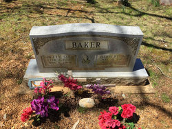
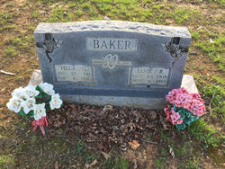
Herbert Aron Baker
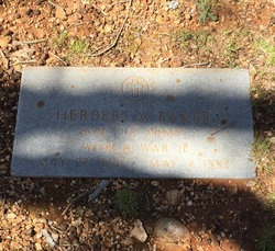
| Birth | : | 23 May 1915 Ripley County, Missouri, USA |
| Death | : | 4 May 1982 Poplar Bluff, Butler County, Missouri, USA |
| Burial | : | Johnston Chapel Cemetery, Union Township, Ripley County, USA |
| Coordinate | : | 36.5338100, -91.0053100 |
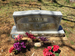
| Inscription | : | CPL US ARMY WORLD WAR I |
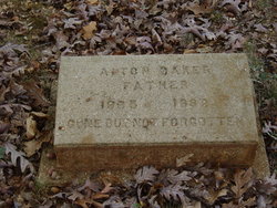
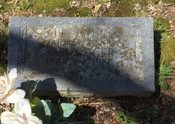
| Description | : | Husband of Betty Sue Hensley. Son of Alton Baker Martha Cox Source: Contributor#47089728 |
frequently asked questions (FAQ):
-
Where is Herbert Aron Baker's memorial?
Herbert Aron Baker's memorial is located at: Johnston Chapel Cemetery, Union Township, Ripley County, USA.
-
When did Herbert Aron Baker death?
Herbert Aron Baker death on 4 May 1982 in Poplar Bluff, Butler County, Missouri, USA
-
Where are the coordinates of the Herbert Aron Baker's memorial?
Latitude: 36.5338100
Longitude: -91.0053100
Family Members:
Parent
Spouse
Siblings
Flowers:
Nearby Cemetories:
1. Johnston Chapel Cemetery
Union Township, Ripley County, USA
Coordinate: 36.5338100, -91.0053100
2. Union Grove Cemetery
Ripley County, USA
Coordinate: 36.5597000, -90.9981003
3. Dalton Cemetery
Ripley County, USA
Coordinate: 36.5003014, -90.9772034
4. Old Dalton Family Cemetery
Ponder, Ripley County, USA
Coordinate: 36.5568780, -90.9547810
5. Patterson Cemetery
Ripley County, USA
Coordinate: 36.5242004, -90.9464035
6. Sugar Tree Grove Cemetery
Ripley County, USA
Coordinate: 36.5253640, -90.9451680
7. Old Ponder Cemetery
Ripley County, USA
Coordinate: 36.5830994, -90.9871979
8. Ponder Catholic Cemetery
Ponder, Ripley County, USA
Coordinate: 36.5814100, -90.9793800
9. Ponder Cemetery
Doniphan, Ripley County, USA
Coordinate: 36.5814018, -90.9792023
10. Tucker Cemetery
Tucker (Gatewood), Ripley County, USA
Coordinate: 36.5426417, -91.0757139
11. Warm Springs Cemetery
Warm Springs, Randolph County, USA
Coordinate: 36.4813995, -91.0457993
12. Burr Cemetery
Randolph County, USA
Coordinate: 36.4667015, -91.0152969
13. Whittenberg Cemetery
Warm Springs, Randolph County, USA
Coordinate: 36.4682999, -91.0282974
14. Plunk Cemetery
Ripley County, USA
Coordinate: 36.5649986, -90.9269028
15. Poynor Cemetery
Poynor, Ripley County, USA
Coordinate: 36.5261220, -90.9159990
16. Murrell Cemetery
Ripley County, USA
Coordinate: 36.5036011, -90.9235992
17. Pratt Cemetery
Randolph County, USA
Coordinate: 36.4543991, -91.0010986
18. Gatewood Cemetery
Gatewood, Ripley County, USA
Coordinate: 36.5751600, -91.0900900
19. Brakebill Cemetery
Maynard, Randolph County, USA
Coordinate: 36.4590820, -90.9602290
20. Kennon Cemetery
Ripley County, USA
Coordinate: 36.6082993, -90.9593964
21. Macedonia Cemetery
Warm Springs, Randolph County, USA
Coordinate: 36.4707985, -91.0742035
22. New Home Cemetery
Tucker (Gatewood), Ripley County, USA
Coordinate: 36.5112100, -91.1089800
23. Little Cemetery
Ripley County, USA
Coordinate: 36.6225014, -90.9860992
24. Palestine Cemetery
Warm Springs, Randolph County, USA
Coordinate: 36.4322014, -91.0056000

