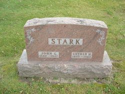
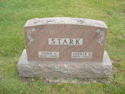
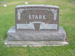
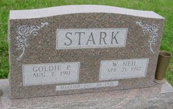
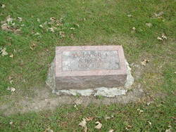
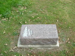
John Leslie Stark
| Birth | : | 14 Oct 1880 Decatur County, Iowa, USA |
| Death | : | 3 Nov 1947 Grand River, Decatur County, Iowa, USA |
| Burial | : | Salem Cemetery, Clay County, USA |
| Coordinate | : | 29.9071999, -81.8056030 |
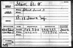
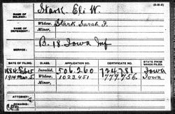
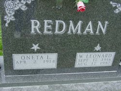
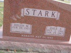
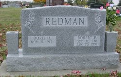
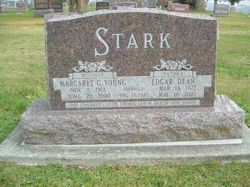
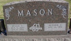
| Description | : | Son of Eli W. Stark and Sarah Frances Wilson. He married Esther Merle Cole. They had 17 children. [See page for Esther.] They were Vernon "Noel" Stark, Wilbert "Neil" Stark, Oneta Lorene Stark, Roland LeRoy Stark, Dale Eugene Stark, Doris Hazel Stark, Gladys "Ruth" Stark, Ruby Alice Stark, Edgar Dean "Ted" Stark, Bessie Irene Stark, Martha Eleanor Stark, Frances "Ellen" Stark, Clifford Duane Stark, Donald Dwight "Sandy" Stark, Marjorie Jean Stark, Velma "Joann" Stark and Merlyn Leslie Stark. |
frequently asked questions (FAQ):
-
Where is John Leslie Stark's memorial?
John Leslie Stark's memorial is located at: Salem Cemetery, Clay County, USA.
-
When did John Leslie Stark death?
John Leslie Stark death on 3 Nov 1947 in Grand River, Decatur County, Iowa, USA
-
Where are the coordinates of the John Leslie Stark's memorial?
Latitude: 29.9071999
Longitude: -81.8056030
Family Members:
Parent
Spouse
Children
Flowers:
Nearby Cemetories:
1. Salem Cemetery
Clay County, USA
Coordinate: 29.9071999, -81.8056030
2. Springbank Cemetery
Clay County, USA
Coordinate: 29.9543991, -81.7371979
3. Evergreen Cemetery
Belmore, Clay County, USA
Coordinate: 29.8994045, -81.8950958
4. Penney Memorial Cemetery
Penney Farms, Clay County, USA
Coordinate: 29.9838430, -81.7847050
5. Black Creek Baptist Church Cemetery
Penney Farms, Clay County, USA
Coordinate: 29.9823590, -81.8441100
6. Beulah Missionary Baptist Church Cemetery
Green Cove Springs, Clay County, USA
Coordinate: 29.9427376, -81.8963776
7. Beulah Cemetery
Kingsley, Clay County, USA
Coordinate: 29.9421997, -81.9186020
8. Little Ruth Cemetery
Clay County, USA
Coordinate: 29.9277992, -81.6819000
9. Shiloh Baptist Church Cemetery
Green Cove Springs, Clay County, USA
Coordinate: 29.9239941, -81.6804276
10. Union Grove Cemetery
Putnam County, USA
Coordinate: 29.7963639, -81.7954472
11. Old Hickory Grove Cemetery
Green Cove Springs, Clay County, USA
Coordinate: 29.9843426, -81.7016983
12. Hickory Grove Cemetery
Green Cove Springs, Clay County, USA
Coordinate: 29.9848003, -81.7014999
13. Mount Olive Cemetery
Green Cove Springs, Clay County, USA
Coordinate: 29.9939003, -81.7005997
14. German POW Camp Cemetery
Clay County, USA
Coordinate: 29.9410900, -81.9472530
15. Providence Baptist Church Cemetery
Bardin, Putnam County, USA
Coordinate: 29.7810660, -81.7810250
16. Gadara Cemetery
Keystone Heights, Clay County, USA
Coordinate: 29.8085995, -81.9175034
17. Magnolia Springs Cemetery
Green Cove Springs, Clay County, USA
Coordinate: 30.0104330, -81.6952800
18. Mount Heburn Cemetery
Putnam County, USA
Coordinate: 29.7752991, -81.8636017
19. Decoy Baptist Church Cemetery
Green Cove Springs, Clay County, USA
Coordinate: 29.8524657, -81.6533862
20. Old Conway Cemetery
Middleburg, Clay County, USA
Coordinate: 29.9827995, -81.9499969
21. Fowler Cemetery
Middleburg, Clay County, USA
Coordinate: 30.0286007, -81.9005966
22. Russell Haven of Rest Cemetery
Green Cove Springs, Clay County, USA
Coordinate: 30.0491840, -81.7624210
23. John James Conway Cemetery
Kingsley, Clay County, USA
Coordinate: 29.9847083, -81.9499893
24. Oak Grove Baptist Church Cemetery
Middleburg, Clay County, USA
Coordinate: 30.0117702, -81.9307556

