


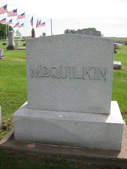
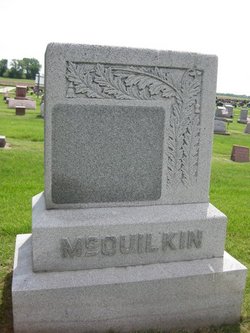
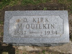
John Newton McQuilkin
| Birth | : | 28 Nov 1854 Westmoreland City, Westmoreland County, Pennsylvania, USA |
| Death | : | 30 Sep 1925 La Porte City, Black Hawk County, Iowa, USA |
| Burial | : | Westview Cemetery, La Porte City, Black Hawk County, USA |
| Coordinate | : | 42.3107986, -92.1699982 |
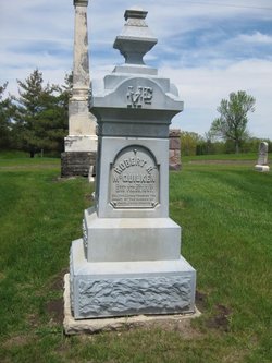
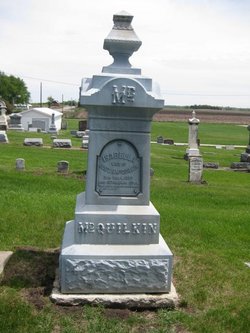
| Description | : | John Newton McQuilkin, son of Robert R. and Isabella Wylie McQuilkin, married Mary Ann Brown, daughter of Horner and Ann Jane Marshall Brown on December 27, 1877 in LaPorte City, Black Hawk, Iowa, USA. They were no children born of this union. Mary Ann was a teacher before her marriage. John was a farmer and Mary enjoyed keeping house and was very active in the local charity clubs. Contributed by #47693893 |
frequently asked questions (FAQ):
-
Where is John Newton McQuilkin's memorial?
John Newton McQuilkin's memorial is located at: Westview Cemetery, La Porte City, Black Hawk County, USA.
-
When did John Newton McQuilkin death?
John Newton McQuilkin death on 30 Sep 1925 in La Porte City, Black Hawk County, Iowa, USA
-
Where are the coordinates of the John Newton McQuilkin's memorial?
Latitude: 42.3107986
Longitude: -92.1699982
Family Members:
Parent
Spouse
Siblings
Flowers:


Nearby Cemetories:
1. Westview Cemetery
La Porte City, Black Hawk County, USA
Coordinate: 42.3107986, -92.1699982
2. Sawyer Cemetery
La Porte City, Black Hawk County, USA
Coordinate: 42.3381004, -92.1519012
3. Engledow Cemetery
Mount Auburn, Benton County, USA
Coordinate: 42.2686996, -92.1330032
4. Anton Cemetery
La Porte City, Black Hawk County, USA
Coordinate: 42.3418999, -92.2399979
5. Mount Auburn Cemetery
Mount Auburn, Benton County, USA
Coordinate: 42.2536800, -92.0903000
6. Spring Creek Chapel Cemetery
La Porte City, Black Hawk County, USA
Coordinate: 42.3616982, -92.0783005
7. Zion Lutheran Jubilee Cemetery
Jubilee, Black Hawk County, USA
Coordinate: 42.3843050, -92.0837440
8. Greenwalt Cemetery
Mount Auburn, Benton County, USA
Coordinate: 42.2256012, -92.1038971
9. Fairview Cemetery
Benton County, USA
Coordinate: 42.2141991, -92.2007980
10. Pratt Creek Cemetery
Vinton, Benton County, USA
Coordinate: 42.2104000, -92.1307400
11. Sancta Maria Cemetery
Gilbertville, Black Hawk County, USA
Coordinate: 42.4132560, -92.2060940
12. Shady Grove Cemetery
Jesup, Buchanan County, USA
Coordinate: 42.3805453, -92.0557342
13. Saint Mary's Cemetery
Gilbertville, Black Hawk County, USA
Coordinate: 42.4188300, -92.2181200
14. Hill Cemetery
Tama County, USA
Coordinate: 42.2542000, -92.3075027
15. Saint Marys of Mount Carmel Cemetery
Waterloo, Black Hawk County, USA
Coordinate: 42.3418000, -92.3280000
16. Brown Bruce Township Cemetery
Benton County, USA
Coordinate: 42.2163430, -92.2799680
17. Washburn Cemetery
Washburn, Black Hawk County, USA
Coordinate: 42.4139200, -92.2711700
18. Brandon Cemetery
Brandon, Buchanan County, USA
Coordinate: 42.3156300, -91.9945200
19. Jefferson Township Cemetery
Brandon, Buchanan County, USA
Coordinate: 42.3139000, -91.9931030
20. Beachler Cemetery
Brandon, Buchanan County, USA
Coordinate: 42.3045000, -91.9908000
21. Spencer Cemetery
Dysart, Tama County, USA
Coordinate: 42.2592120, -92.3353840
22. Eagle Township Cemetery
Black Hawk County, USA
Coordinate: 42.3410988, -92.3525009
23. Geneseo Cemetery
Buckingham, Tama County, USA
Coordinate: 42.2764370, -92.3523950
24. Carlisle Grove Cemetery
Garrison, Benton County, USA
Coordinate: 42.1730995, -92.1386032