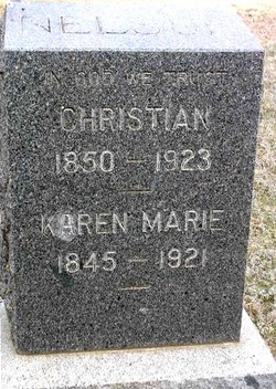
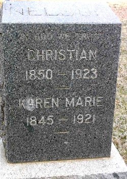
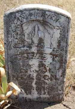
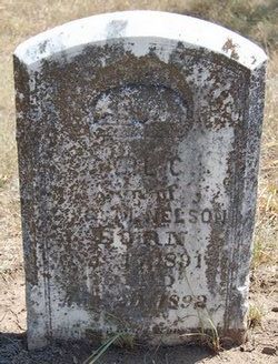
Karen Marie “Carrie” Anderson Nelson
| Birth | : | 16 Nov 1845 Jelstrup, Hjørring Kommune, Nordjylland, Denmark |
| Death | : | 22 May 1921 Tescott, Ottawa County, Kansas, USA |
| Burial | : | Walnut Grove Cemetery, Brownville, Nemaha County, USA |
| Coordinate | : | 40.4023056, -95.6642990 |
frequently asked questions (FAQ):
-
Where is Karen Marie “Carrie” Anderson Nelson's memorial?
Karen Marie “Carrie” Anderson Nelson's memorial is located at: Walnut Grove Cemetery, Brownville, Nemaha County, USA.
-
When did Karen Marie “Carrie” Anderson Nelson death?
Karen Marie “Carrie” Anderson Nelson death on 22 May 1921 in Tescott, Ottawa County, Kansas, USA
-
Where are the coordinates of the Karen Marie “Carrie” Anderson Nelson's memorial?
Latitude: 40.4023056
Longitude: -95.6642990
Family Members:
Spouse
Children
Flowers:
Nearby Cemetories:
1. Walnut Grove Cemetery
Brownville, Nemaha County, USA
Coordinate: 40.4023056, -95.6642990
2. Honey Creek Cemetery
Nemaha Township, Nemaha County, USA
Coordinate: 40.4430199, -95.6980820
3. Nemaha Cemetery
Nemaha, Nemaha County, USA
Coordinate: 40.3469009, -95.6596985
4. Sonora Cemetery
Watson, Atchison County, USA
Coordinate: 40.4730988, -95.6521988
5. London Cemetery
Peru, Nemaha County, USA
Coordinate: 40.4225006, -95.7621994
6. Millsap Cemetery
Rock Port, Atchison County, USA
Coordinate: 40.4150009, -95.5532990
7. Mount Vernon Cemetery
Peru, Nemaha County, USA
Coordinate: 40.4768982, -95.7208023
8. Lansdown family burial site
Rock Port, Atchison County, USA
Coordinate: 40.4154319, -95.5522575
9. Addington Cemetery
Watson, Atchison County, USA
Coordinate: 40.4721985, -95.5828018
10. Elmwood Cemetery
Rock Port, Atchison County, USA
Coordinate: 40.4062740, -95.5206080
11. Kite Cemetery
Nemaha County, USA
Coordinate: 40.3414001, -95.7842026
12. Kinser Burial Site
Watson, Atchison County, USA
Coordinate: 40.4974350, -95.5908610
13. County Home Cemetery
Rock Port, Atchison County, USA
Coordinate: 40.4180310, -95.5163740
14. Hunter Cemetery
Rock Port, Atchison County, USA
Coordinate: 40.3636017, -95.5216980
15. Greenhill Cemetery
Rock Port, Atchison County, USA
Coordinate: 40.4143982, -95.5074997
16. Karn Cemetery
Glenrock, Nemaha County, USA
Coordinate: 40.4789000, -95.7917000
17. Hillsdale Cemetery
Nemaha County, USA
Coordinate: 40.2882996, -95.6010971
18. Highland Methodist Cemetery
Nemaha County, USA
Coordinate: 40.4581850, -95.8097140
19. Linden Cemetery
Watson, Atchison County, USA
Coordinate: 40.4856130, -95.5383220
20. Smith Cemetery
Rock Port, Atchison County, USA
Coordinate: 40.4375000, -95.5028000
21. Klaus Burial Site
Watson, Atchison County, USA
Coordinate: 40.4917400, -95.5440620
22. High Creek Cemetery
Rock Port, Atchison County, USA
Coordinate: 40.5086780, -95.5690380
23. Highland Baptist Cemetery
Auburn, Nemaha County, USA
Coordinate: 40.4578018, -95.8191986
24. Stoner Cemetery
Atchison County, USA
Coordinate: 40.5127983, -95.5618973

