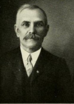
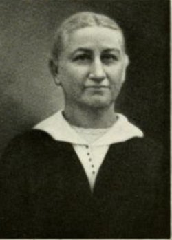
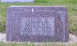
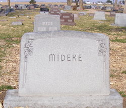
Lela Pearl Mideke Spencer
| Birth | : | 2 Feb 1898 Marquette, Hamilton County, Nebraska, USA |
| Death | : | 2 May 1982 Aurora, Hamilton County, Nebraska, USA |
| Burial | : | Rose Hill Cemetery, Rifle, Garfield County, USA |
| Coordinate | : | 39.5381012, -107.7742004 |
| Description | : | Lela P. Spencer, the daughter of Charles and Emma (Gothe) Mideke, was born at Marquette, Nebraska, on February 2, 1898, and passed away at Aurora, Nebraska, on May 2, 1982, at the age of 84 years and 3 months. Her entire lifetime had been spent in Hamilton County and she attended school in Marquette. She has lived at the Hamilton Manor for the past 6 years. On June 26, 1924, she was united in marriage to Albert Spencer at Denver, Colorado. He preceded her in death on March 2, 1979. She was a member of the United... Read More |
frequently asked questions (FAQ):
-
Where is Lela Pearl Mideke Spencer's memorial?
Lela Pearl Mideke Spencer's memorial is located at: Rose Hill Cemetery, Rifle, Garfield County, USA.
-
When did Lela Pearl Mideke Spencer death?
Lela Pearl Mideke Spencer death on 2 May 1982 in Aurora, Hamilton County, Nebraska, USA
-
Where are the coordinates of the Lela Pearl Mideke Spencer's memorial?
Latitude: 39.5381012
Longitude: -107.7742004
Family Members:
Parent
Spouse
Siblings
Children
Flowers:
Nearby Cemetories:
1. Rose Hill Cemetery
Rifle, Garfield County, USA
Coordinate: 39.5381012, -107.7742004
2. Skyline Cemetery
Silt, Garfield County, USA
Coordinate: 39.5520060, -107.6575300
3. Rulison Cemetery
Rulison, Garfield County, USA
Coordinate: 39.4768000, -107.9357000
4. Union Divide Creek Cemetery
Silt, Garfield County, USA
Coordinate: 39.4508018, -107.6200027
5. Highland Cemetery
New Castle, Garfield County, USA
Coordinate: 39.5875015, -107.5192032
6. Battlement Cemetery
Parachute, Garfield County, USA
Coordinate: 39.4380989, -108.0291977
7. Russey-Hurlburt Cemetery
Parachute, Garfield County, USA
Coordinate: 39.4522018, -108.0575027
8. Blackman Ranch Cemetery
Collbran, Mesa County, USA
Coordinate: 39.2647420, -107.8554350
9. Clover Cemetery
Collbran, Mesa County, USA
Coordinate: 39.2550011, -107.9227982
10. Cedar Crest Cemetery
Collbran, Mesa County, USA
Coordinate: 39.2369003, -107.9589005
11. Farnum Holt Columbarium
Glenwood Springs, Garfield County, USA
Coordinate: 39.5469640, -107.3299900
12. Pioneer Cemetery
Glenwood Springs, Garfield County, USA
Coordinate: 39.5392000, -107.3192000
13. Rosebud Cemetery
Glenwood Springs, Garfield County, USA
Coordinate: 39.5168991, -107.3189011
14. Eagalite Cemetery
Plateau City, Mesa County, USA
Coordinate: 39.2228012, -107.9894028
15. DeBeque Cemetery
Mesa County, USA
Coordinate: 39.3374060, -108.2138900
16. Marion Cemetery
Garfield County, USA
Coordinate: 39.3689003, -107.3047028
17. Molina Cemetery
Molina, Mesa County, USA
Coordinate: 39.1886000, -108.0629000
18. Evergreen Cemetery
Carbondale, Garfield County, USA
Coordinate: 39.4077988, -107.2155991
19. Fisher Cemetery
Carbondale, Garfield County, USA
Coordinate: 39.4791985, -107.1911011
20. Mesa Cemetery
Mesa, Mesa County, USA
Coordinate: 39.1685982, -108.1188965
21. Hillcrest Cemetery
Carbondale, Garfield County, USA
Coordinate: 39.3922005, -107.1936035
22. Highland Cemetery
Meeker, Rio Blanco County, USA
Coordinate: 40.0311012, -107.9111023
23. Camp on White River Cemetery
Meeker, Rio Blanco County, USA
Coordinate: 40.0380100, -107.9131000
24. Black Sulphur Cemetery
Meeker, Rio Blanco County, USA
Coordinate: 39.8600800, -108.3109500


