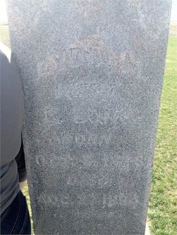
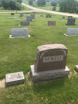
Lydia Marie Lease Long
| Birth | : | 8 Oct 1824 Hampshire County, West Virginia, USA |
| Death | : | 27 Aug 1894 Winfield, Henry County, Iowa, USA |
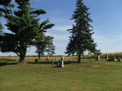
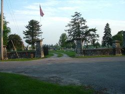
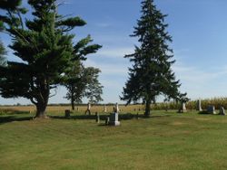
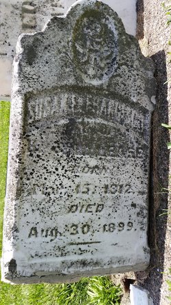
| Burial | : | Crown Hill Cemetery, Powell, Park County, USA |
| Coordinate | : | 44.7534310, -108.7131390 |
| Description | : | Married 03/24/1842 Cumberland Allegany Co MD |
frequently asked questions (FAQ):
-
Where is Lydia Marie Lease Long's memorial?
Lydia Marie Lease Long's memorial is located at: Crown Hill Cemetery, Powell, Park County, USA.
-
When did Lydia Marie Lease Long death?
Lydia Marie Lease Long death on 27 Aug 1894 in Winfield, Henry County, Iowa, USA
-
Where are the coordinates of the Lydia Marie Lease Long's memorial?
Latitude: 44.7534310
Longitude: -108.7131390
Family Members:
Parent
Spouse
Siblings
Children
Flowers:
Nearby Cemetories:
1. Crown Hill Cemetery
Powell, Park County, USA
Coordinate: 44.7534310, -108.7131390
2. Garland Cemetery
Garland, Park County, USA
Coordinate: 44.7853000, -108.6533000
3. Penrose Cemetery
Byron, Big Horn County, USA
Coordinate: 44.7324982, -108.5849991
4. Byron Cemetery
Byron, Big Horn County, USA
Coordinate: 44.8185997, -108.5093994
5. Deaver Cemetery
Deaver, Big Horn County, USA
Coordinate: 44.8911018, -108.5727997
6. Mexican Cemetery
Lovell, Big Horn County, USA
Coordinate: 44.8435700, -108.4442200
7. Foster Gulch Cemetery
Lovell, Big Horn County, USA
Coordinate: 44.8033436, -108.4215583
8. Cowley Cemetery
Cowley, Big Horn County, USA
Coordinate: 44.8767014, -108.4531021
9. Lovell Cemetery
Lovell, Big Horn County, USA
Coordinate: 44.8097000, -108.3878021
10. Lutheran Cemetery
Big Horn County, USA
Coordinate: 44.8352300, -108.3519300
11. Sand Draw Cemetery
Lovell, Big Horn County, USA
Coordinate: 44.8392000, -108.3525100
12. Riverside-Graham Cemetery
Cody, Park County, USA
Coordinate: 44.5415000, -109.0227900
13. Christ Episcopal Church Memorial Garden
Cody, Park County, USA
Coordinate: 44.5204000, -109.0716000
14. Riverside Cemetery
Cody, Park County, USA
Coordinate: 44.5189018, -109.0836029
15. Emblem Cemetery
Emblem, Big Horn County, USA
Coordinate: 44.4841995, -108.3897018
16. Bennett Buttes Cemetery
Clark, Park County, USA
Coordinate: 44.9011340, -109.1688040
17. Trail Creek Ranch Cemetery
Cody, Park County, USA
Coordinate: 44.5354900, -109.1115500
18. Burlington Cemetery
Burlington, Big Horn County, USA
Coordinate: 44.4608002, -108.4199982
19. Old Trail Town Cemetery
Cody, Park County, USA
Coordinate: 44.5154100, -109.1051700
20. Tillet Ranch Cemetery
Carbon County, USA
Coordinate: 45.0388422, -108.3876200
21. Iona-Kane Cemetery
Kane, Big Horn County, USA
Coordinate: 44.8842010, -108.2089005
22. Chance Mountain View Cemetery
Chance, Carbon County, USA
Coordinate: 45.0447006, -109.0856018
23. Bowler Cemetery
Bowler, Carbon County, USA
Coordinate: 45.1492004, -108.7018967
24. Belfry Cemetery
Belfry, Carbon County, USA
Coordinate: 45.1200570, -109.0106020

