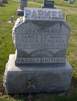
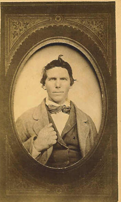
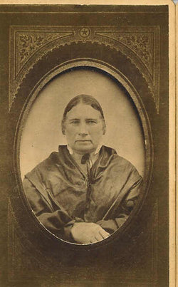
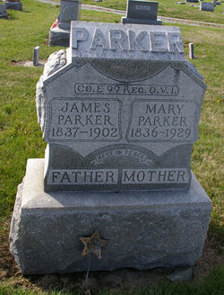
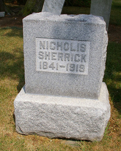
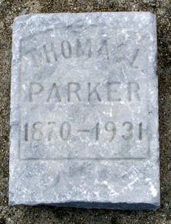
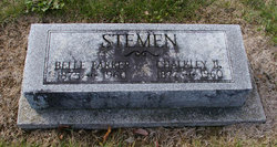
Mary Sherrick Parker
| Birth | : | 8 Feb 1836 Fairfield County, Ohio, USA |
| Death | : | 9 Aug 1929 Putnam County, Ohio, USA |
| Burial | : | Crouch Cemetery, Mill Creek, Randolph County, USA |
| Coordinate | : | 38.7518997, -79.9571991 |
frequently asked questions (FAQ):
-
Where is Mary Sherrick Parker's memorial?
Mary Sherrick Parker's memorial is located at: Crouch Cemetery, Mill Creek, Randolph County, USA.
-
When did Mary Sherrick Parker death?
Mary Sherrick Parker death on 9 Aug 1929 in Putnam County, Ohio, USA
-
Where are the coordinates of the Mary Sherrick Parker's memorial?
Latitude: 38.7518997
Longitude: -79.9571991
Family Members:
Parent
Spouse
Siblings
Children
Flowers:
Nearby Cemetories:
1. Crouch Cemetery
Mill Creek, Randolph County, USA
Coordinate: 38.7518997, -79.9571991
2. Jerusalem Cemetery
Mill Creek, Randolph County, USA
Coordinate: 38.7460800, -79.9879600
3. Mill Creek Cemetery
Mill Creek, Randolph County, USA
Coordinate: 38.7282100, -79.9701300
4. Watson Cemetery
Mill Creek, Randolph County, USA
Coordinate: 38.7876290, -79.9578120
5. Shifflett Cemetery
Huttonsville, Randolph County, USA
Coordinate: 38.7127800, -79.9791718
6. Greenwood-Valley Bend Cemetery
East Dailey, Randolph County, USA
Coordinate: 38.7713200, -79.9009800
7. Fincham Chapel Cemetery
Adolph, Randolph County, USA
Coordinate: 38.7647370, -80.0307140
8. Fortney Cemetery
Adolph, Randolph County, USA
Coordinate: 38.7622700, -80.0371200
9. Old Brick Church Cemetery
Huttonsville, Randolph County, USA
Coordinate: 38.6877880, -79.9820140
10. Armstrong Cemetery
Randolph County, USA
Coordinate: 38.7916500, -79.8841070
11. Belle-Kelley Cemetery
Randolph County, USA
Coordinate: 38.6698390, -79.9967550
12. Old Stalnaker Family Cemetery
Randolph County, USA
Coordinate: 38.8143083, -79.8767627
13. Trinity Cemetery
Beverly, Randolph County, USA
Coordinate: 38.8329440, -79.8920230
14. John M Stalnaker Cemetery
Beverly, Randolph County, USA
Coordinate: 38.8245470, -79.8731770
15. Mount Vernon Cemetery
Randolph County, USA
Coordinate: 38.8213300, -79.8482900
16. Blue Rock Cemetery
Blue Rock, Randolph County, USA
Coordinate: 38.7256850, -80.0951940
17. Butcher Family Cemetery
Beverly, Randolph County, USA
Coordinate: 38.8419500, -79.8672600
18. Beverly Cemetery
Beverly, Randolph County, USA
Coordinate: 38.8455200, -79.8726807
19. Mount Iser Confederate Cemetery
Beverly, Randolph County, USA
Coordinate: 38.8444500, -79.8666600
20. Thomas Phillips Farm Cemetery
Beverly, Randolph County, USA
Coordinate: 38.8543472, -79.8824921
21. Rowan Memorial Cemetery
Mabie, Randolph County, USA
Coordinate: 38.8717260, -79.9741620
22. Hamilton Cemetery
Elkwater, Randolph County, USA
Coordinate: 38.6336610, -80.0226450
23. Park Cemetery
Beverly, Randolph County, USA
Coordinate: 38.8407560, -79.8369520
24. Simmons Cemetery
Tallmansville, Upshur County, USA
Coordinate: 38.8142014, -80.1069031

