


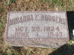
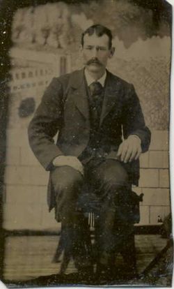
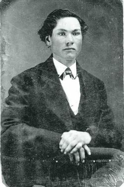
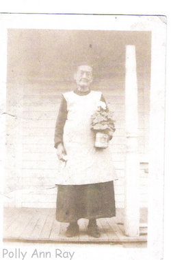
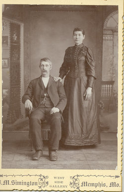
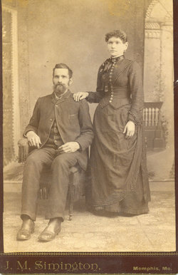
Miranda Ellen Ray Rodgers
| Birth | : | 25 Oct 1864 Scotland County, Missouri, USA |
| Death | : | 1 Jun 1947 Memphis, Scotland County, Missouri, USA |
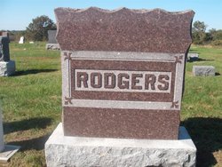
| Burial | : | Deerwood Cemetery, Deerwood Township, Crow Wing County, USA |
| Coordinate | : | 46.4566994, -93.8839035 |
frequently asked questions (FAQ):
-
Where is Miranda Ellen Ray Rodgers's memorial?
Miranda Ellen Ray Rodgers's memorial is located at: Deerwood Cemetery, Deerwood Township, Crow Wing County, USA.
-
When did Miranda Ellen Ray Rodgers death?
Miranda Ellen Ray Rodgers death on 1 Jun 1947 in Memphis, Scotland County, Missouri, USA
-
Where are the coordinates of the Miranda Ellen Ray Rodgers's memorial?
Latitude: 46.4566994
Longitude: -93.8839035
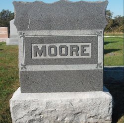
Family Members:
Parent
Spouse
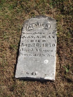
Siblings

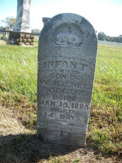
Children

Flowers:


Nearby Cemetories:
1. Deerwood Cemetery
Deerwood Township, Crow Wing County, USA
Coordinate: 46.4566994, -93.8839035
2. Salem Lutheran Columbarium
Deerwood, Crow Wing County, USA
Coordinate: 46.4750050, -93.9011460
3. Lakewood Cemetery
Crosby, Crow Wing County, USA
Coordinate: 46.4625015, -93.9456024
4. Bay Lake Cemetery
Deerwood, Crow Wing County, USA
Coordinate: 46.4138000, -93.8730000
5. Immanuel Cemetery
Crow Wing County, USA
Coordinate: 46.5161018, -93.8392029
6. Woodland Cemetery
Ironton, Crow Wing County, USA
Coordinate: 46.4599991, -93.9880981
7. Dorris Cemetery
Aitkin County, USA
Coordinate: 46.4611092, -93.7766724
8. Saint Johns Lutheran Cemetery
Aitkin County, USA
Coordinate: 46.5406200, -93.8213700
9. Saint Johns Lutheran Cemetery
Crow Wing County, USA
Coordinate: 46.5409800, -93.8215300
10. Bennettville Cemetery
Bennettville, Aitkin County, USA
Coordinate: 46.4025002, -93.7703018
11. Lakeview Cemetery
Aitkin, Aitkin County, USA
Coordinate: 46.5228004, -93.7358017
12. Saint Thomas Cemetery
Aitkin, Aitkin County, USA
Coordinate: 46.5233002, -93.7322006
13. Oak Grove Cemetery
Brainerd, Crow Wing County, USA
Coordinate: 46.3485985, -93.9856033
14. Diamond Lake Cemetery
Aitkin County, USA
Coordinate: 46.4608002, -93.6915970
15. Crosslake Lutheran Church Columbarium
Crosslake, Crow Wing County, USA
Coordinate: 46.4048300, -94.0650900
16. Carroll Cemetery
Crow Wing County, USA
Coordinate: 46.5850000, -93.8166670
17. Pine Knoll Cemetery
Crosby, Crow Wing County, USA
Coordinate: 46.5897000, -93.7896900
18. Maple Grove Cemetery
Crow Wing County, USA
Coordinate: 46.3297005, -93.9993973
19. Mission Cemetery
Mission, Crow Wing County, USA
Coordinate: 46.5588989, -94.0511017
20. Garrison Cemetery
Garrison, Crow Wing County, USA
Coordinate: 46.3078000, -93.8264000
21. Evergreen Cemetery
Merrifield, Crow Wing County, USA
Coordinate: 46.5180500, -94.0917500
22. Evergreen Cemetery
Aitkin, Aitkin County, USA
Coordinate: 46.5280991, -93.6810989
23. Spencer Cemetery
Aitkin County, USA
Coordinate: 46.5228004, -93.6580963
24. Vaale Cemetery
Brainerd, Crow Wing County, USA
Coordinate: 46.3224800, -94.0493950