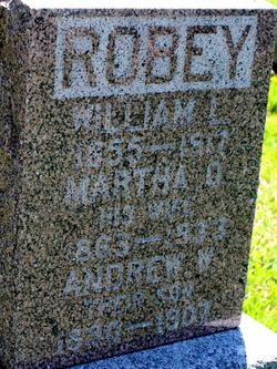
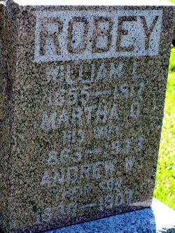
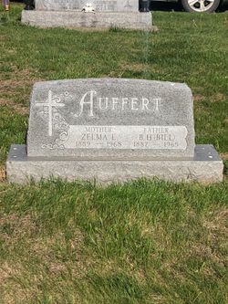
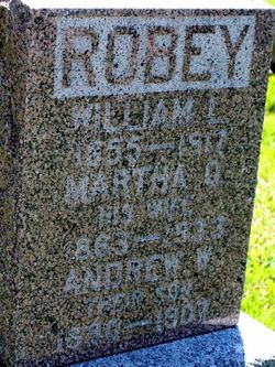
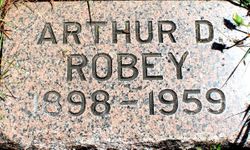
| Birth | : | 21 Mar 1887 Illinois, USA |
| Death | : | 4 Oct 1968 Oklahoma, USA |
| Burial | : | Greenwood Cemetery, Weatherford, Custer County, USA |
| Coordinate | : | 35.5355988, -98.7192001 |
| Plot | : | D |
frequently asked questions (FAQ):
-
Where is Oma Ellen Robey Lynch's memorial?
Oma Ellen Robey Lynch's memorial is located at: Greenwood Cemetery, Weatherford, Custer County, USA.
-
When did Oma Ellen Robey Lynch death?
Oma Ellen Robey Lynch death on 4 Oct 1968 in Oklahoma, USA
-
Where are the coordinates of the Oma Ellen Robey Lynch's memorial?
Latitude: 35.5355988
Longitude: -98.7192001
Family Members:
Parent
Spouse
Siblings
Children
Flowers:
Nearby Cemetories:
1. Greenwood Cemetery
Weatherford, Custer County, USA
Coordinate: 35.5355988, -98.7192001
2. Newton Cemetery
Custer County, USA
Coordinate: 35.5517700, -98.7647400
3. Rockwell Cemetery
Weatherford, Custer County, USA
Coordinate: 35.5806007, -98.6849976
4. Bethel Krimmer Mennonite Cemetery
Weatherford, Custer County, USA
Coordinate: 35.4782982, -98.7546997
5. Missouri Cemetery
Colony, Washita County, USA
Coordinate: 35.4641991, -98.7285995
6. South Cedar Cemetery
Custer County, USA
Coordinate: 35.4942017, -98.7994003
7. Zion German Congregational Church Cemetery
Corn, Washita County, USA
Coordinate: 35.4506454, -98.7648468
8. Bethany Cemetery
Colony, Washita County, USA
Coordinate: 35.4425011, -98.6755981
9. Plainview Cemetery
Colony, Washita County, USA
Coordinate: 35.4568939, -98.6394577
10. Summit Cemetery
Custer County, USA
Coordinate: 35.6016998, -98.8257980
11. High Point Cemetery
Colony, Washita County, USA
Coordinate: 35.4207993, -98.6774979
12. Holy Angeles Catholic Cemetery
Blaine County, USA
Coordinate: 35.5728912, -98.5791702
13. Hydro Masonic Cemetery
Hydro, Blaine County, USA
Coordinate: 35.5800018, -98.5774994
14. Pleasant View Mennonite Cemetery
Hydro, Blaine County, USA
Coordinate: 35.6385470, -98.6322180
15. Red Rock Cemetery
Clinton, Custer County, USA
Coordinate: 35.5380096, -98.8786774
16. Zion Cemetery
Custer County, USA
Coordinate: 35.6674995, -98.6769028
17. Mount Hope Cemetery
Custer City, Custer County, USA
Coordinate: 35.6088982, -98.8632965
18. Bergthal Cemetery
Corn, Washita County, USA
Coordinate: 35.4198303, -98.8172073
19. Chapel Hill Cemetery
Clinton, Custer County, USA
Coordinate: 35.4934400, -98.8852100
20. Korn Catholic Cemetery
Corn, Washita County, USA
Coordinate: 35.4061203, -98.8010788
21. Mound Olive Cemetery
Thomas, Custer County, USA
Coordinate: 35.6960983, -98.7208023
22. Redbird Wolf Chief Indian Gravesite
Corn, Washita County, USA
Coordinate: 35.4052811, -98.8435669
23. Mound Valley Cemetery
Caddo County, USA
Coordinate: 35.4933014, -98.5160980
24. Mennonite Brethren Cemetery
Corn, Washita County, USA
Coordinate: 35.3717003, -98.7825012

