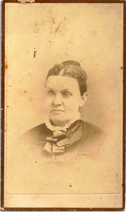
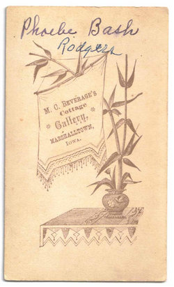
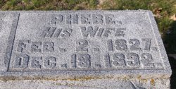
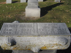
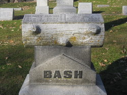
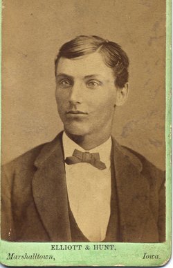
Phebe Rodgers Bash
| Birth | : | 2 Feb 1827 Mercer County, Pennsylvania, USA |
| Death | : | 18 Dec 1892 Marshall County, Iowa, USA |
| Burial | : | Burks Falls Cemetery, Burks Falls, Parry Sound District, Canada |
| Coordinate | : | 45.6009200, -79.3979400 |
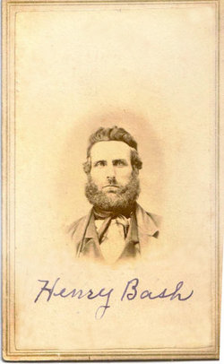
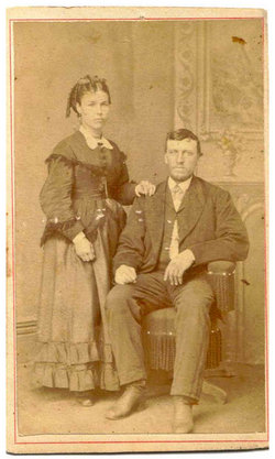
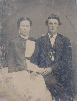
| Description | : | Phebe Rodgers married on October 14, 1847 in Mercer County, Pennsylvania, to Henry John Bash, son of Christian Bash & Elizabeth George. They had three children: Mary A.E., Lebbeus, and Sherman F. Bash. In 1855, the family migrated west in a covered wagon to central Iowa, where they settled on the prairie north of the village of Marshalltown in what is now Liscomb Township, Marshall County. Henry Bash's two-story, red brick farmhouse still stands east of what is now state highway #14. In early days, it served as a stagecoach stop. On May 26, 1877, Phebe was granted a divorce from Henry.... Read More |
frequently asked questions (FAQ):
-
Where is Phebe Rodgers Bash's memorial?
Phebe Rodgers Bash's memorial is located at: Burks Falls Cemetery, Burks Falls, Parry Sound District, Canada.
-
When did Phebe Rodgers Bash death?
Phebe Rodgers Bash death on 18 Dec 1892 in Marshall County, Iowa, USA
-
Where are the coordinates of the Phebe Rodgers Bash's memorial?
Latitude: 45.6009200
Longitude: -79.3979400
Family Members:
Spouse
Children
Flowers:
Nearby Cemetories:
1. Chetwynd Cemetery
Burks Falls, Parry Sound District, Canada
Coordinate: 45.6182050, -79.3371300
2. Royston Cemetery
Ryerson, Parry Sound District, Canada
Coordinate: 45.5632100, -79.4698000
3. St. Mark's Anglican Cemetery
Emsdale, Parry Sound District, Canada
Coordinate: 45.5245350, -79.3161830
4. St. Gerard Roman Catholic Cemetery
McMurrich, Parry Sound District, Canada
Coordinate: 45.5012900, -79.4152300
5. Midlothian Memorial Cemetery
Midlothian, Parry Sound District, Canada
Coordinate: 45.5969800, -79.5654300
6. Saint Pauls Cemetery
Sprucedale, Parry Sound District, Canada
Coordinate: 45.4903908, -79.4618149
7. St Patrick's Roman Catholic Church Cemetery
Kearney, Parry Sound District, Canada
Coordinate: 45.5566347, -79.2183030
8. Knox United Church Cemetery
Kearney, Parry Sound District, Canada
Coordinate: 45.5600000, -79.2111667
9. Strong Community Cemetery
Sundridge, Parry Sound District, Canada
Coordinate: 45.7767448, -79.4004288
10. Saint Andrew's United Church Cemetery
Novar, Parry Sound District, Canada
Coordinate: 45.4455800, -79.2678400
11. Haldane Hill Cemetery
McMurrich, Parry Sound District, Canada
Coordinate: 45.4212400, -79.4242000
12. Saint Andrew's Presbyterian Cemetery
Novar, Parry Sound District, Canada
Coordinate: 45.4491300, -79.2514100
13. Spence Community Cemetery
Spence, Parry Sound District, Canada
Coordinate: 45.6794395, -79.6414413
14. East Bear Lake Cemetery
Bear Lake, Parry Sound District, Canada
Coordinate: 45.4583600, -79.5731300
15. Chapman Community Cemetery
Chapman, Parry Sound District, Canada
Coordinate: 45.6943265, -79.6374739
16. Zion Lutheran Deer Lake Cemetery
Parry Sound, Parry Sound District, Canada
Coordinate: 45.7932440, -79.5596210
17. Yearley Cemetery
Yearley, Muskoka District Municipality, Canada
Coordinate: 45.3749600, -79.4508700
18. Dufferin Methodist Cemetery
Spence, Parry Sound District, Canada
Coordinate: 45.4846896, -79.6830158
19. South River Cemetery
South River, Parry Sound District, Canada
Coordinate: 45.8359500, -79.3982400
20. Salvation Army Cemetery
Huntsville, Muskoka District Municipality, Canada
Coordinate: 45.3834100, -79.2496300
21. Etwell Cemetery
Etwell, Muskoka District Municipality, Canada
Coordinate: 45.3526440, -79.3860950
22. Siloam Cemetery
South River, Parry Sound District, Canada
Coordinate: 45.8499800, -79.4176500
23. Ravenscliffe United Church Cemetery
Ravenscliffe, Muskoka District Municipality, Canada
Coordinate: 45.3676000, -79.2629700
24. St. John the Baptist Cemetery
Ravenscliffe, Muskoka District Municipality, Canada
Coordinate: 45.3628000, -79.2806500

