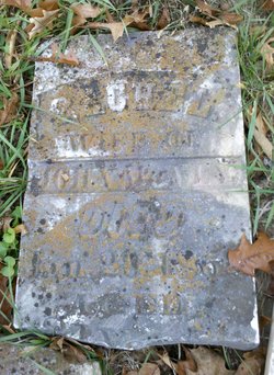
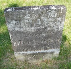
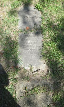
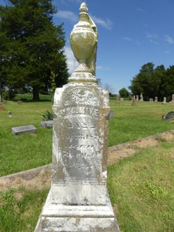
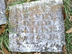
Rachel McVey
| Birth | : | 1769 Virginia, USA |
| Death | : | 29 Jan 1853 Franklin, Lee County, Iowa, USA |
| Burial | : | Hoover Cemetery, Franklin, Lee County, USA |
| Coordinate | : | 40.6960983, -91.5160980 |
| Description | : | Rachel and John C. McVey married in the early 1790's and lived in Knox County, Tennessee. The 1820 U.S. Federal Census shows they were still in Knox Co., TN. In 1822, husband John C McVey died and his will was in probate in Todd, Kentucky. Between 1822-1825 Rachel, sons John N., Samuel M., and Edley were the first settlers of Macoupin County, Illinois. The 1830 U.S. Federal Census shows that they are still in Macoupin Co., IL. In 1836 Rachel moved with son Charles McClung McVey & his family to Iowa. Rachel died January 29,... Read More |
frequently asked questions (FAQ):
-
Where is Rachel McVey's memorial?
Rachel McVey's memorial is located at: Hoover Cemetery, Franklin, Lee County, USA.
-
When did Rachel McVey death?
Rachel McVey death on 29 Jan 1853 in Franklin, Lee County, Iowa, USA
-
Where are the coordinates of the Rachel McVey's memorial?
Latitude: 40.6960983
Longitude: -91.5160980
Family Members:
Spouse
Children
Flowers:
Nearby Cemetories:
1. Hoover Cemetery
Franklin, Lee County, USA
Coordinate: 40.6960983, -91.5160980
2. Blacksmith Cemetery
Franklin, Lee County, USA
Coordinate: 40.7078018, -91.5096970
3. Franklin Cemetery
Franklin, Lee County, USA
Coordinate: 40.6683006, -91.5066986
4. Saint Peters United Church of Christ Cemetery
Franklin, Lee County, USA
Coordinate: 40.6674995, -91.4974976
5. Bonnell Cemetery
Franklin, Lee County, USA
Coordinate: 40.7057991, -91.5635986
6. J Goldsmiths Burying Ground
West Point, Lee County, USA
Coordinate: 40.7333730, -91.4973000
7. Busch Mennonite Cemetery
Lee County, USA
Coordinate: 40.6679300, -91.4783900
8. Saint Peters Presbyterian Cemetery
Franklin, Lee County, USA
Coordinate: 40.6603012, -91.4831009
9. Judy Cemetery
West Point, Lee County, USA
Coordinate: 40.6622000, -91.4744000
10. Calvary Cemetery
West Point, Lee County, USA
Coordinate: 40.7127991, -91.4561005
11. Evangelical Cemetery
Donnellson, Lee County, USA
Coordinate: 40.6608009, -91.5650024
12. McCracken Cemetery
Lee County, USA
Coordinate: 40.7274200, -91.5695500
13. West Point Cemetery
West Point, Lee County, USA
Coordinate: 40.7183600, -91.4487500
14. Zion Mennonite Cemetery
Donnellson, Lee County, USA
Coordinate: 40.6678009, -91.5839005
15. Clay Grove Cemetery
West Point, Lee County, USA
Coordinate: 40.7425900, -91.5642800
16. Creel Farm Cemetery
West Point, Lee County, USA
Coordinate: 40.7472220, -91.4752780
17. Everhart Cemetery
Donnellson, Lee County, USA
Coordinate: 40.6310997, -91.4891968
18. Saint James Cemetery
Saint Paul, Lee County, USA
Coordinate: 40.7696000, -91.5185900
19. McCulloch Cemetery
Lee County, USA
Coordinate: 40.6730995, -91.6082993
20. Beeler Cemetery
Lee County, USA
Coordinate: 40.6918983, -91.6132965
21. Van Hynning Family Cemetery
West Point, Lee County, USA
Coordinate: 40.7038630, -91.4189880
22. Pitman Family Pioneer Cemetery
Pleasant Ridge Township, Lee County, USA
Coordinate: 40.7108002, -91.4180984
23. Donnell Cemetery
Donnellson, Lee County, USA
Coordinate: 40.6278000, -91.5639038
24. Applegate Family Burial Ground
Viele, Lee County, USA
Coordinate: 40.6285460, -91.4641000

