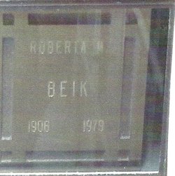
Roberta Mae Rumfelt Beik
| Birth | : | 3 Feb 1906 Alameda County, California, USA |
| Death | : | 19 May 1979 Stockton, San Joaquin County, California, USA |
| Burial | : | Garber Cemetery, Garber, Garfield County, USA |
| Coordinate | : | 36.4419200, -97.5686700 |
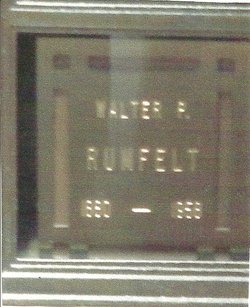
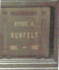
| Description | : | Widow of Leonard Ellsworth Beik Daughter of Walter Pitt Rumfelt and Burdye Alice (McDaniel) Rumfelt |
frequently asked questions (FAQ):
-
Where is Roberta Mae Rumfelt Beik's memorial?
Roberta Mae Rumfelt Beik's memorial is located at: Garber Cemetery, Garber, Garfield County, USA.
-
When did Roberta Mae Rumfelt Beik death?
Roberta Mae Rumfelt Beik death on 19 May 1979 in Stockton, San Joaquin County, California, USA
-
Where are the coordinates of the Roberta Mae Rumfelt Beik's memorial?
Latitude: 36.4419200
Longitude: -97.5686700
Family Members:
Parent
Spouse
Flowers:
Nearby Cemetories:
1. Garber Cemetery
Garber, Garfield County, USA
Coordinate: 36.4419200, -97.5686700
2. Garber Lutheran Cemetery
Garber, Garfield County, USA
Coordinate: 36.4050160, -97.5954370
3. Black Bear Cemetery
Garfield County, USA
Coordinate: 36.3763885, -97.5058365
4. Heitholt Memorial Cemetery
Garfield County, USA
Coordinate: 36.5353012, -97.5156021
5. Saint Johns Lutheran Cemetery
Covington, Garfield County, USA
Coordinate: 36.3391991, -97.5496979
6. Paradise Cemetery
Breckinridge, Garfield County, USA
Coordinate: 36.4336014, -97.7018967
7. Collett Cemetery
Fairmont, Garfield County, USA
Coordinate: 36.3683014, -97.7102966
8. Billings Union Cemetery
Billings, Noble County, USA
Coordinate: 36.5056000, -97.4163971
9. Polo Cemetery
Noble County, USA
Coordinate: 36.3755989, -97.4163971
10. Billings Catholic Cemetery
Billings, Noble County, USA
Coordinate: 36.5347700, -97.4348400
11. Sample Cemetery
Covington, Garfield County, USA
Coordinate: 36.3181000, -97.4788971
12. Breckinridge Lutheran Cemetery
Breckinridge, Garfield County, USA
Coordinate: 36.4632988, -97.7474976
13. Zion Lutheran Cemetery
Fairmont, Garfield County, USA
Coordinate: 36.3749400, -97.7297400
14. Covington Cemetery
Covington, Garfield County, USA
Coordinate: 36.2966900, -97.5871400
15. White Cemetery
Hunter, Garfield County, USA
Coordinate: 36.5788994, -97.6660995
16. Hayward Cemetery
Hayward, Garfield County, USA
Coordinate: 36.2753400, -97.5244100
17. Mount Vernon Cemetery
Lamont, Grant County, USA
Coordinate: 36.6082993, -97.5167007
18. Chisholm Trail Burial Park
Enid, Garfield County, USA
Coordinate: 36.4632500, -97.7921900
19. Mount Pleasant Cemetery
Salt Fork, Grant County, USA
Coordinate: 36.6217003, -97.6333008
20. Mount Carmel Cemetery
Perry, Noble County, USA
Coordinate: 36.3907500, -97.3362100
21. Douglas Union Cemetery
Douglas, Garfield County, USA
Coordinate: 36.2600365, -97.6592178
22. McGuire Cemetery
Lucien, Noble County, USA
Coordinate: 36.2799988, -97.4255981
23. Bethany Cemetery
Enid, Garfield County, USA
Coordinate: 36.3619003, -97.8097000
24. Bethel Cemetery
Garfield County, USA
Coordinate: 36.2313995, -97.5867004


