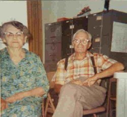
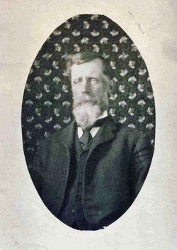
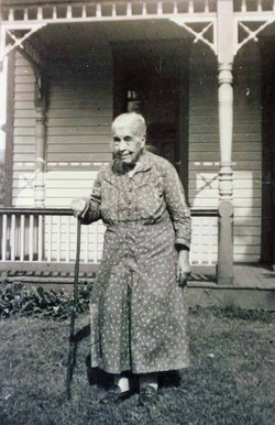
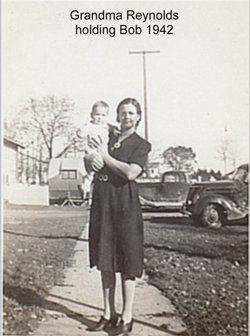
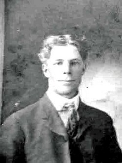
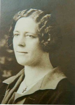
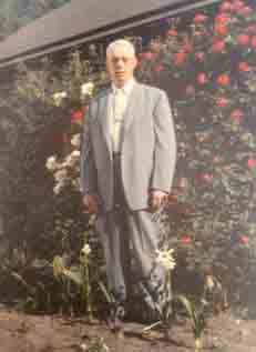
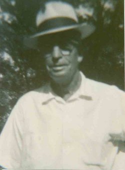
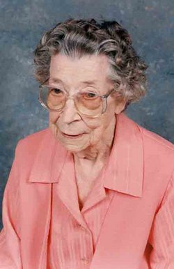
Roscoe Conklin “Ross” Reynolds
| Birth | : | 23 Aug 1888 Allerton, Wayne County, Iowa, USA |
| Death | : | 19 May 1984 Wales Township, St. Clair County, Michigan, USA |
| Burial | : | Rototai Cemetery, Takaka, Tasman District, New Zealand |
| Coordinate | : | -40.8359170, 172.8259860 |
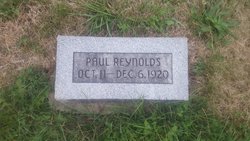
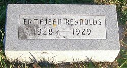
| Description | : | Roscoe C. Reynolds, son of Oliver H. and Irene (Allen) Reynolds, was born on a farm near Allerton, IA on Aug. 23, 1888 and died May 19, 1984 at the St. Clair County Medical Center in Goodells, MI, aged 95 years and 9 months. He was united in marriage to Alta M. Dunham on Oct. 5, 1911. To this union eight children were born: Cecile, Clyde, Frederick, Arlo, Milan, Clarence Neil, Paul Eugene and Irma Jean. He was a lifelong member of the Odd Fellows Lodge No. 84 of Leon and a member of the Rebekah Lodge No. 419. Roscoe... Read More |
frequently asked questions (FAQ):
-
Where is Roscoe Conklin “Ross” Reynolds's memorial?
Roscoe Conklin “Ross” Reynolds's memorial is located at: Rototai Cemetery, Takaka, Tasman District, New Zealand.
-
When did Roscoe Conklin “Ross” Reynolds death?
Roscoe Conklin “Ross” Reynolds death on 19 May 1984 in Wales Township, St. Clair County, Michigan, USA
-
Where are the coordinates of the Roscoe Conklin “Ross” Reynolds's memorial?
Latitude: -40.8359170
Longitude: 172.8259860
Family Members:
Parent
Spouse
Siblings
Children
Flowers:
Nearby Cemetories:
1. Rototai Cemetery
Takaka, Tasman District, New Zealand
Coordinate: -40.8359170, 172.8259860
2. Clifton Public Cemetery
Takaka, Tasman District, New Zealand
Coordinate: -40.8336370, 172.8591880
3. Kotinga Cemetery
Takaka, Tasman District, New Zealand
Coordinate: -40.8857380, 172.7958070
4. Hamama West Takaka Cemetery
Takaka, Tasman District, New Zealand
Coordinate: -40.8994520, 172.8101100
5. East Takaka Cemetery
East Takaka, Tasman District, New Zealand
Coordinate: -40.9243730, 172.8278290
6. Hadfield Family Cemetery at Meadowbank
Tasman District, New Zealand
Coordinate: -40.8619070, 173.0241930
7. Old Collingwood Cemetery
Collingwood, Tasman District, New Zealand
Coordinate: -40.6859460, 172.6807220
8. Collingwood Cemetery
Collingwood, Tasman District, New Zealand
Coordinate: -40.6811600, 172.6698400
9. Sandy Bay Cemetery
Sandy Bay, Tasman District, New Zealand
Coordinate: -41.0177570, 172.9775800
10. Bainham Cemetery
Bainham, Tasman District, New Zealand
Coordinate: -40.7520020, 172.5622050
11. Riwaka Cemetery
Riwaka, Tasman District, New Zealand
Coordinate: -41.0676130, 172.9848570
12. Pangatotara Cemetery
Pangatotara, Tasman District, New Zealand
Coordinate: -41.1146220, 172.9456110
13. Pah Street Methodist Cemetery
Motueka, Tasman District, New Zealand
Coordinate: -41.1105140, 173.0018140
14. Pioneer Park
Motueka, Tasman District, New Zealand
Coordinate: -41.1059000, 173.0211850
15. Motueka Cemetery
Motueka, Tasman District, New Zealand
Coordinate: -41.1280550, 173.0198830
16. Fletts Cemetery
Lower Moutere, Tasman District, New Zealand
Coordinate: -41.1715560, 172.9992190
17. Waiwhero Cemetery
Ngatimoti, Tasman District, New Zealand
Coordinate: -41.1879690, 172.9304540
18. Moutere Hills Cemetery
Upper Moutere, Tasman District, New Zealand
Coordinate: -41.2365927, 173.0102027
19. St. Paul's Lutheran Churchyard
Upper Moutere, Tasman District, New Zealand
Coordinate: -41.2703770, 173.0058870
20. Dovedale Cemetery
Dovedale, Tasman District, New Zealand
Coordinate: -41.2900770, 172.8970380
21. Stanley Brook Cemetery
Stanley Brook, Tasman District, New Zealand
Coordinate: -41.3311820, 172.8206200
22. Saint Peter & Paul Catholic Churchyard
Appleby, Tasman District, New Zealand
Coordinate: -41.3172800, 173.1117800
23. Saint Alban's Appleby Churchyard
Appleby, Tasman District, New Zealand
Coordinate: -41.3173900, 173.1370900
24. Haulashore Island
Nelson, Nelson City, New Zealand
Coordinate: -41.2691290, 173.2589020

