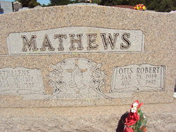
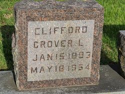
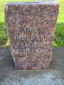
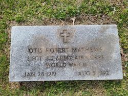
Ruth Ethelene Clifford Mathews
| Birth | : | 16 Dec 1917 St. Clair County, Missouri, USA |
| Death | : | 9 Mar 1987 Independence, Jackson County, Missouri, USA |
| Burial | : | Union Grove Cemetery, Gambier, Knox County, USA |
| Coordinate | : | 40.3417000, -82.3585300 |
frequently asked questions (FAQ):
-
Where is Ruth Ethelene Clifford Mathews's memorial?
Ruth Ethelene Clifford Mathews's memorial is located at: Union Grove Cemetery, Gambier, Knox County, USA.
-
When did Ruth Ethelene Clifford Mathews death?
Ruth Ethelene Clifford Mathews death on 9 Mar 1987 in Independence, Jackson County, Missouri, USA
-
Where are the coordinates of the Ruth Ethelene Clifford Mathews's memorial?
Latitude: 40.3417000
Longitude: -82.3585300
Family Members:
Parent
Spouse
Siblings
Nearby Cemetories:
1. Union Grove Cemetery
Gambier, Knox County, USA
Coordinate: 40.3417000, -82.3585300
2. Veatch Family Cemetery
Knox County, USA
Coordinate: 40.3221803, -82.3652776
3. Hopewell Cemetery
Knox County, USA
Coordinate: 40.3362100, -82.3887500
4. Mount Zion Cemetery
Gambier, Knox County, USA
Coordinate: 40.3750000, -82.3518982
5. Kokosing Nature Preserve Burial Ground
Gambier, Knox County, USA
Coordinate: 40.3835390, -82.3766900
6. Mount Pleasant Cemetery
Knox County, USA
Coordinate: 40.3280983, -82.4139023
7. Kenyon College Cemetery
Gambier, Knox County, USA
Coordinate: 40.3740700, -82.3984400
8. Quarry Chapel Cemetery
Gambier, Knox County, USA
Coordinate: 40.3876340, -82.3710770
9. Oak Grove Cemetery
Gambier, Knox County, USA
Coordinate: 40.3838997, -82.3936005
10. Bethel Cemetery
Knox County, USA
Coordinate: 40.3349991, -82.2930984
11. Pleasant Valley Cemetery
Howard, Knox County, USA
Coordinate: 40.4021988, -82.3705978
12. Branstool-Critchfield-Shrimplin Cemetery
Howard, Knox County, USA
Coordinate: 40.4021940, -82.3393400
13. Owl Creek Memorial Cemetery
Morgan Township, Knox County, USA
Coordinate: 40.2896400, -82.4124400
14. N N A Cemetery
Knox County, USA
Coordinate: 40.3212130, -82.4422550
15. Bostater Family Cemetery
Mount Vernon, Knox County, USA
Coordinate: 40.3605000, -82.4453000
16. Martinsburg Presbyterian Cemetery
Martinsburg, Knox County, USA
Coordinate: 40.2728200, -82.3520400
17. Martinsburg Methodist Episcopal Cemetery
Martinsburg, Knox County, USA
Coordinate: 40.2700800, -82.3512200
18. Campbell Cemetery
Knox County, USA
Coordinate: 40.3403015, -82.2636032
19. Wright Cemetery
Howard, Knox County, USA
Coordinate: 40.4116040, -82.3264590
20. Kemmerer Cemetery
Knox County, USA
Coordinate: 40.3232994, -82.2596970
21. Saint Johns Cemetery
South Mount Vernon, Knox County, USA
Coordinate: 40.3633003, -82.4618988
22. Old Jelloway Cemetery
Howard, Knox County, USA
Coordinate: 40.4240740, -82.3451150
23. Mount Vernon Memorial Gardens
Mount Vernon, Knox County, USA
Coordinate: 40.4108009, -82.4203033
24. Bladensburg Cemetery
Bladensburg, Knox County, USA
Coordinate: 40.2848500, -82.2774600


