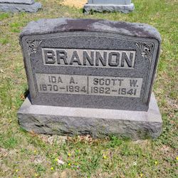
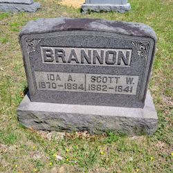
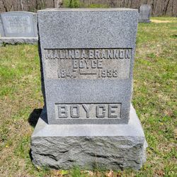
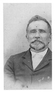
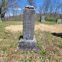
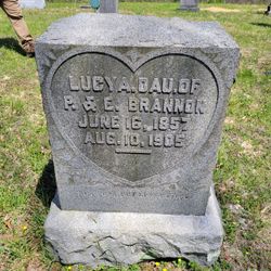
Scott Winfield Brannon
| Birth | : | 24 Apr 1862 Conings, Gilmer County, West Virginia, USA |
| Death | : | 23 Nov 1941 Conings, Gilmer County, West Virginia, USA |
| Burial | : | Brannon Cemetery, Gilmer County, USA |
| Coordinate | : | 39.0997009, -80.7718964 |
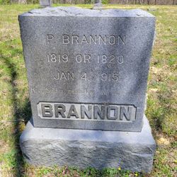
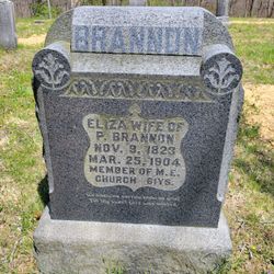
| Description | : | Scott Winfield Brannon is the son of Pinkard Brannon and Eliza Gibson Brannon. Scott was married to Ida Anna Van Verth 1st. He married Dorothy Gaines 2nd. All of his children were with Ida Anna Van Verth Brannon. |
frequently asked questions (FAQ):
-
Where is Scott Winfield Brannon's memorial?
Scott Winfield Brannon's memorial is located at: Brannon Cemetery, Gilmer County, USA.
-
When did Scott Winfield Brannon death?
Scott Winfield Brannon death on 23 Nov 1941 in Conings, Gilmer County, West Virginia, USA
-
Where are the coordinates of the Scott Winfield Brannon's memorial?
Latitude: 39.0997009
Longitude: -80.7718964
Family Members:
Parent
Spouse
Siblings
Children
Flowers:
Nearby Cemetories:
1. Brannon Cemetery
Gilmer County, USA
Coordinate: 39.0997009, -80.7718964
2. Spurgeon Cemetery
Conings, Gilmer County, USA
Coordinate: 39.1019000, -80.7801750
3. Lowther Cemetery
Doddridge County, USA
Coordinate: 39.1096992, -80.7656021
4. Mount Earnest Cemetery
Gilmer County, USA
Coordinate: 39.0867004, -80.7652969
5. Big Run Cemetery
Gilmer County, USA
Coordinate: 39.0802994, -80.7585983
6. Keister Cemetery
Gilmer County, USA
Coordinate: 39.0727997, -80.7817001
7. Mount Union Methodist Cemetery
Leopold, Doddridge County, USA
Coordinate: 39.1133330, -80.8050000
8. Point Pleasant Cemetery
Oxford, Doddridge County, USA
Coordinate: 39.1032982, -80.7281036
9. Point Pleasant Baptist Church Cemetery
Leopold, Doddridge County, USA
Coordinate: 39.1036730, -80.7268200
10. Grove Church Cemetery
Grove, Doddridge County, USA
Coordinate: 39.1474600, -80.7707700
11. Grove Cemetery
West Union, Doddridge County, USA
Coordinate: 39.1478004, -80.7711029
12. Hall Cemetery
Gilmer County, USA
Coordinate: 39.0816994, -80.8383026
13. Auburn Baptist Church Cemetery
Auburn, Ritchie County, USA
Coordinate: 39.0819200, -80.8384600
14. Leason Cemetery
Doddridge County, USA
Coordinate: 39.1506004, -80.8005981
15. Halderman Cemetery
Lewis County, USA
Coordinate: 39.0821991, -80.7039032
16. Saint Clare Cemetery
Saint Clara, Doddridge County, USA
Coordinate: 39.1258011, -80.7046967
17. Saint Johannes Lutheran Church Cemetery
New Milton, Doddridge County, USA
Coordinate: 39.1258320, -80.7014290
18. Hurst Cemetery
Lewis County, USA
Coordinate: 39.0741997, -80.6999969
19. Auburn Community Cemetery
Auburn, Ritchie County, USA
Coordinate: 39.0960999, -80.8533020
20. Redemption Cemetery
Doddridge County, USA
Coordinate: 39.1506004, -80.7130966
21. Troy IOOF Community Cemetery
Troy, Gilmer County, USA
Coordinate: 39.0281170, -80.7679560
22. Carder Cemetery
Vadis, Lewis County, USA
Coordinate: 39.0433006, -80.7142029
23. Fisher Cemetery
Troy, Gilmer County, USA
Coordinate: 39.0480500, -80.8400000
24. Straight Run Cemetery
Hurst, Lewis County, USA
Coordinate: 39.0802994, -80.6774979

