Velda Jeanne Sieh Stahlecker
| Birth | : | 1 Oct 1930 Boyd County, Nebraska, USA |
| Death | : | 19 Oct 2018 Omaha, Douglas County, Nebraska, USA |
| Burial | : | Knoll Crest Cemetery, Naper, Boyd County, USA |
| Coordinate | : | 42.9589005, -99.0875015 |
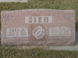
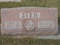
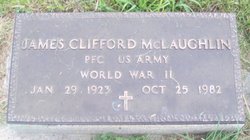
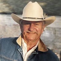
| Description | : | Velda Jeanne Sieh was born on October 1, 1930 on the family farm eight miles west of Naper, Nebraska to Fred “Fritz” H. and Hertha Christina (Mogck) Sieh. She passed away at Aksarben Senior Living in Omaha, Nebraska on October 19, 2018 at age 88 years 18 days after a long struggle with Alzheimer’s disease. Velda was raised on the family farms near Naper and graduated from Naper High School in 1948. Velda was united in marriage to James “Jim” Clifford McLaughlin on April 24, 1948 in Burke, South Dakota. Except for a short stay in... Read More |
frequently asked questions (FAQ):
-
Where is Velda Jeanne Sieh Stahlecker's memorial?
Velda Jeanne Sieh Stahlecker's memorial is located at: Knoll Crest Cemetery, Naper, Boyd County, USA.
-
When did Velda Jeanne Sieh Stahlecker death?
Velda Jeanne Sieh Stahlecker death on 19 Oct 2018 in Omaha, Douglas County, Nebraska, USA
-
Where are the coordinates of the Velda Jeanne Sieh Stahlecker's memorial?
Latitude: 42.9589005
Longitude: -99.0875015
Family Members:
Parent
Spouse
Siblings
Flowers:
Nearby Cemetories:
1. Knoll Crest Cemetery
Naper, Boyd County, USA
Coordinate: 42.9589005, -99.0875015
2. Sacred Heart Cemetery
Naper, Boyd County, USA
Coordinate: 42.9586400, -99.0905900
3. Lutheran Cemetery
Naper, Boyd County, USA
Coordinate: 42.9585980, -99.1268810
4. German Cemetery
Naper, Boyd County, USA
Coordinate: 42.9696999, -99.1350021
5. Mount Zion Cemetery
Naper, Boyd County, USA
Coordinate: 42.9701200, -99.0183400
6. Baptist Cemetery
Naper, Boyd County, USA
Coordinate: 42.9730988, -99.1564026
7. Saint Francis Xavier Cemetery
Saint Charles, Gregory County, USA
Coordinate: 43.0094337, -99.1375152
8. Milks Camp Episcopal Cemetery
Saint Charles, Gregory County, USA
Coordinate: 43.0378199, -99.1552354
9. Ponca Creek UCC Cemetery
Gregory County, USA
Coordinate: 43.0451800, -99.1491700
10. Southside Cemetery
Holt County, USA
Coordinate: 42.8842139, -98.9931842
11. Oak Dale Cemetery
Naper, Boyd County, USA
Coordinate: 42.8847008, -99.1939011
12. Pleasant Valley Cemetery
Bonesteel, Gregory County, USA
Coordinate: 43.0327988, -98.9796982
13. Adams Cemetery
Holt County, USA
Coordinate: 42.8706000, -98.9694500
14. Highland Cemetery
Fairfax, Gregory County, USA
Coordinate: 43.0236015, -98.8930969
15. Trinity Lutheran Cemetery
Fairfax, Gregory County, USA
Coordinate: 43.0102997, -98.8842010
16. Saint Marys Cemetery
Bonesteel, Gregory County, USA
Coordinate: 43.0816994, -98.9413986
17. Rosebud Cemetery
Bonesteel, Gregory County, USA
Coordinate: 43.0835991, -98.9405975
18. Immanuel Lutheran Cemetery
Jamison, Keya Paha County, USA
Coordinate: 42.9977989, -99.3139038
19. Saints Peter and Paul Cemetery
Butte, Boyd County, USA
Coordinate: 42.9221992, -98.8593979
20. Butte Cemetery
Butte, Boyd County, USA
Coordinate: 42.9235992, -98.8585968
21. Herrick Cemetery
Herrick, Gregory County, USA
Coordinate: 43.1110000, -99.1970000
22. Saint Anthonys Cemetery
Fairfax, Gregory County, USA
Coordinate: 43.0532990, -98.8835983
23. Spotted Tail Cemetery
Jamison, Keya Paha County, USA
Coordinate: 42.9799995, -99.3324966
24. Cleveland Cemetery
Holt County, USA
Coordinate: 42.7761002, -99.1091995


