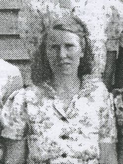
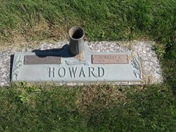
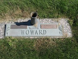
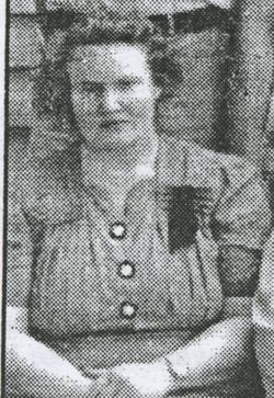
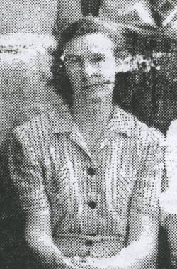
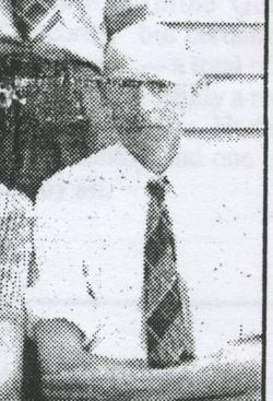
Verla Clara McGinness Howard
| Birth | : | 10 Mar 1905 Wilcox, Nodaway County, Missouri, USA |
| Death | : | 30 Dec 1996 Maryville, Nodaway County, Missouri, USA |
| Burial | : | Corinth Baptist Church Cemetery, Vance, Orangeburg County, USA |
| Coordinate | : | 33.3750150, -80.4234620 |
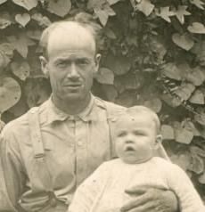
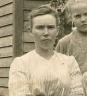
| Description | : | Verla C. Howard, 91, Maryville, died Monday, Dec. 30, 1995, at St. Francis Hospital, Maryville. Born March 10, 1905, in Wilcox, to Reason Lawrence and Mabel Estella Wilson McGinness, she had worked as a nurse's aid at St. Francis Hospital until her retirement. She married Forrest K. Howard, Feb. 25, 1926, in Clarinda, Iowa. A resident of Maryville for 70 years, Mrs. Howard was a graduate of College High School, Maryville; and a member of Ravenwood United Methodist Church, Ravenwood. She was preceded in death by her husband; two brothers, Dale McGinness and G. Roland McGinness; and three sisters, Mae Neidel, Pearl Andrews and... Read More |
frequently asked questions (FAQ):
-
Where is Verla Clara McGinness Howard's memorial?
Verla Clara McGinness Howard's memorial is located at: Corinth Baptist Church Cemetery, Vance, Orangeburg County, USA.
-
When did Verla Clara McGinness Howard death?
Verla Clara McGinness Howard death on 30 Dec 1996 in Maryville, Nodaway County, Missouri, USA
-
Where are the coordinates of the Verla Clara McGinness Howard's memorial?
Latitude: 33.3750150
Longitude: -80.4234620
Family Members:
Parent
Spouse
Siblings
Children
Flowers:
Nearby Cemetories:
1. Corinth Baptist Church Cemetery
Vance, Orangeburg County, USA
Coordinate: 33.3750150, -80.4234620
2. Miracle Faith Temple United Church of God Cemetery
Holly Hill, Orangeburg County, USA
Coordinate: 33.3847080, -80.4262320
3. Liberty Hill Cemetery
Orangeburg County, USA
Coordinate: 33.3885994, -80.4167023
4. Felder Cemetery
Vance, Orangeburg County, USA
Coordinate: 33.3892340, -80.4164340
5. Scott Family Cemetery
Eutawville, Orangeburg County, USA
Coordinate: 33.3584830, -80.4123720
6. Platt Family Cemetery
Holly Hill, Orangeburg County, USA
Coordinate: 33.3610992, -80.3886032
7. Bethlehem Southern Methodist Church Cemetery
Holly Hill, Orangeburg County, USA
Coordinate: 33.3708170, -80.3823550
8. Bethlehem Southern Methodist Church
Moncks Corner, Berkeley County, USA
Coordinate: 33.3727840, -80.3820330
9. Rock Hill AME Church Cemetery
Orangeburg County, USA
Coordinate: 33.3962010, -80.4646070
10. Target United Methodist Church Cemetery
Holly Hill, Orangeburg County, USA
Coordinate: 33.3371990, -80.4499310
11. Union Hill Baptist Church Cemetery
Holly Hill, Orangeburg County, USA
Coordinate: 33.3518840, -80.4705980
12. Kingdom Hall of Jehovah's Witness Cemetery
Holly Hill, Orangeburg County, USA
Coordinate: 33.3346950, -80.3967360
13. Eleventh Hour Baptist Church Cemetery
Holly Hill, Orangeburg County, USA
Coordinate: 33.3694470, -80.4783290
14. Holly Cemetery
Holly Hill, Orangeburg County, USA
Coordinate: 33.3270000, -80.4160000
15. Greater Target and Bethel AME Cemetery
Holly Hill, Orangeburg County, USA
Coordinate: 33.3281170, -80.4499720
16. Dantzler-Hart Cemetery
Wells, Orangeburg County, USA
Coordinate: 33.3903008, -80.4841995
17. Shepherd Outreach Ministry Church Cemetery
Vance, Orangeburg County, USA
Coordinate: 33.4284190, -80.4292520
18. Greater Unity AME Church
Holly Hill, Orangeburg County, USA
Coordinate: 33.3376800, -80.3684540
19. Gerizim United Methodist Church Cemetery
Vance, Orangeburg County, USA
Coordinate: 33.4294430, -80.4540960
20. Springfield Missionary Baptist Church Cemetery
Eutawville, Orangeburg County, USA
Coordinate: 33.4249960, -80.3819820
21. Small Jacqueline Young Cemetery
Eutawville, Orangeburg County, USA
Coordinate: 33.4255620, -80.3819370
22. Joyner Cemetery
Eutawville, Orangeburg County, USA
Coordinate: 33.3619003, -80.3503036
23. Refuge New Calvary Church Cemetery
Vance, Orangeburg County, USA
Coordinate: 33.4371780, -80.4415660
24. First Pentecostal Holiness Church Cemetery
Holly Hill, Orangeburg County, USA
Coordinate: 33.3146600, -80.3964360

