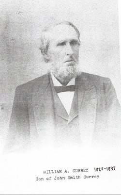
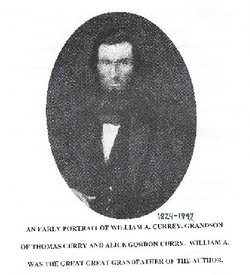
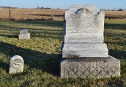
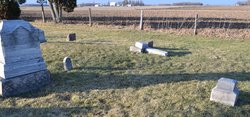
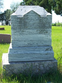
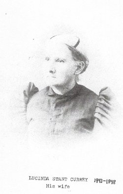
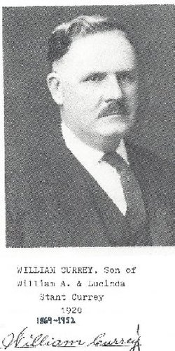
William A. Currey
| Birth | : | 19 Nov 1824 Franklin County, Indiana, USA |
| Death | : | 14 Mar 1897 Tipton County, Indiana, USA |
| Burial | : | Hazel Wood Cemetery, Colonia, Middlesex County, USA |
| Coordinate | : | 40.6085260, -74.3062890 |
| Description | : | William A. Currey, farmer and live stock-dealer, owning 169 acres in Section 27, Cicero Township, is a native of Franklin County, Ind., and was born November 19, 1824. He engaged in farming in his native county until 1877, when he removed to Madison County, Ind., and purchased a farm of 154 acres. Shortly after, he traded this land for his present farm in Tipton County and has since resided here. His land is mostly under cultivation, is of fertile soil and well drained, and lies between the Pike and the Wabash Railroad; his farm produces 600 bushels... Read More |
frequently asked questions (FAQ):
-
Where is William A. Currey's memorial?
William A. Currey's memorial is located at: Hazel Wood Cemetery, Colonia, Middlesex County, USA.
-
When did William A. Currey death?
William A. Currey death on 14 Mar 1897 in Tipton County, Indiana, USA
-
Where are the coordinates of the William A. Currey's memorial?
Latitude: 40.6085260
Longitude: -74.3062890
Family Members:
Parent
Spouse
Siblings
Children
Flowers:
Nearby Cemetories:
1. Hazel Wood Cemetery
Colonia, Middlesex County, USA
Coordinate: 40.6085260, -74.3062890
2. Saint Marys Cemetery
Clark, Union County, USA
Coordinate: 40.6111550, -74.3049710
3. Saint John the Baptist Russian Orthodox Cemetery
Clark, Union County, USA
Coordinate: 40.6105610, -74.3035280
4. Saint Gertrude Cemetery and Mausoleum
Colonia, Middlesex County, USA
Coordinate: 40.5978920, -74.3073420
5. Rahway Cemetery
Rahway, Union County, USA
Coordinate: 40.6175003, -74.2866974
6. New Dover Cemetery
Edison, Middlesex County, USA
Coordinate: 40.5854630, -74.3401660
7. Clover Leaf Memorial Park
Woodbridge, Middlesex County, USA
Coordinate: 40.5698200, -74.2948700
8. Cranford United Methodist Church Memorial Garden
Cranford, Union County, USA
Coordinate: 40.6507190, -74.3039990
9. Mount Lebanon Cemetery
Iselin, Middlesex County, USA
Coordinate: 40.5630989, -74.3186035
10. Calvary Lutheran Church Memorial Garden
Cranford, Union County, USA
Coordinate: 40.6570380, -74.3067660
11. Holy Trinity Churchyard
Westfield, Union County, USA
Coordinate: 40.6474500, -74.3490700
12. Trinity Episcopal Church Cemetery
Woodbridge, Middlesex County, USA
Coordinate: 40.5636000, -74.2724800
13. First Presbyterian Churchyard
Woodbridge, Middlesex County, USA
Coordinate: 40.5620200, -74.2731500
14. First United Methodist Church Memorial Garden
Westfield, Union County, USA
Coordinate: 40.6503330, -74.3506050
15. Woodbridge Memorial Gardens Mausoleum
Woodbridge, Middlesex County, USA
Coordinate: 40.5546840, -74.3106110
16. Saint Paul Episcopal Church Memorial Garden
Westfield, Union County, USA
Coordinate: 40.6540210, -74.3447450
17. Presbyterian Church Burial Grounds
Westfield, Union County, USA
Coordinate: 40.6537018, -74.3479004
18. Rosedale and Rosehill Cemetery
Linden, Union County, USA
Coordinate: 40.6315910, -74.2381270
19. Beth Israel Cemetery
Woodbridge, Middlesex County, USA
Coordinate: 40.5516357, -74.3113937
20. Little Quaker Churchyard
Woodbridge, Middlesex County, USA
Coordinate: 40.5541140, -74.2786500
21. Mount Calvary Cemetery
Linden, Union County, USA
Coordinate: 40.6335983, -74.2350006
22. Fairview Cemetery
Westfield, Union County, USA
Coordinate: 40.6674995, -74.3300018
23. Fanwood Presbyterian Church Memorial Garden
Fanwood, Union County, USA
Coordinate: 40.6394080, -74.3822010
24. Hillside Cemetery
Scotch Plains, Union County, USA
Coordinate: 40.6049995, -74.3930969

