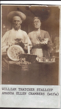
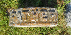
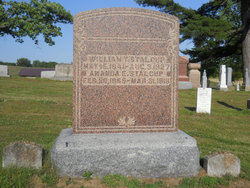
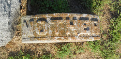
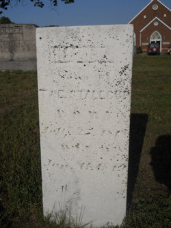
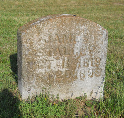
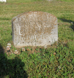
William Thatcher Stalcup
| Birth | : | 15 May 1841 Greene County, Indiana, USA |
| Death | : | 3 Aug 1927 Greene County, Indiana, USA |
| Burial | : | St Peters Churchyard, Dunston, North Kesteven District, England |
| Coordinate | : | 53.1529600, -0.4120730 |
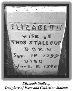
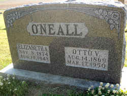
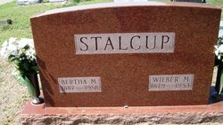
| Description | : | William Thatcher STALCUP was born May 15, 1841, and died at one a.m. August 3, 1927, aged eighty-six years, two months and eighteen days. He was united in marriage to Amanda Ellen CHAMBERS, October 11, 1866. To this union were born three children, one daughter who died in infancy and Mrs. Otto O’NEALL, and Wilber Marshal STALCUP, who survive their father. His loyal and devoted wife preceded him March 31, 1916. Uncle Thacher, as he was familiarly known was the son of Thomas and Elizabeth STALCUP, the father a native of North Carolina, was a soldier in the war of 1812, and... Read More |
frequently asked questions (FAQ):
-
Where is William Thatcher Stalcup's memorial?
William Thatcher Stalcup's memorial is located at: St Peters Churchyard, Dunston, North Kesteven District, England.
-
When did William Thatcher Stalcup death?
William Thatcher Stalcup death on 3 Aug 1927 in Greene County, Indiana, USA
-
Where are the coordinates of the William Thatcher Stalcup's memorial?
Latitude: 53.1529600
Longitude: -0.4120730
Family Members:
Parent
Spouse
Siblings
Children
Flowers:
Nearby Cemetories:
1. St Peters Churchyard
Dunston, North Kesteven District, England
Coordinate: 53.1529600, -0.4120730
2. All Saints Churchyard
Nocton, North Kesteven District, England
Coordinate: 53.1637001, -0.4151000
3. St Wilfrid Churchyard
Metheringham, North Kesteven District, England
Coordinate: 53.1380350, -0.4016960
4. St. Oswald's Churchyard
Blankney, North Kesteven District, England
Coordinate: 53.1264910, -0.4051300
5. St. Andrew Churchyard
Potterhanworth, North Kesteven District, England
Coordinate: 53.1814000, -0.4229000
6. Holy Cross Churchyard Extension
Scopwick, North Kesteven District, England
Coordinate: 53.1105880, -0.4044990
7. Holy Cross Churchyard
Scopwick, North Kesteven District, England
Coordinate: 53.1089480, -0.4032690
8. Holy Cross Churchyard
Kirkby Green, North Kesteven District, England
Coordinate: 53.1062300, -0.3808000
9. All Saints Churchyard
Branston, North Kesteven District, England
Coordinate: 53.1929200, -0.4728800
10. Branston Cemetery
Branston, North Kesteven District, England
Coordinate: 53.1937400, -0.4720700
11. St. Andrew's Churchyard
Timberland, North Kesteven District, England
Coordinate: 53.1095985, -0.3267715
12. St. Andrew's Churchyard
Timberland, North Kesteven District, England
Coordinate: 53.1095985, -0.3267715
13. Waddington Burial Ground
Waddington, North Kesteven District, England
Coordinate: 53.1641940, -0.5351900
14. St Thomas Becket Churchyard
Digby, North Kesteven District, England
Coordinate: 53.0796030, -0.3882980
15. St. John the Devine Churchyard
Southrey, West Lindsey District, England
Coordinate: 53.1843135, -0.2972542
16. St. Lawrence Churchyard
Bardney, West Lindsey District, England
Coordinate: 53.2095580, -0.3254380
17. Bardney Cemetery
Bardney, West Lindsey District, England
Coordinate: 53.2078350, -0.3208830
18. St. Michael Churchyard
Waddington, North Kesteven District, England
Coordinate: 53.1659100, -0.5401800
19. Navenby Cemetery
Navenby, North Kesteven District, England
Coordinate: 53.1081630, -0.5208700
20. St. John Churchyard
Washingborough, North Kesteven District, England
Coordinate: 53.2229620, -0.4758650
21. All Saints Churchyard
Harmston, North Kesteven District, England
Coordinate: 53.1486620, -0.5467630
22. All Saints Churchyard
Coleby, North Kesteven District, England
Coordinate: 53.1337200, -0.5440300
23. Bardney Abbey
Bardney, West Lindsey District, England
Coordinate: 53.2204000, -0.3336000
24. St John's Hospital Cemetery
Bracebridge Heath, North Kesteven District, England
Coordinate: 53.1941467, -0.5310204

