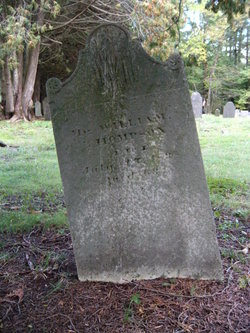
William Thompson
| Birth | : | 5 Apr 1775 Colrain, Franklin County, Massachusetts, USA |
| Death | : | 15 Jul 1838 Heath, Franklin County, Massachusetts, USA |
| Burial | : | Pleasant Hill Cemetery, Meno, Major County, USA |
| Coordinate | : | 36.3916800, -98.2027300 |
| Plot | : | Thompson Plot |
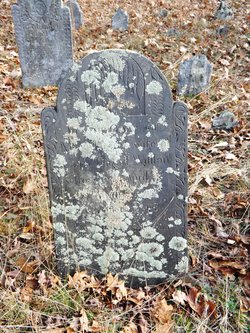
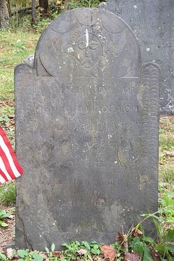
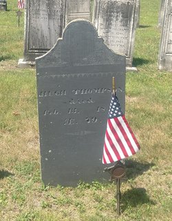
| Inscription | : | Mr. William Thompson died 15 July 1838 ae 63 |
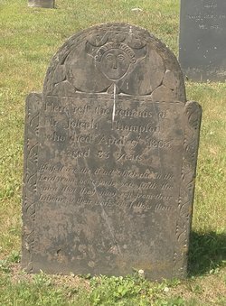
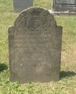
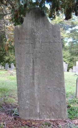
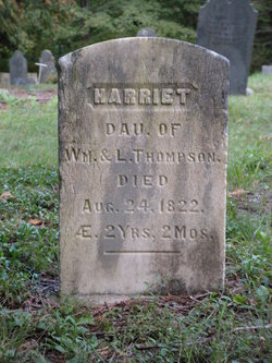
| Description | : | He married, first, intentions recorded at Colrain, Franklin Co., MA on Apr 4, 1808, Levina Caldwell. He married, second, Sarah Hurd of Bennington, Bennington Co., VT. Husband of Levina, father of Harriet who lived to 2 yrs 2 mos. Source: MA VR to 1850 Colrain & Heath |
frequently asked questions (FAQ):
-
Where is William Thompson's memorial?
William Thompson's memorial is located at: Pleasant Hill Cemetery, Meno, Major County, USA.
-
When did William Thompson death?
William Thompson death on 15 Jul 1838 in Heath, Franklin County, Massachusetts, USA
-
Where are the coordinates of the William Thompson's memorial?
Latitude: 36.3916800
Longitude: -98.2027300
Family Members:
Parent
Spouse
Siblings
Children
Flowers:
Nearby Cemetories:
1. Pleasant Hill Cemetery
Meno, Major County, USA
Coordinate: 36.3916800, -98.2027300
2. New Hopedale Mennonite Memorial Cemetery
Meno, Major County, USA
Coordinate: 36.3932600, -98.1756500
3. Era Cemetery
Meno, Major County, USA
Coordinate: 36.3478400, -98.2113300
4. Union Cemetery
Meno, Major County, USA
Coordinate: 36.4452400, -98.1756100
5. West New Hopedale Cemetery
Ringwood, Major County, USA
Coordinate: 36.4484700, -98.2482400
6. Free Home Cemetery
Ringwood, Major County, USA
Coordinate: 36.4049988, -98.2897034
7. Concord Cemetery
Meno, Major County, USA
Coordinate: 36.3250008, -98.1572037
8. Glenwood Cemetery
Ringwood, Major County, USA
Coordinate: 36.3177986, -98.2472000
9. Oakdale Cemetery
Hoopsville, Major County, USA
Coordinate: 36.3474620, -98.3011040
10. Zion Lutheran Cemetery
Lahoma, Garfield County, USA
Coordinate: 36.4258600, -98.0873000
11. Lahoma Mennonite Cemetery
Lahoma, Garfield County, USA
Coordinate: 36.4256400, -98.0864800
12. Saint Michael Cemetery
Goltry, Alfalfa County, USA
Coordinate: 36.4785995, -98.1399994
13. Baumagartner Cemetery
Lahoma, Garfield County, USA
Coordinate: 36.4194700, -98.0779100
14. Boyer Family Cemetery
Goltry, Alfalfa County, USA
Coordinate: 36.5033440, -98.1758660
15. Forrest Cemetery
Ringwood, Major County, USA
Coordinate: 36.3764000, -98.3455963
16. Sorge Cemetery
Major County, USA
Coordinate: 36.3046989, -98.3003006
17. Good Hope Cemetery
Helena, Alfalfa County, USA
Coordinate: 36.5078011, -98.2481003
18. Sunnyside Cemetery
Lahoma, Garfield County, USA
Coordinate: 36.3692017, -98.0500031
19. Ames Cemetery
Ames, Major County, USA
Coordinate: 36.2675018, -98.1761017
20. Rupert Cemetery
Helena, Alfalfa County, USA
Coordinate: 36.5069008, -98.2981033
21. Trinity Lutheran Cemetery
Enid, Garfield County, USA
Coordinate: 36.4195300, -98.0342500
22. Square Cedar Cemetery
Cleo Springs, Major County, USA
Coordinate: 36.4413986, -98.3713989
23. Karoma Cemetery
Goltry, Alfalfa County, USA
Coordinate: 36.5278015, -98.1389008
24. Rose Hill Cemetery
Carrier, Garfield County, USA
Coordinate: 36.4782753, -98.0322952

