
| Memorials | : | 0 |
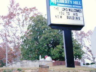
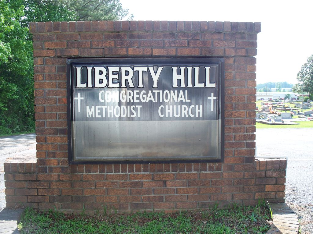
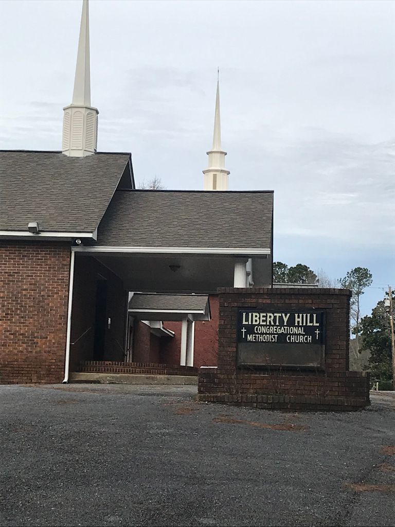
| Location | : | Chulafinnee, Cleburne County, USA |
| Coordinate | : | 33.5681000, -85.6650009 |
frequently asked questions (FAQ):
-
Where is Liberty Hill Methodist Church Cemetery?
Liberty Hill Methodist Church Cemetery is located at Chulafinnee, Cleburne County ,Alabama ,USA.
-
Liberty Hill Methodist Church Cemetery cemetery's updated grave count on graveviews.com?
0 memorials
-
Where are the coordinates of the Liberty Hill Methodist Church Cemetery?
Latitude: 33.5681000
Longitude: -85.6650009

Nearby Cemetories:
1. Bethlehem Primitive Baptist Church Cemetery
Heflin, Cleburne County, USA
Coordinate: 33.5766983, -85.6466980
2. Chulafinnee Baptist Church Cemetery
Chulafinnee, Cleburne County, USA
Coordinate: 33.5441380, -85.6465090
3. Chulafinnee Methodist Church Cemetery
Chulafinnee, Cleburne County, USA
Coordinate: 33.5405006, -85.6503983
4. Mountain Grove Baptist Church Cemetery
Heflin, Cleburne County, USA
Coordinate: 33.5615190, -85.6254730
5. Abel Cemetery
Abel, Cleburne County, USA
Coordinate: 33.5491982, -85.7121964
6. Pleasant Hill Baptist Church Cemetery
Heflin, Cleburne County, USA
Coordinate: 33.5555992, -85.6117020
7. Lighthouse Independent Baptist Cemetery
Hollis Crossroads, Cleburne County, USA
Coordinate: 33.5084980, -85.6543850
8. Greens Graveyard
Cleburne County, USA
Coordinate: 33.5603981, -85.5841980
9. Cedar Creek Cemetery
Heflin, Cleburne County, USA
Coordinate: 33.5752983, -85.5785980
10. Ragan Chapel Cemetery
Clay County, USA
Coordinate: 33.4942017, -85.6830978
11. New Harmony Cemetery
Heflin, Cleburne County, USA
Coordinate: 33.6180992, -85.5958023
12. Bethel Cemetery
Delta, Clay County, USA
Coordinate: 33.4893990, -85.6841965
13. Sunny Eve Cemetery
Oxford, Calhoun County, USA
Coordinate: 33.6087900, -85.7495000
14. Old Davistown Cemetery
Old Davisville, Calhoun County, USA
Coordinate: 33.6493988, -85.6635971
15. Oak Hill Missionary Baptist Church Cemetery
Heflin, Cleburne County, USA
Coordinate: 33.5318380, -85.5768970
16. Hepsabah Cemetery
Hollis Crossroads, Cleburne County, USA
Coordinate: 33.5008011, -85.6078033
17. Greens Chapel Church Cemetery
Heflin, Cleburne County, USA
Coordinate: 33.5593987, -85.5643997
18. Bethlehem Baptist Church Cemetery
Oxford, Calhoun County, USA
Coordinate: 33.5802994, -85.7696991
19. DeArmanville Methodist Church Cemetery
DeArmanville, Calhoun County, USA
Coordinate: 33.6258011, -85.7510986
20. Harmony Baptist Church Cemetery
Choccolocco, Calhoun County, USA
Coordinate: 33.6496500, -85.7164050
21. Calvary Baptist Church Cemetery
Heflin, Cleburne County, USA
Coordinate: 33.6432991, -85.6006012
22. New Prospect Cemetery
Calhoun County, USA
Coordinate: 33.6567001, -85.7003021
23. Beason Grove Cemetery
Cleburne County, USA
Coordinate: 33.5602989, -85.5528030
24. Open Door Baptist Church Cemetery
Delta, Clay County, USA
Coordinate: 33.4743860, -85.6932910