
| Memorials | : | 5 |
| Location | : | Trenton, Henry County, USA |
| Coordinate | : | 41.0180520, -91.6909500 |
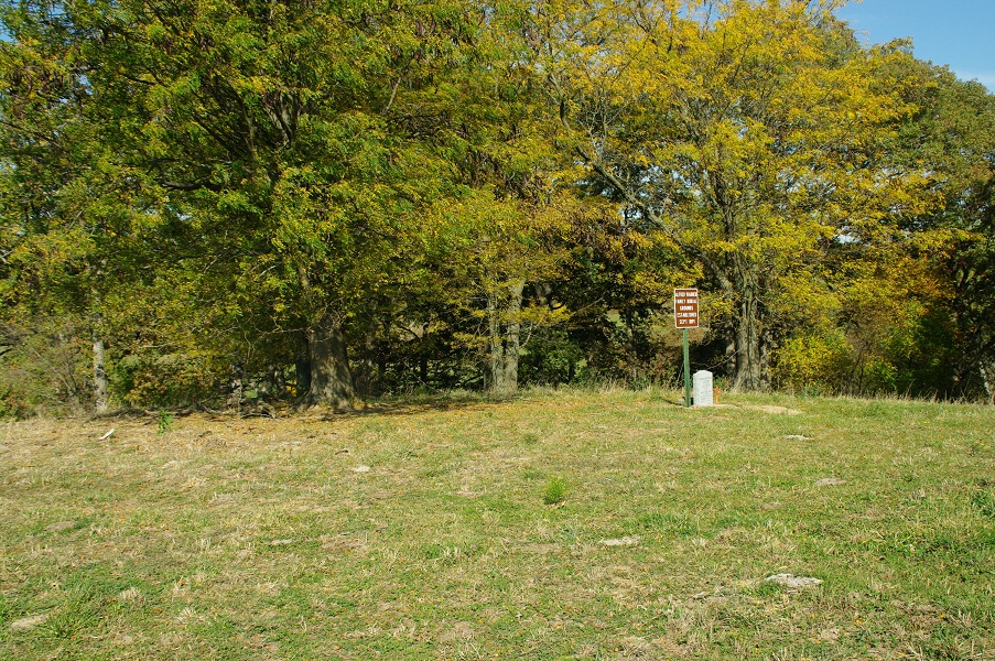
| Description | : | The Warner Family Burial Ground is located in Section 20 of Trenton Township, Henry County, Iowa. Legal description of the location is as follows: East1/2 SouthWest1/4 Section 20-72-7 of Trenton Township. Per information from the Alfred Warner Estate dated 4 January 1894: "reserving the family burying ground near the South East part of Said land--a lot 35 North and South and 25 East and West, lying and being situated in the County of Henry and State of Iowa". Travel west on 202nd Street from White Oak Road approximately 1/4 mile to the property owners house.... Read More |
frequently asked questions (FAQ):
-
Where is Alfred Warner Family Burial Ground?
Alfred Warner Family Burial Ground is located at Trenton, Henry County ,Iowa ,USA.
-
Alfred Warner Family Burial Ground cemetery's updated grave count on graveviews.com?
5 memorials
-
Where are the coordinates of the Alfred Warner Family Burial Ground?
Latitude: 41.0180520
Longitude: -91.6909500


Nearby Cemetories:
1. White Oak Cemetery
Trenton, Henry County, USA
Coordinate: 41.0293999, -91.6793976
2. Vorhies Cemetery
Rome, Henry County, USA
Coordinate: 41.0213230, -91.7134810
3. Messer Cemetery
Henry County, USA
Coordinate: 41.0419006, -91.6885986
4. Grant Cemetery
Rome, Henry County, USA
Coordinate: 40.9880981, -91.6992035
5. Roth Cemetery
Trenton, Henry County, USA
Coordinate: 41.0515000, -91.6772000
6. Scheffel Family Cemetery
Trenton, Henry County, USA
Coordinate: 41.0539030, -91.6921730
7. Smith Family Burial Site
Mount Pleasant, Henry County, USA
Coordinate: 40.9755300, -91.6987500
8. Hopkirk Family Cemetery
Lockridge, Jefferson County, USA
Coordinate: 40.9928820, -91.7396530
9. Sample Cemetery
Henry County, USA
Coordinate: 40.9812000, -91.6528000
10. Hopkirk Cemetery
Jefferson County, USA
Coordinate: 41.0029000, -91.7566000
11. Four Corners German Lutheran Cemetery
Lockridge, Jefferson County, USA
Coordinate: 41.0247002, -91.7605972
12. Lockridge Cemetery
Lockridge, Jefferson County, USA
Coordinate: 40.9952000, -91.7558500
13. Green Mound Cemetery
Henry County, USA
Coordinate: 41.0696983, -91.6652985
14. Richwoods South Cemetery
Henry County, USA
Coordinate: 41.0177000, -91.6115000
15. New Richwoods Cemetery
Trenton, Henry County, USA
Coordinate: 41.0270000, -91.6118000
16. Upland Cemetery
Lockridge, Jefferson County, USA
Coordinate: 40.9700012, -91.7461014
17. New Sweden United Methodist Church Cemetery
Lockridge, Jefferson County, USA
Coordinate: 41.0247002, -91.7752991
18. New Swedish Methodist Church Cemetery
Jefferson County, USA
Coordinate: 41.0037384, -91.7763519
19. New Sweden Lutheran Cemetery
Lockridge, Jefferson County, USA
Coordinate: 41.0238991, -91.7797012
20. New Sweden Baptist Cemetery
Jefferson County, USA
Coordinate: 41.0242004, -91.7857971
21. Robinson Pioneer Cemetery
Mount Pleasant, Henry County, USA
Coordinate: 40.9788610, -91.6060640
22. Traxler Cemetery
Mount Pleasant, Henry County, USA
Coordinate: 41.0413500, -91.5922000
23. Pleasant Point Cemetery
Henry County, USA
Coordinate: 40.9448000, -91.6545000
24. Oak Grove Cemetery
Mount Pleasant, Henry County, USA
Coordinate: 41.0323982, -91.5813522