
| Memorials | : | 5 |
| Location | : | Rome, Henry County, USA |
| Coordinate | : | 41.0213230, -91.7134810 |
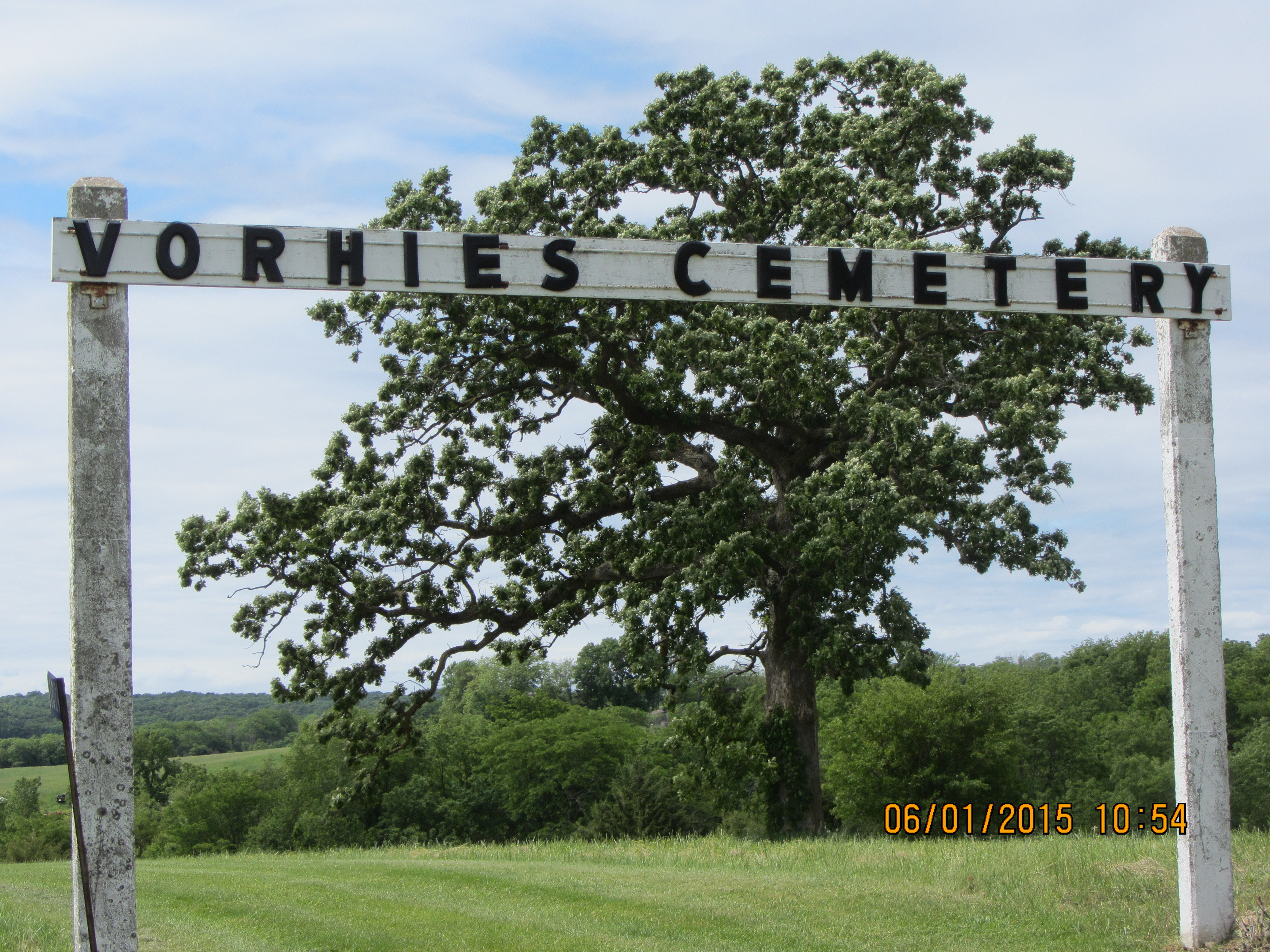
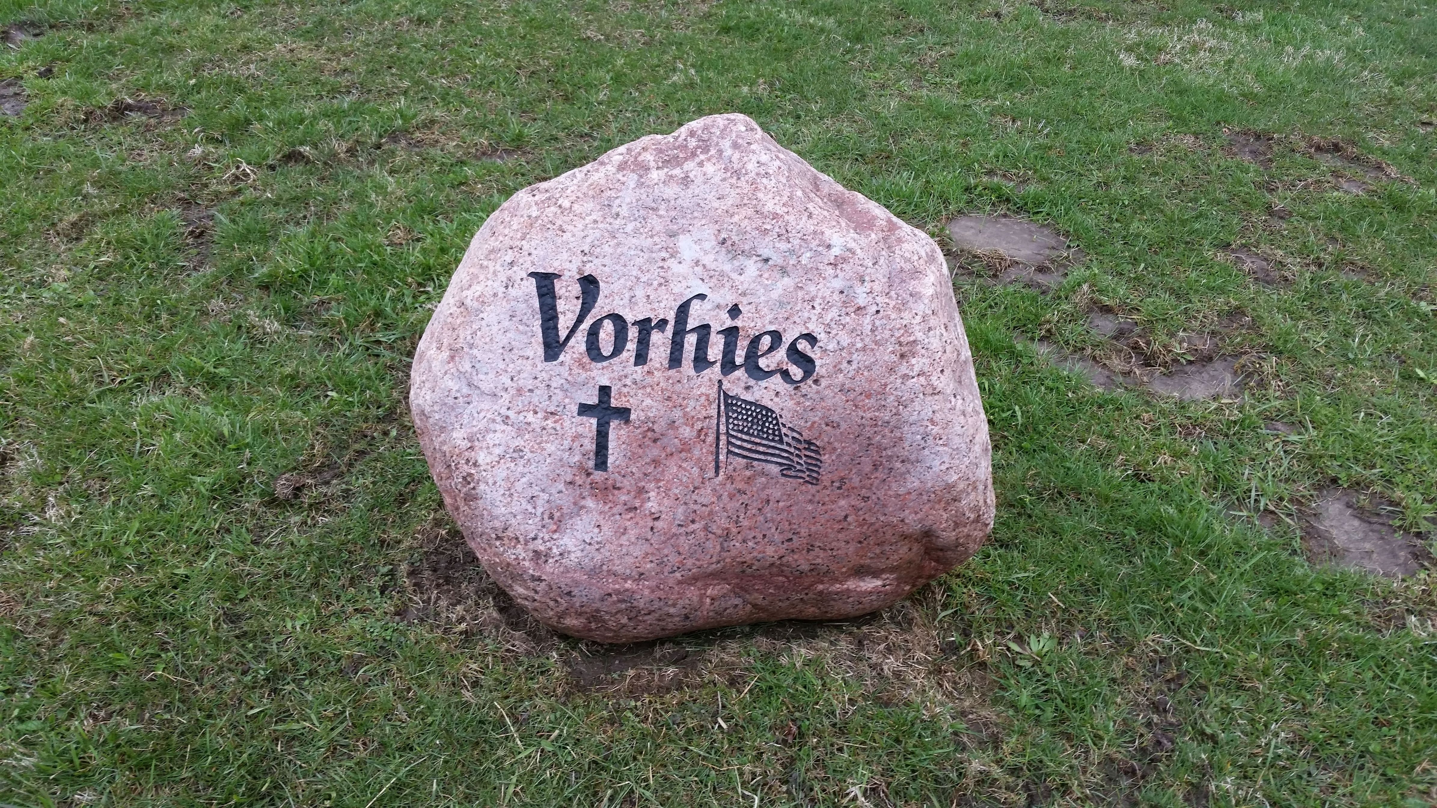
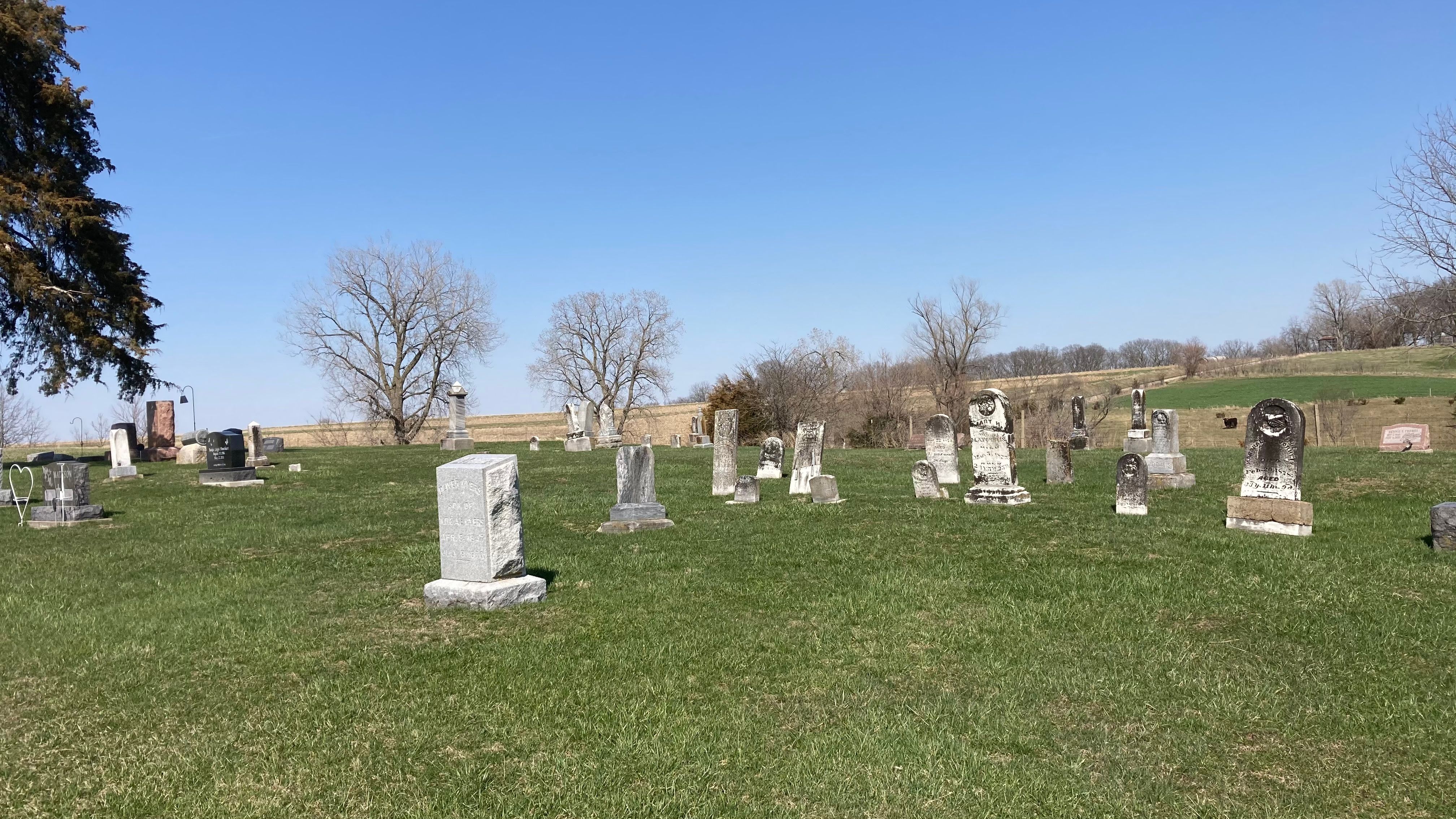
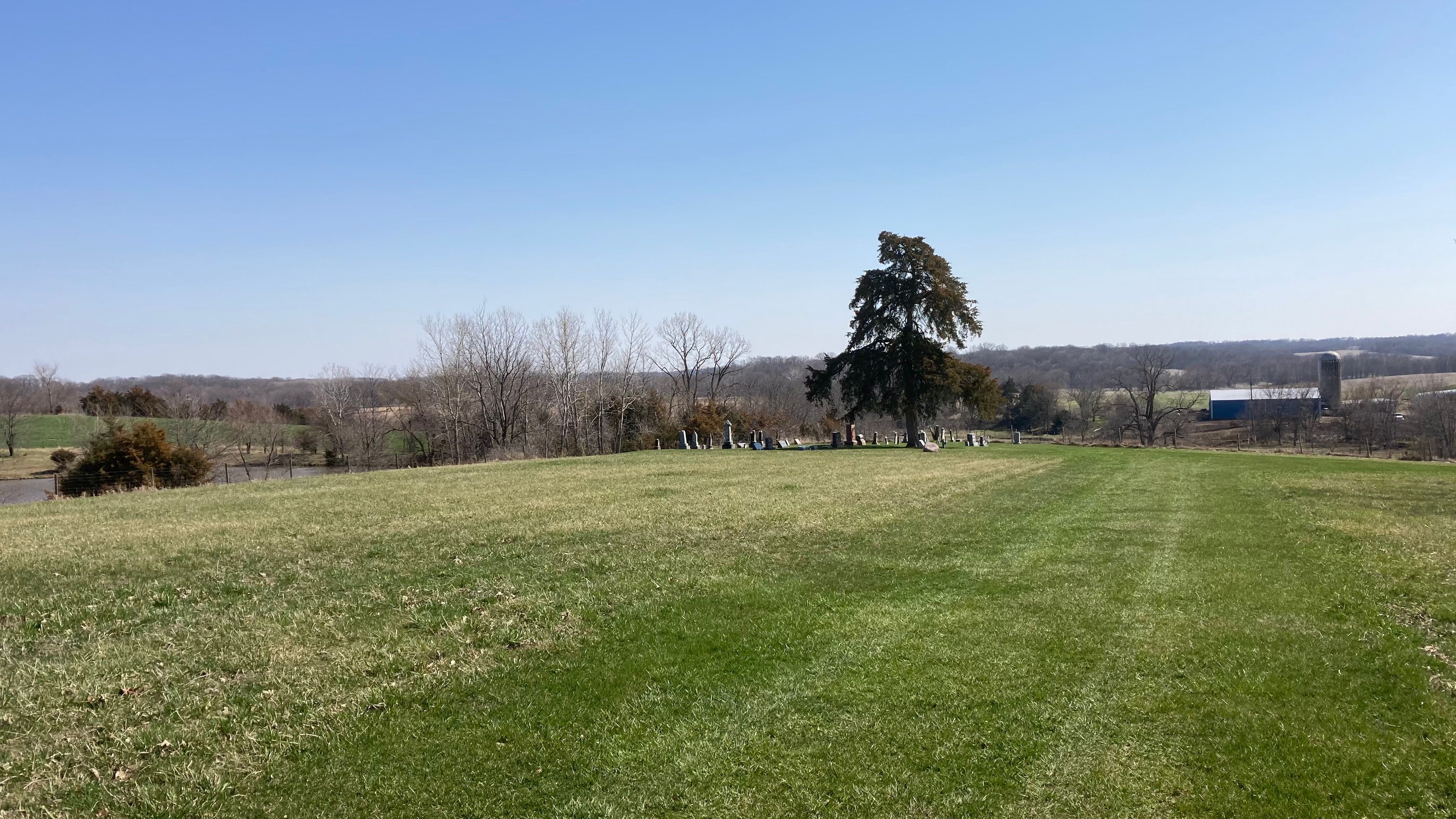
| Description | : | Cemetery is located on 197th Street in Trenton Township Section 19 Henry County, Iowa. This is just east of the Jefferson Henry County Line Road. On the GPS map it is listed as "Worhies" Cemetery but it is in fact the Vorhies Cemetery. There are several Vorhies family members buried there. |
frequently asked questions (FAQ):
-
Where is Vorhies Cemetery?
Vorhies Cemetery is located at Rome, Henry County ,Iowa ,USA.
-
Vorhies Cemetery cemetery's updated grave count on graveviews.com?
5 memorials
-
Where are the coordinates of the Vorhies Cemetery?
Latitude: 41.0213230
Longitude: -91.7134810
Nearby Cemetories:
1. Alfred Warner Family Burial Ground
Trenton, Henry County, USA
Coordinate: 41.0180520, -91.6909500
2. White Oak Cemetery
Trenton, Henry County, USA
Coordinate: 41.0293999, -91.6793976
3. Messer Cemetery
Henry County, USA
Coordinate: 41.0419006, -91.6885986
4. Hopkirk Family Cemetery
Lockridge, Jefferson County, USA
Coordinate: 40.9928820, -91.7396530
5. Grant Cemetery
Rome, Henry County, USA
Coordinate: 40.9880981, -91.6992035
6. Four Corners German Lutheran Cemetery
Lockridge, Jefferson County, USA
Coordinate: 41.0247002, -91.7605972
7. Scheffel Family Cemetery
Trenton, Henry County, USA
Coordinate: 41.0539030, -91.6921730
8. Hopkirk Cemetery
Jefferson County, USA
Coordinate: 41.0029000, -91.7566000
9. Roth Cemetery
Trenton, Henry County, USA
Coordinate: 41.0515000, -91.6772000
10. Lockridge Cemetery
Lockridge, Jefferson County, USA
Coordinate: 40.9952000, -91.7558500
11. New Sweden United Methodist Church Cemetery
Lockridge, Jefferson County, USA
Coordinate: 41.0247002, -91.7752991
12. Smith Family Burial Site
Mount Pleasant, Henry County, USA
Coordinate: 40.9755300, -91.6987500
13. New Sweden Lutheran Cemetery
Lockridge, Jefferson County, USA
Coordinate: 41.0238991, -91.7797012
14. New Swedish Methodist Church Cemetery
Jefferson County, USA
Coordinate: 41.0037384, -91.7763519
15. New Sweden Baptist Cemetery
Jefferson County, USA
Coordinate: 41.0242004, -91.7857971
16. Upland Cemetery
Lockridge, Jefferson County, USA
Coordinate: 40.9700012, -91.7461014
17. Green Mound Cemetery
Henry County, USA
Coordinate: 41.0696983, -91.6652985
18. Sample Cemetery
Henry County, USA
Coordinate: 40.9812000, -91.6528000
19. Bonnifield Cemetery
Lockridge, Jefferson County, USA
Coordinate: 40.9874992, -91.7966995
20. Peterson Cemetery
Lockridge, Jefferson County, USA
Coordinate: 41.0393982, -91.8075027
21. New Richwoods Cemetery
Trenton, Henry County, USA
Coordinate: 41.0270000, -91.6118000
22. Richwoods South Cemetery
Henry County, USA
Coordinate: 41.0177000, -91.6115000
23. Gilmer Cemetery
Jefferson County, USA
Coordinate: 40.9486008, -91.7564011
24. Hope Lutheran Cemetery
Germanville, Jefferson County, USA
Coordinate: 41.0943985, -91.7593994