
| Memorials | : | 2 |
| Location | : | Kilgore, Carroll County, USA |
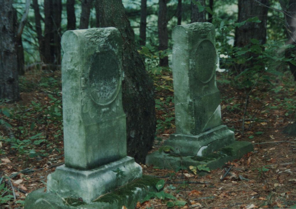
| Description | : | The Algeo Family Cemetery is in the southwest quarter of Section 14, Township 13, Range 5 of Loudon Township, Carroll County, Ohio. It is on a hill sheltered by mature pine trees and surrounded by cultivated fields a quarter mile west of State Route 9 and about half way between where State Route 9 intersects with Pledge Road (TR-370) and Plane Road (TR 369). It is on private property - 5162 Germano Road SE. The cemetery is located in Loudon Township, Carroll County, Ohio, and is # 13317 (Algeo Cemetery) in “Ohio Cemeteries 1803-2003”, compiled by the... Read More |
frequently asked questions (FAQ):
-
Where is Algeo Cemetery?
Algeo Cemetery is located at No GPS information available Add GPS5162 Germano Road SE Kilgore, Carroll County ,Ohio , 44615USA.
-
Algeo Cemetery cemetery's updated grave count on graveviews.com?
2 memorials
Nearby Cemetories:
1. Allen Memorial Cemetery
Carroll County, USA
Coordinate: 40.5133018, -81.1967010
2. Baxters Ridge Cemetery
Carroll County, USA
Coordinate: 40.6697006, -81.1235962
3. Big Spring Cemetery
Carroll County, USA
Coordinate: 40.5748980, -80.9652890
4. Bird Cemetery
Carroll County, USA
Coordinate: 40.6691400, -80.9653910
5. Brush Creek Baptist Cemetery
Carroll County, USA
6. Chestnut Knob Cemetery
Carroll County, USA
Coordinate: 40.5696983, -80.8728027
7. County Home Cemetery
Carroll County, USA
Coordinate: 40.5491982, -80.9336014
8. Downing Cemetery
Carroll County, USA
Coordinate: 40.5219002, -81.0053024
9. Glade Run Cemetery
East Township, Carroll County, USA
Coordinate: 40.5522003, -80.9749985
10. Glade Run Mennonite Church Cemetery
East Township, Carroll County, USA
Coordinate: 40.6094017, -81.3003006
11. Wanless Burial Site
East Township, Carroll County, USA
Coordinate: 40.6217003, -81.1994019
12. Bethel Cemetery
Leavittsville, Carroll County, USA
Coordinate: 40.5449982, -81.0033035
13. Leavittsville Cemetery
Leavittsville, Carroll County, USA
Coordinate: 40.5133018, -81.1967010
14. Devils Half Acre Cemetery
Oneida, Carroll County, USA
Coordinate: 40.6697006, -81.1235962
15. Scroggsfield Cemetery
Scroggsfield, Carroll County, USA
Coordinate: 40.5748980, -80.9652890
16. Upper Glade Run Cemetery
Carroll County, USA
Coordinate: 40.6691400, -80.9653910
17. Dunbar Cemetery
Wattsville, Carroll County, USA
18. Greenbrier-West Union Cemetery
Carroll County, USA
Coordinate: 40.5696983, -80.8728027
19. Chestnut Ridge Cemetery
Harlem Springs, Carroll County, USA
Coordinate: 40.5491982, -80.9336014
20. Harlem Springs Cemetery
Harlem Springs, Carroll County, USA
Coordinate: 40.5219002, -81.0053024
21. McGauran Cemetery
Harlem Springs, Carroll County, USA
Coordinate: 40.5522003, -80.9749985
22. Lindentree Cemetery
Carroll County, USA
Coordinate: 40.6094017, -81.3003006
23. Macedonia Cemetery
Carroll County, USA
Coordinate: 40.6217003, -81.1994019
24. Moorehead Cemetery
Carroll County, USA
Coordinate: 40.5449982, -81.0033035