
| Memorials | : | 2 |
| Location | : | Harlem Springs, Carroll County, USA |
| Coordinate | : | 40.5522003, -80.9749985 |
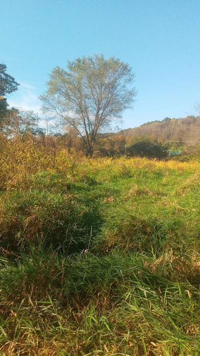
| Description | : | The cemetery is located west of Chase Road SE (County Road 66) about 900 feer southeast of its junction with Apollo Road SE (County Road 12). The cemetery is located in Lee Township, Carroll County, Ohio, and is # 13315 (McGavran Cemetery / McGavren Cemetery / McGauran Cemetery / Grave Cemetery) in “Ohio Cemeteries 1803-2003”, compiled by the Ohio Genealogical Society. The U.S. Geological Survey (USGS) Geographic Names Information System (GNIS) feature ID for the cemetery is 1052469 (McGauran Cemetery). |
frequently asked questions (FAQ):
-
Where is McGauran Cemetery?
McGauran Cemetery is located at Chase Road SE (County Road 66) Harlem Springs, Carroll County ,Ohio , 44615USA.
-
McGauran Cemetery cemetery's updated grave count on graveviews.com?
0 memorials
-
Where are the coordinates of the McGauran Cemetery?
Latitude: 40.5522003
Longitude: -80.9749985
Nearby Cemetories:
1. Palmer Cemetery
Fox Township, Carroll County, USA
Coordinate: 40.5578003, -80.9764023
2. Moorehead Cemetery
Carroll County, USA
Coordinate: 40.5449982, -81.0033035
3. Scroggsfield Cemetery
Scroggsfield, Carroll County, USA
Coordinate: 40.5748980, -80.9652890
4. Downing Cemetery
Carroll County, USA
Coordinate: 40.5567017, -81.0117035
5. Chestnut Ridge Cemetery
Harlem Springs, Carroll County, USA
Coordinate: 40.5491982, -80.9336014
6. Denver George Haddock Family Cemetery
Carrollton, Carroll County, USA
Coordinate: 40.5443880, -81.0227370
7. Harlem Springs Cemetery
Harlem Springs, Carroll County, USA
Coordinate: 40.5219002, -81.0053024
8. Wells-Jackman Cemetery
Carroll County, USA
Coordinate: 40.5177994, -80.9522018
9. Green Hill Cemetery
Carroll County, USA
Coordinate: 40.5303001, -81.0246964
10. Lee Cemetery
Carroll County, USA
Coordinate: 40.5391998, -81.0314026
11. Mount Olivet Cemetery
Carroll County, USA
Coordinate: 40.5905991, -81.0081024
12. Crawford Cemetery
Lee Township, Carroll County, USA
Coordinate: 40.4935030, -80.9578650
13. Snyder Cemetery
Carroll County, USA
Coordinate: 40.6169014, -80.9766998
14. Corinth-Mechanicstown Cemetery
Mechanicstown, Carroll County, USA
Coordinate: 40.6156006, -80.9578018
15. Bergholz Cemetery
Bergholz, Jefferson County, USA
Coordinate: 40.5155983, -80.8955994
16. Simmons Ridge Cemetery
Carroll County, USA
Coordinate: 40.4757996, -80.9621964
17. Brush Creek Baptist Cemetery
Carroll County, USA
Coordinate: 40.5624008, -80.8715973
18. Greenbrier-West Union Cemetery
Carroll County, USA
Coordinate: 40.5696983, -80.8728027
19. Amsterdam Catholic Cemetery
Amsterdam, Jefferson County, USA
Coordinate: 40.4899390, -80.9093740
20. Grandview Cemetery
Carrollton, Carroll County, USA
Coordinate: 40.5694008, -81.0828018
21. Westview Cemetery
Carrollton, Carroll County, USA
Coordinate: 40.5663986, -81.0852966
22. Aller Family Cemetery
Carrollton, Carroll County, USA
Coordinate: 40.5879760, -81.0771540
23. Amsterdam Cemetery
Loudon Township, Carroll County, USA
Coordinate: 40.4752998, -80.9250031
24. Saint Joseph Cemetery
Amsterdam, Jefferson County, USA
Coordinate: 40.4756230, -80.9229770