
| Memorials | : | 271 |
| Location | : | Wimborne St Giles, North Dorset District, England |
| Coordinate | : | 50.9123200, -1.9673800 |
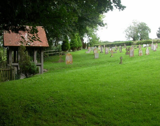
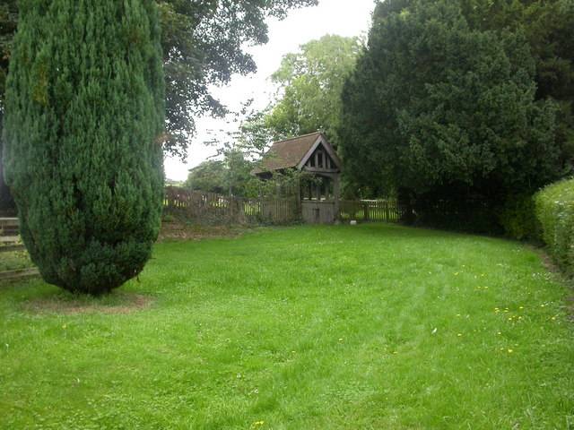
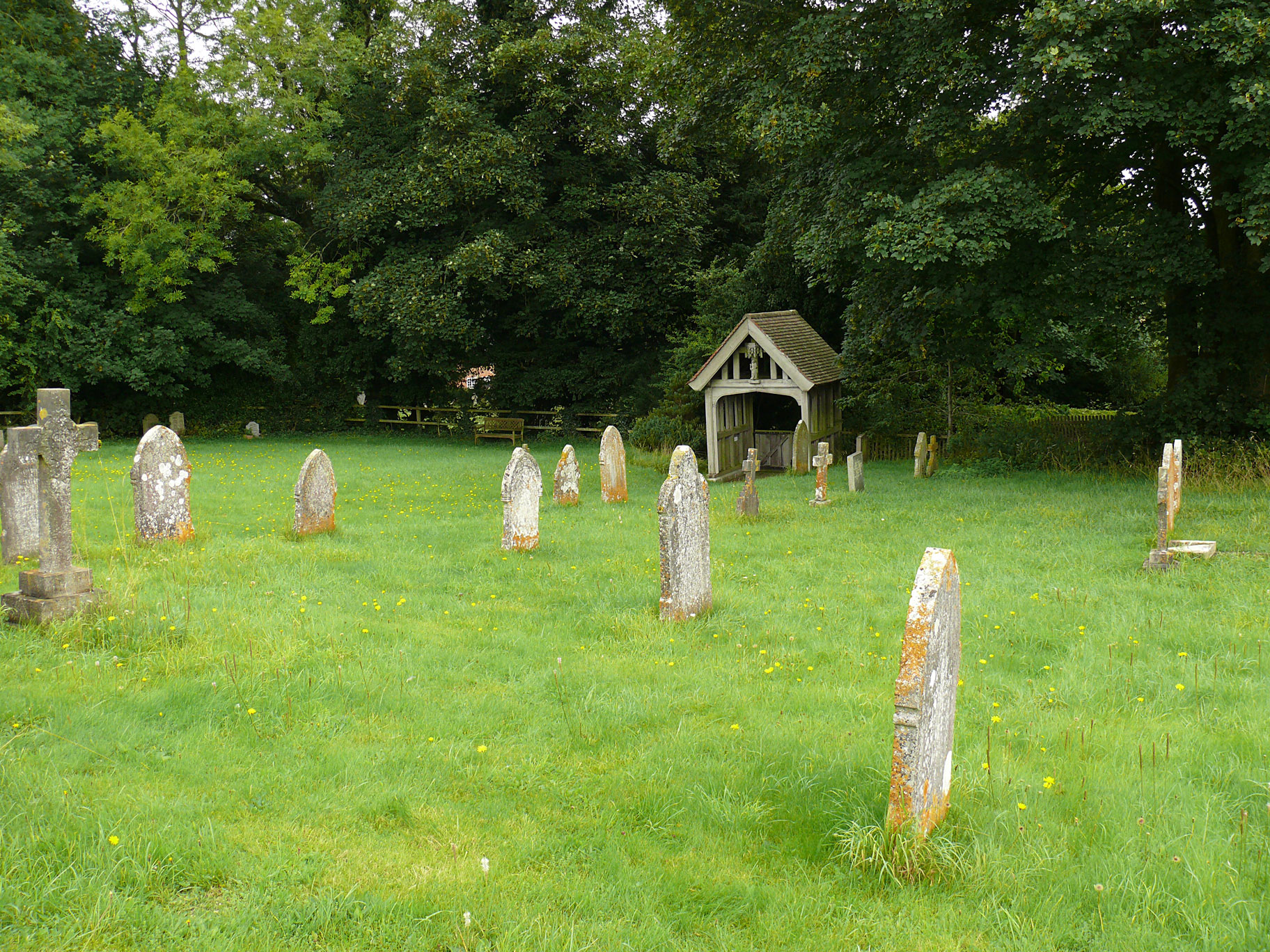
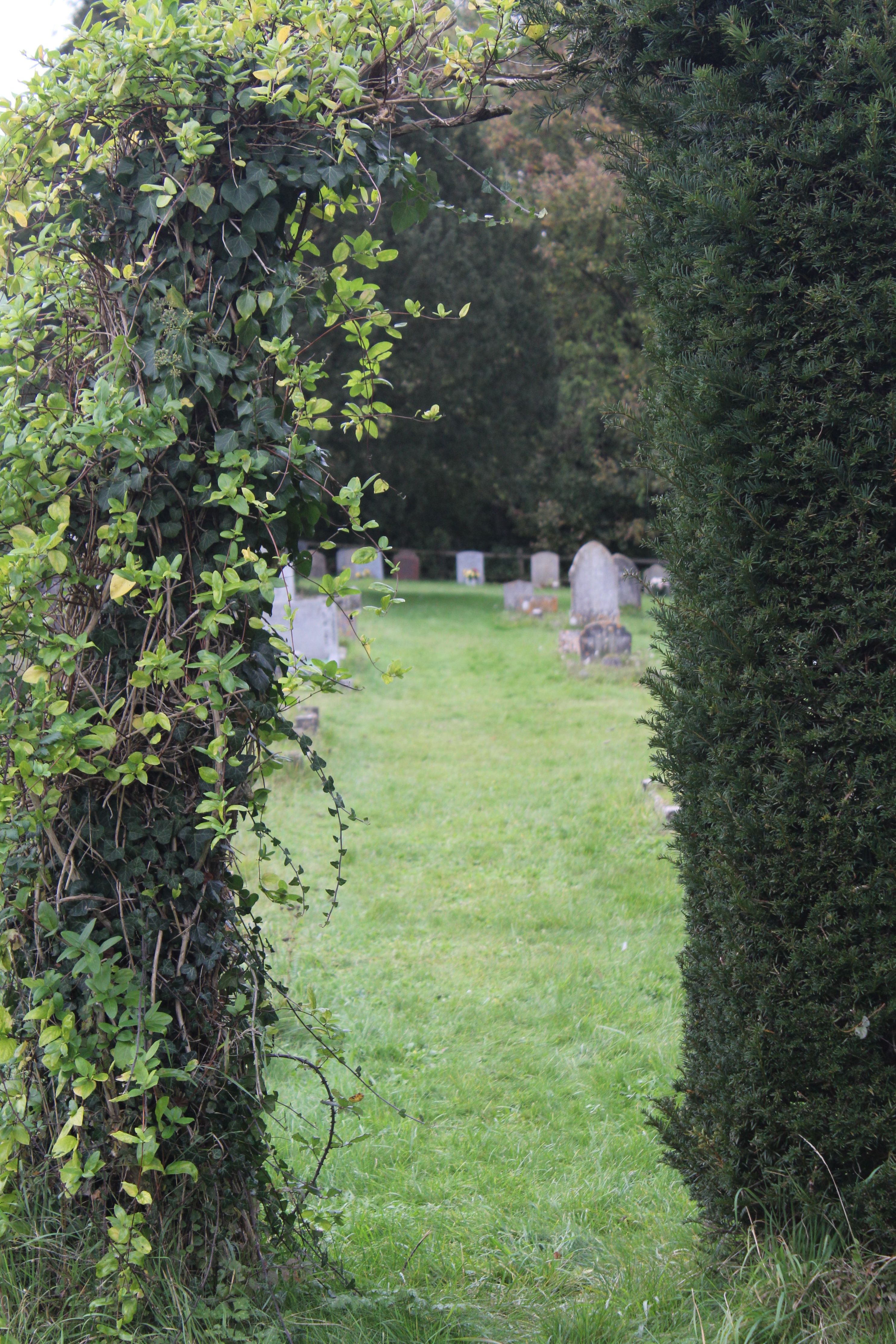
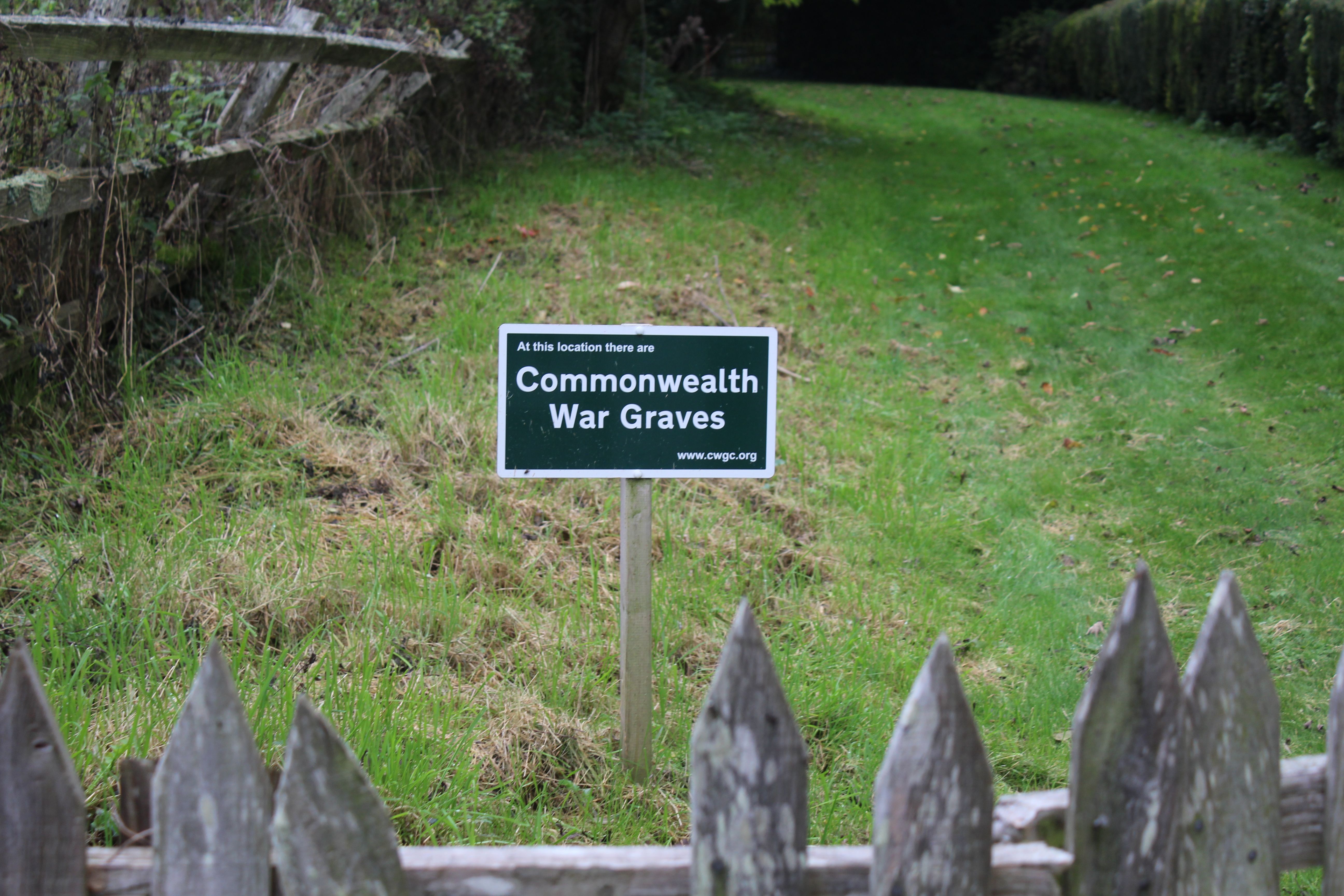
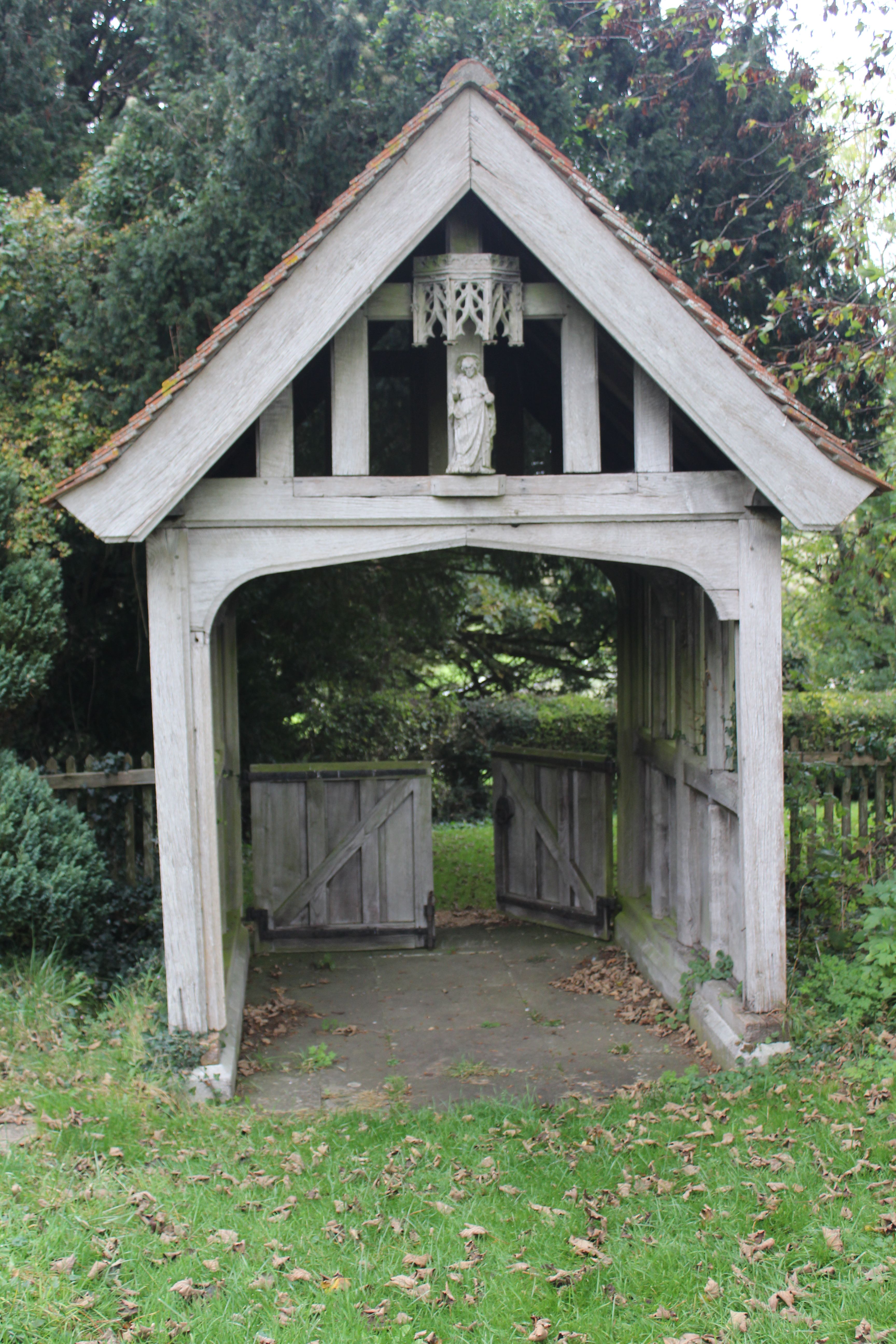
| Description | : | History of All Hallows Church and Cemetery The church at All Hallows is mentioned in the Domesday Book, it existed until 1742 and was the principal church for the area. Until this time there was only a small chapel at Wimborne St Giles village. In the 17 th century Sir Anthony Ashley Cooper, 1 st Earl of Shaftesbury, built a new country house close to Wimborne St Giles and the writing was on the wall for All Hallows. In 1672 Sir Anthony wrote to the Keeper of the Great Seal, offering to give King Charles II a living of his choice... Read More |
frequently asked questions (FAQ):
-
Where is All Hallows Old Cemetery?
All Hallows Old Cemetery is located at Wimborne St Giles, North Dorset District ,Dorset ,England.
-
All Hallows Old Cemetery cemetery's updated grave count on graveviews.com?
271 memorials
-
Where are the coordinates of the All Hallows Old Cemetery?
Latitude: 50.9123200
Longitude: -1.9673800
Nearby Cemetories:
1. Wimborne St Giles Churchyard
Wimborne St Giles, North Dorset District, England
Coordinate: 50.9071030, -1.9560130
2. Gussage All Saints Churchyard
Gussage All Saints, East Dorset District, England
Coordinate: 50.8966570, -2.0031990
3. Ss Mary & Bartholomew Churchyard
Cranborne, East Dorset District, England
Coordinate: 50.9187790, -1.9237020
4. St Nicholas
Edmondsham, East Dorset District, England
Coordinate: 50.9032700, -1.9143680
5. Gussage St Michael
Gussage St Michael, East Dorset District, England
Coordinate: 50.9016920, -2.0214940
6. The Church of the Ascension Churchyard
Woodlands, East Dorset District, England
Coordinate: 50.8806164, -1.9291594
7. Crichel House and Garden
Witchampton, East Dorset District, England
Coordinate: 50.8755820, -2.0072820
8. St. Mary's Churchyard
Cranborne, East Dorset District, England
Coordinate: 50.8741910, -2.0083630
9. St. Wolfrida's Churchyard
Horton, East Dorset District, England
Coordinate: 50.8665000, -1.9585000
10. St Mary's Churchyard - Long Crichel
Tarrant Hinton, North Dorset District, England
Coordinate: 50.8927141, -2.0355435
11. St. Rumbold's Churchyard
Pentridge, East Dorset District, England
Coordinate: 50.9598410, -1.9537360
12. St. Mary's Churchyard
Sixpenny Handley, East Dorset District, England
Coordinate: 50.9552100, -2.0076000
13. All Saints Churchyard
Chalbury, East Dorset District, England
Coordinate: 50.8610620, -1.9750690
14. St. John The Evangelist Church
Hinton Martell, East Dorset District, England
Coordinate: 50.8551000, -1.9814000
15. All Saints Churchyard
Witchampton, East Dorset District, England
Coordinate: 50.8574650, -2.0178710
16. Witchampton Methodist Churchyard
Witchampton, East Dorset District, England
Coordinate: 50.8574990, -2.0205250
17. St. Michael and All Angels Churchyard
Verwood, East Dorset District, England
Coordinate: 50.8778860, -1.8808700
18. St Mary Churchyard
Chettle, North Dorset District, England
Coordinate: 50.9191230, -2.0700510
19. St. James' Churchyard
Alderholt, North Dorset District, England
Coordinate: 50.9127470, -1.8525560
20. All Saints Churchyard
Martin, New Forest District, England
Coordinate: 50.9753760, -1.9009220
21. St. James' Churchyard
Holt, East Dorset District, England
Coordinate: 50.8347020, -1.9585820
22. All Saints Churchyard
Tarrant Monkton, North Dorset District, England
Coordinate: 50.8789530, -2.0810240
23. St. Mary's Churchyard
Tarrant Hinton, North Dorset District, England
Coordinate: 50.8998000, -2.0919000
24. St George Churchyard
Damerham, New Forest District, England
Coordinate: 50.9416320, -1.8483240