
| Memorials | : | 0 |
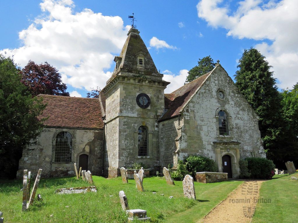
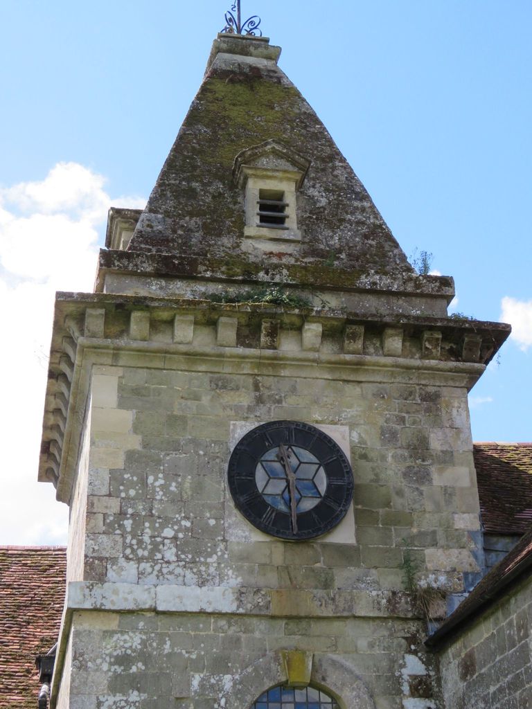
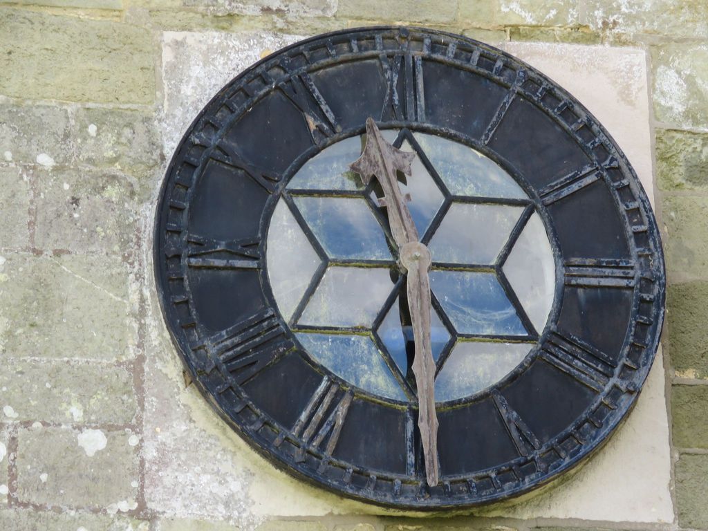
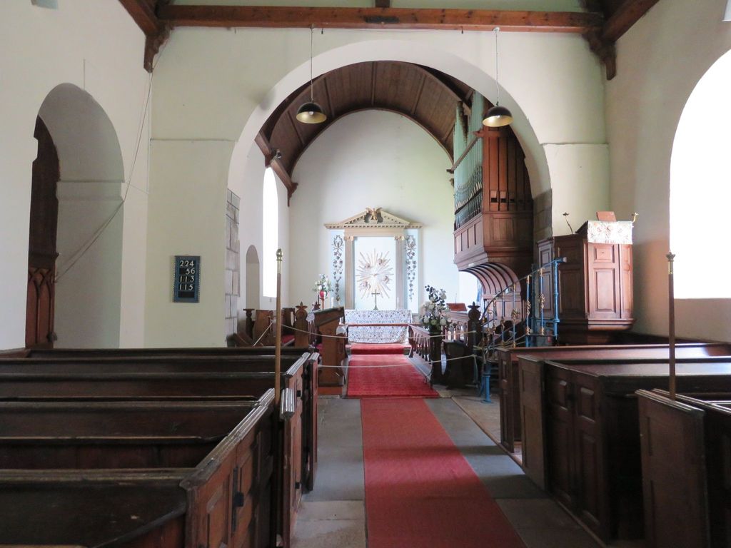
| Location | : | Horton, East Dorset District, England |
| Coordinate | : | 50.8665000, -1.9585000 |
frequently asked questions (FAQ):
-
Where is St. Wolfrida's Churchyard?
St. Wolfrida's Churchyard is located at Horton Village Horton, East Dorset District ,Dorset , BH21 7JEEngland.
-
St. Wolfrida's Churchyard cemetery's updated grave count on graveviews.com?
0 memorials
-
Where are the coordinates of the St. Wolfrida's Churchyard?
Latitude: 50.8665000
Longitude: -1.9585000
Nearby Cemetories:
1. All Saints Churchyard
Chalbury, East Dorset District, England
Coordinate: 50.8610620, -1.9750690
2. St. John The Evangelist Church
Hinton Martell, East Dorset District, England
Coordinate: 50.8551000, -1.9814000
3. The Church of the Ascension Churchyard
Woodlands, East Dorset District, England
Coordinate: 50.8806164, -1.9291594
4. St. James' Churchyard
Holt, East Dorset District, England
Coordinate: 50.8347020, -1.9585820
5. Crichel House and Garden
Witchampton, East Dorset District, England
Coordinate: 50.8755820, -2.0072820
6. St. Mary's Churchyard
Cranborne, East Dorset District, England
Coordinate: 50.8741910, -2.0083630
7. All Saints Churchyard
Witchampton, East Dorset District, England
Coordinate: 50.8574650, -2.0178710
8. St. Kenelm Churchyard
Hinton Parva, East Dorset District, England
Coordinate: 50.8336300, -1.9949200
9. Witchampton Methodist Churchyard
Witchampton, East Dorset District, England
Coordinate: 50.8574990, -2.0205250
10. Wimborne St Giles Churchyard
Wimborne St Giles, North Dorset District, England
Coordinate: 50.9071030, -1.9560130
11. Gussage All Saints Churchyard
Gussage All Saints, East Dorset District, England
Coordinate: 50.8966570, -2.0031990
12. St Nicholas
Edmondsham, East Dorset District, England
Coordinate: 50.9032700, -1.9143680
13. All Hallows Old Cemetery
Wimborne St Giles, North Dorset District, England
Coordinate: 50.9123200, -1.9673800
14. St. Michael and All Angels Churchyard
Verwood, East Dorset District, England
Coordinate: 50.8778860, -1.8808700
15. Gussage St Michael
Gussage St Michael, East Dorset District, England
Coordinate: 50.9016920, -2.0214940
16. St Mary's Churchyard - Long Crichel
Tarrant Hinton, North Dorset District, England
Coordinate: 50.8927141, -2.0355435
17. St Michael and All Angels Churchyard
Colehill, East Dorset District, England
Coordinate: 50.8104720, -1.9661400
18. Ss Mary & Bartholomew Churchyard
Cranborne, East Dorset District, England
Coordinate: 50.9187790, -1.9237020
19. St. Mary the Virgin Church Cemetery
West Moors, East Dorset District, England
Coordinate: 50.8299273, -1.8895069
20. Poole and Wimborne Woodland Burial Ground
Wimborne, East Dorset District, England
Coordinate: 50.8097500, -1.9745150
21. Woodland Burial Ground
Colehill, East Dorset District, England
Coordinate: 50.8088100, -1.9737900
22. Wimborne Cemetery
Wimborne, East Dorset District, England
Coordinate: 50.8040910, -1.9942650
23. Verwood Cemetery
Verwood, East Dorset District, England
Coordinate: 50.8709100, -1.8510700
24. St. Cuthberga Churchyard
Wimborne Minster, East Dorset District, England
Coordinate: 50.7989260, -1.9880560