
| Memorials | : | 5 |
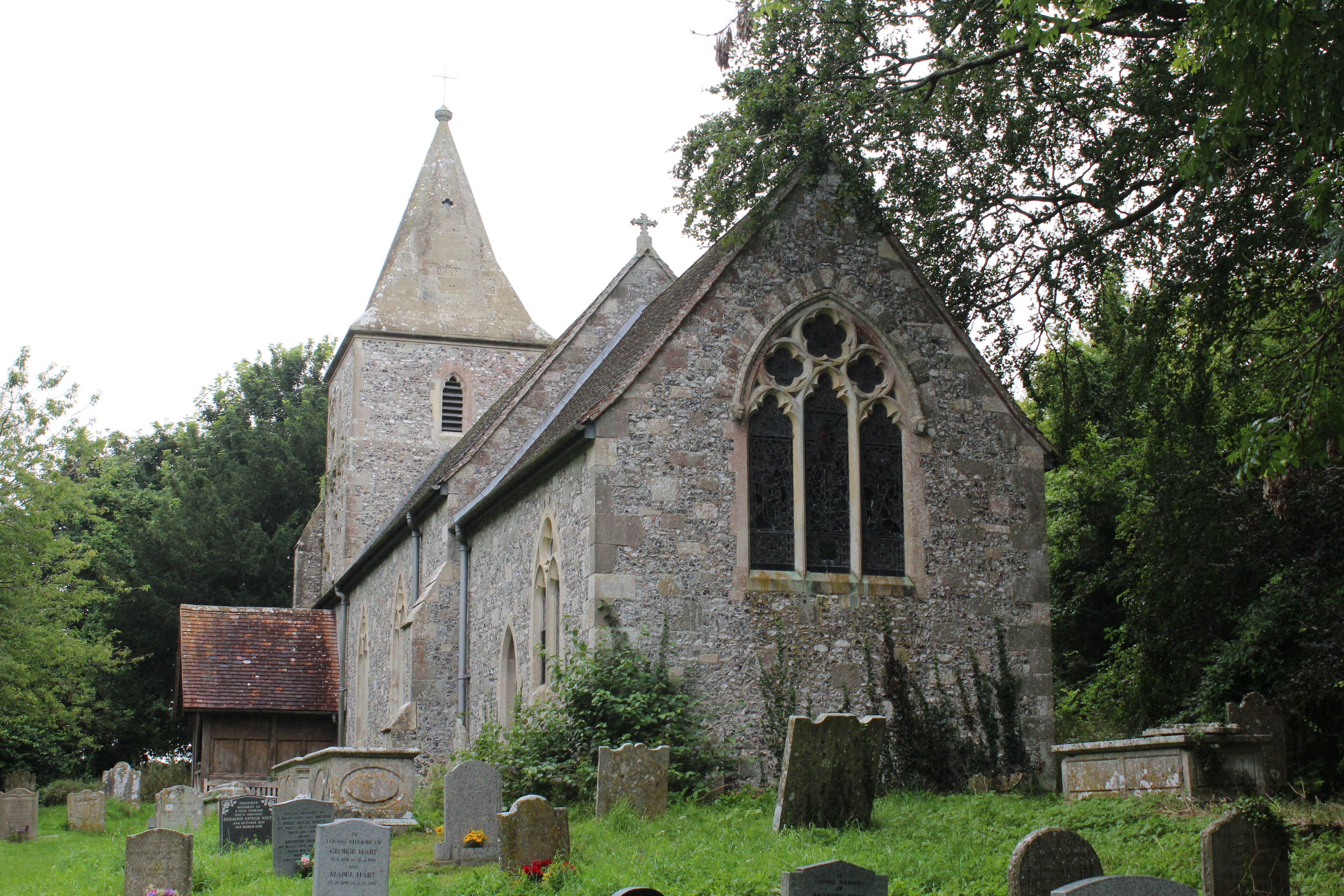
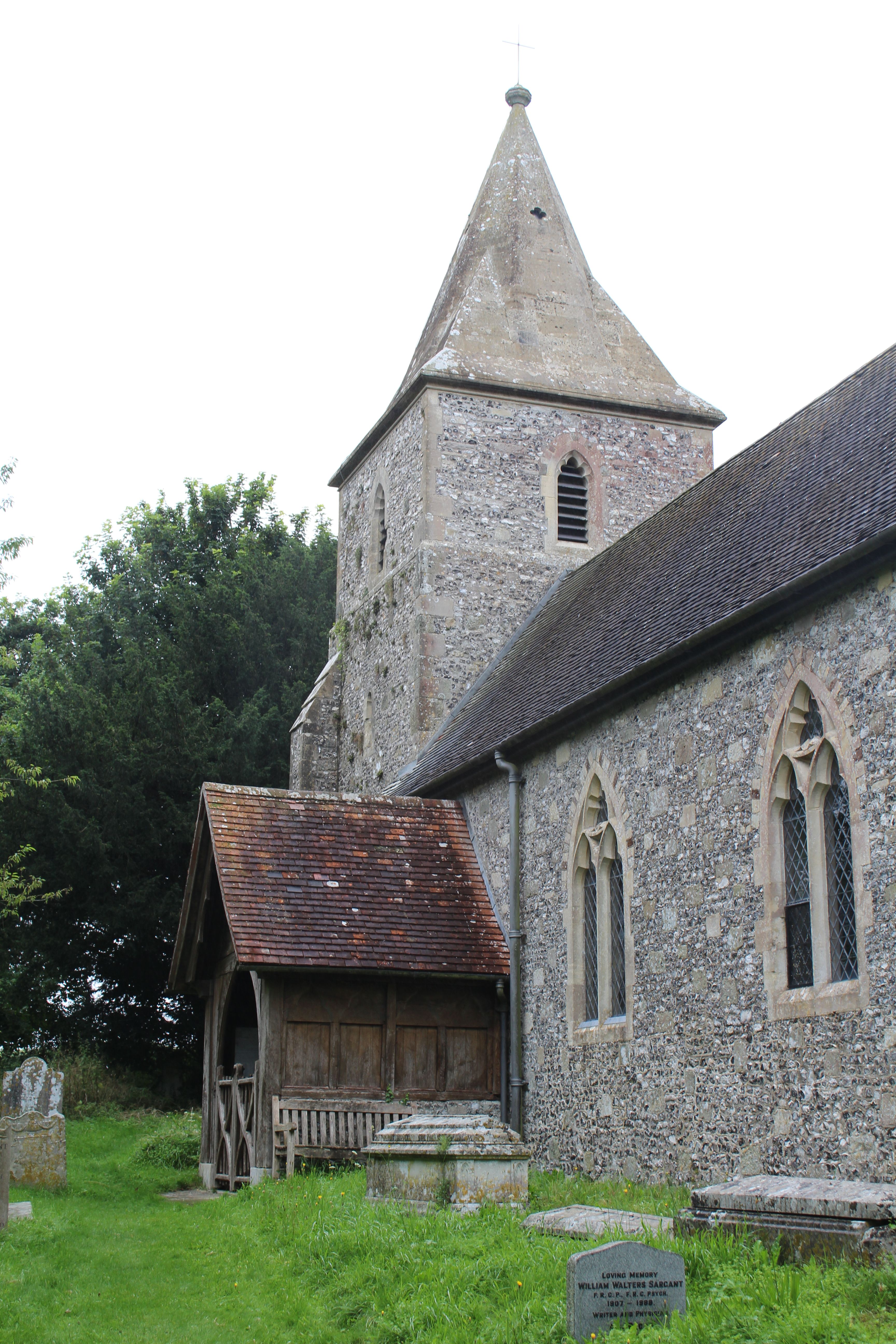
| Location | : | Pentridge, East Dorset District, England |
| Coordinate | : | 50.9598410, -1.9537360 |
frequently asked questions (FAQ):
-
Where is St. Rumbold's Churchyard?
St. Rumbold's Churchyard is located at Pentridge, East Dorset District ,Dorset ,England.
-
St. Rumbold's Churchyard cemetery's updated grave count on graveviews.com?
5 memorials
-
Where are the coordinates of the St. Rumbold's Churchyard?
Latitude: 50.9598410
Longitude: -1.9537360
Nearby Cemetories:
1. St. Mary's Churchyard
Sixpenny Handley, East Dorset District, England
Coordinate: 50.9552100, -2.0076000
2. All Saints Churchyard
Martin, New Forest District, England
Coordinate: 50.9753760, -1.9009220
3. Ss Mary & Bartholomew Churchyard
Cranborne, East Dorset District, England
Coordinate: 50.9187790, -1.9237020
4. All Hallows Old Cemetery
Wimborne St Giles, North Dorset District, England
Coordinate: 50.9123200, -1.9673800
5. Holy Trinity Churchyard
Bowerchalke, Wiltshire Unitary Authority, England
Coordinate: 51.0064450, -1.9747320
6. Wimborne St Giles Churchyard
Wimborne St Giles, North Dorset District, England
Coordinate: 50.9071030, -1.9560130
7. St Nicholas
Edmondsham, East Dorset District, England
Coordinate: 50.9032700, -1.9143680
8. All Saints Churchyard
Broad Chalke, Wiltshire Unitary Authority, England
Coordinate: 51.0274220, -1.9433110
9. St George Churchyard
Damerham, New Forest District, England
Coordinate: 50.9416320, -1.8483240
10. Gussage All Saints Churchyard
Gussage All Saints, East Dorset District, England
Coordinate: 50.8966570, -2.0031990
11. Gussage St Michael
Gussage St Michael, East Dorset District, England
Coordinate: 50.9016920, -2.0214940
12. St. Andrew's Churchyard
Rockbourne, New Forest District, England
Coordinate: 50.9640400, -1.8369600
13. St. Mary's Churchyard
Alvediston, Wiltshire Unitary Authority, England
Coordinate: 51.0149340, -2.0344800
14. St. James' Churchyard
Alderholt, North Dorset District, England
Coordinate: 50.9127470, -1.8525560
15. The Church of the Ascension Churchyard
Woodlands, East Dorset District, England
Coordinate: 50.8806164, -1.9291594
16. St Mary Churchyard
Chettle, North Dorset District, England
Coordinate: 50.9191230, -2.0700510
17. St Mary's Churchyard - Long Crichel
Tarrant Hinton, North Dorset District, England
Coordinate: 50.8927141, -2.0355435
18. St. Leonard's Churchyard
Whitsbury, New Forest District, England
Coordinate: 50.9713900, -1.8176000
19. St. John the Baptist Churchyard
Berwick St John, Wiltshire Unitary Authority, England
Coordinate: 51.0015430, -2.0796670
20. St. John the Baptist Churchyard
Bishopstone (Salisbury), Wiltshire Unitary Authority, England
Coordinate: 51.0379160, -1.8812960
21. Crichel House and Garden
Witchampton, East Dorset District, England
Coordinate: 50.8755820, -2.0072820
22. Alderholt Chapelyard
Alderholt, North Dorset District, England
Coordinate: 50.9164000, -1.8259524
23. St. Mary's Churchyard
Cranborne, East Dorset District, England
Coordinate: 50.8741910, -2.0083630
24. St. Wolfrida's Churchyard
Horton, East Dorset District, England
Coordinate: 50.8665000, -1.9585000