| Memorials | : | 9 |
| Location | : | London, City of London, England |
| Coordinate | : | 51.5115776, -0.0804890 |
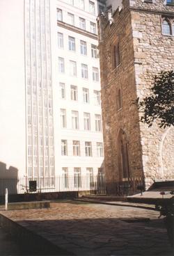
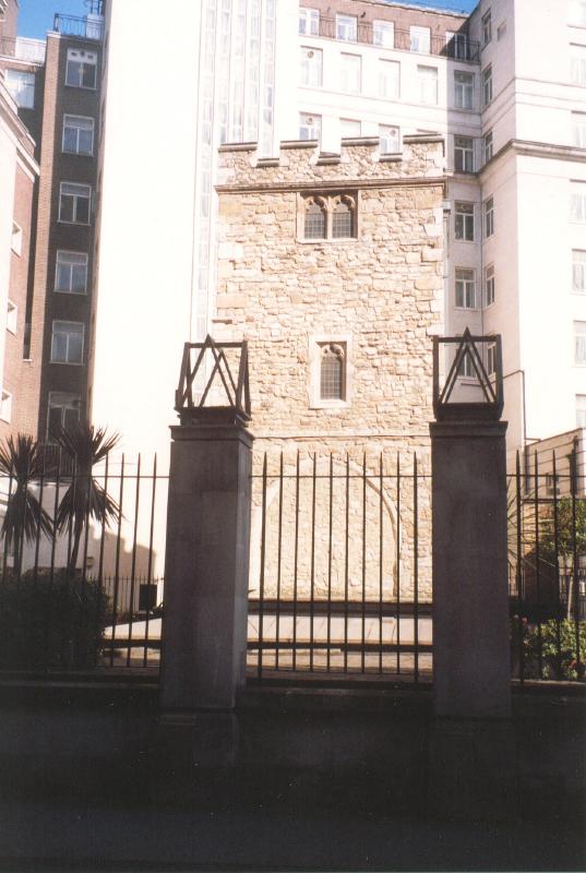
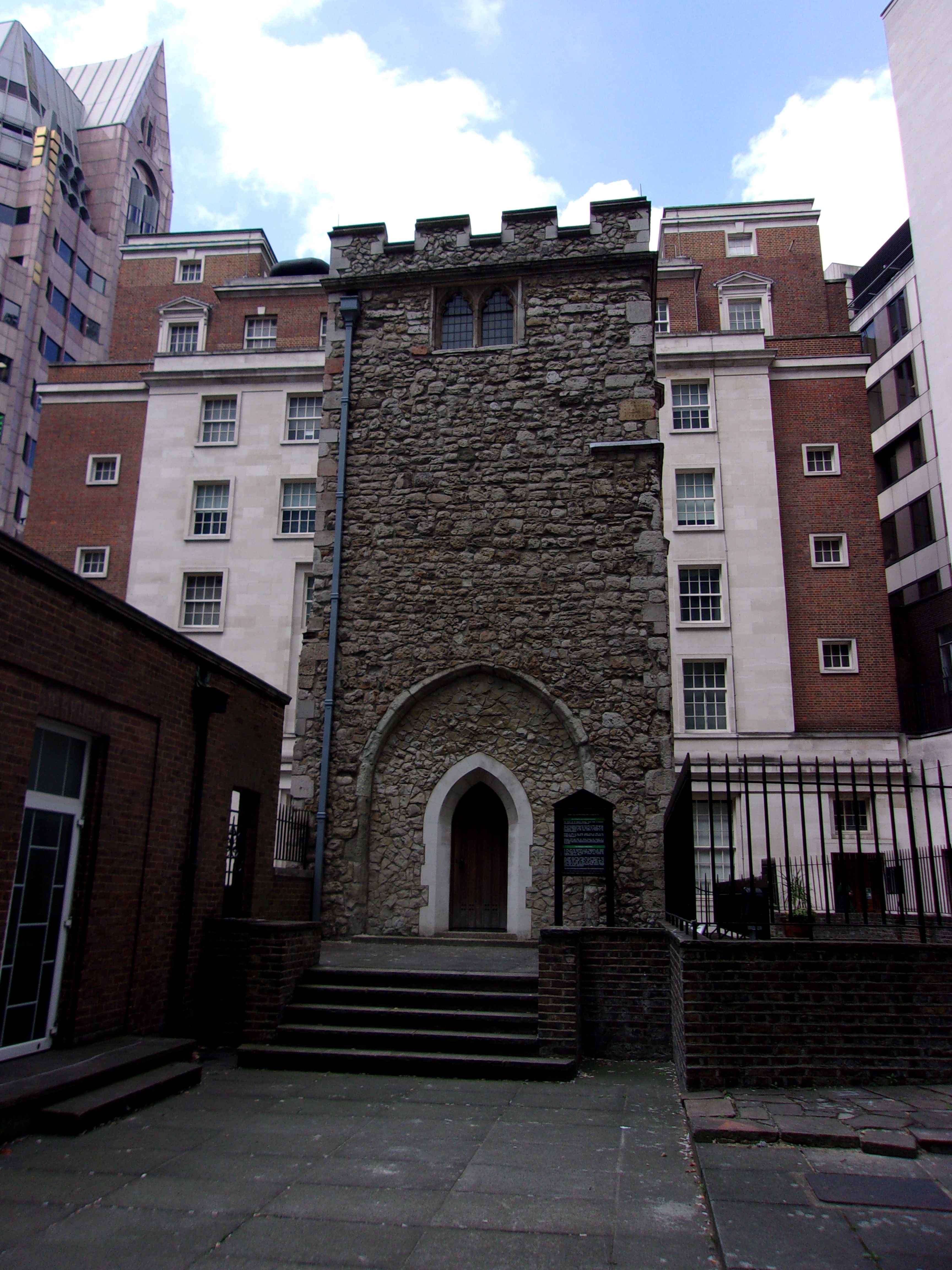
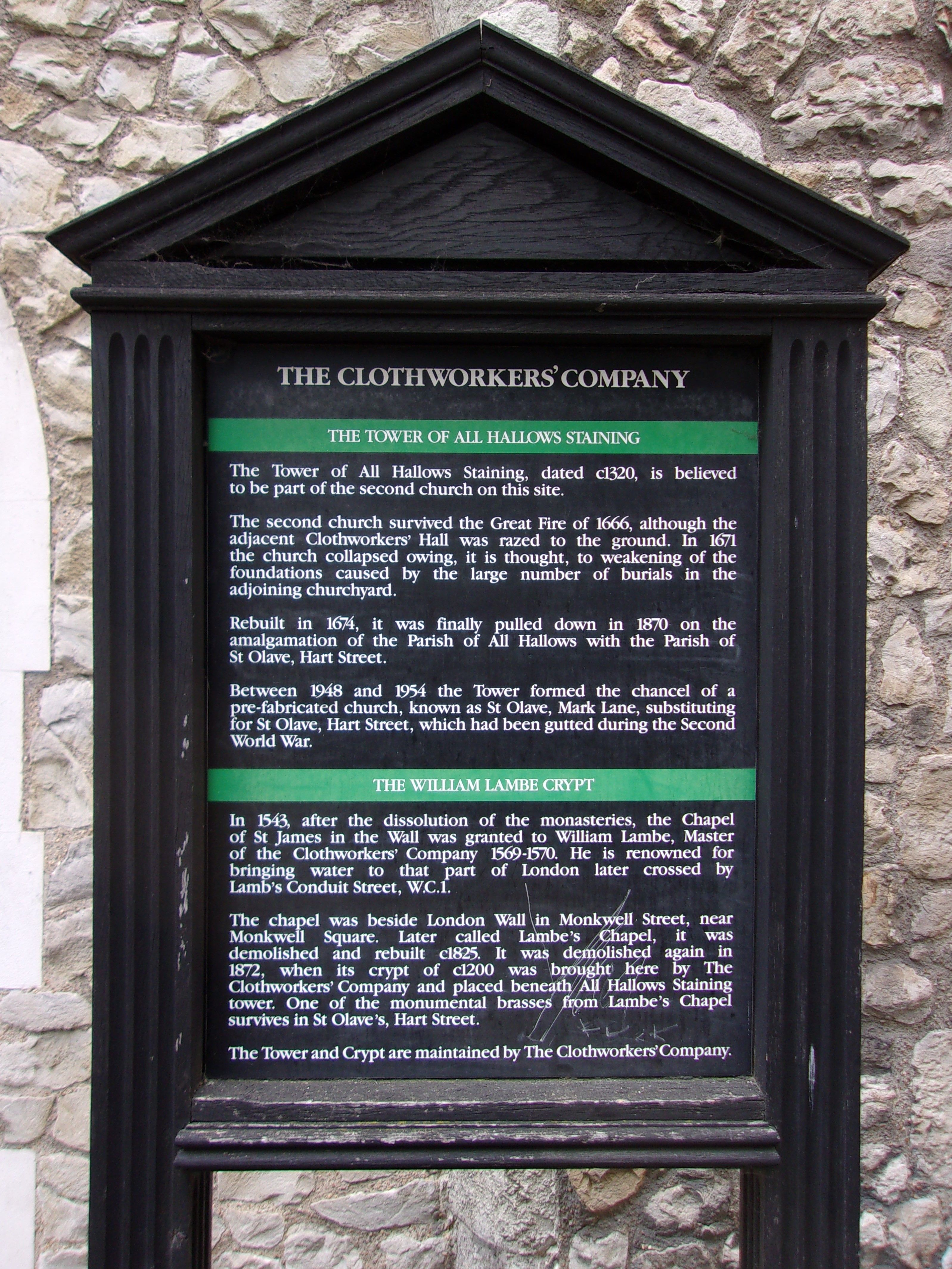
| Description | : | All Hallows Staining All Hallows Staining was an Church of England church located at the junction of Fenchurch Avenue and Billiter Street in the north- eastern corner of Langbourn ward in the City of London, close to Fenchurch Street railway station[1] All that remains of the church is the tower, built around 1320 AD as part of the second church on the site. The first mention of the church was in the late 12th century. It was named "Staining", which means stone, to distinguish it from the other churches of All Hallows in the City of London, which were wooden. The old church... Read More |
frequently asked questions (FAQ):
-
Where is All Hallows Staining Tower?
All Hallows Staining Tower is located at London, City of London ,Greater London ,England.
-
All Hallows Staining Tower cemetery's updated grave count on graveviews.com?
9 memorials
-
Where are the coordinates of the All Hallows Staining Tower?
Latitude: 51.5115776
Longitude: -0.0804890
Nearby Cemetories:
1. St Olave Hart Street Churchyard
London, City of London, England
Coordinate: 51.5108930, -0.0795990
2. Church of the Crutched Friars
London, City of London, England
Coordinate: 51.5108000, -0.0785000
3. St. James Duke's Place Churchyard
Aldgate, City of London, England
Coordinate: 51.5128970, -0.0790280
4. St Katherine Cree Churchyard
London, City of London, England
Coordinate: 51.5134315, -0.0791360
5. St. Dunstan-in-the-East Churchyard
London, City of London, England
Coordinate: 51.5096540, -0.0824830
6. All Hallows by the Tower Churchyard
London, City of London, England
Coordinate: 51.5093600, -0.0794020
7. St. Mary-at-Hill Churchyard
Billingsgate, City of London, England
Coordinate: 51.5101050, -0.0836680
8. St. Benet's Churchyard
Bridge, City of London, England
Coordinate: 51.5115240, -0.0846030
9. Tower Hill Memorial
London Borough of Tower Hamlets, England
Coordinate: 51.5096016, -0.0777000
10. Priory of Holy Trinity
Aldgate, City of London, England
Coordinate: 51.5138190, -0.0780890
11. St. George's Botolph Lane
Billingsgate, City of London, England
Coordinate: 51.5101840, -0.0847730
12. All Hallows Lombard Street
London, City of London, England
Coordinate: 51.5123000, -0.0854000
13. St Botolph Billingsgate Churchyard (Defunct)
London, City of London, England
Coordinate: 51.5096860, -0.0847310
14. St. Leonard's Churchyard
Bridge, City of London, England
Coordinate: 51.5105870, -0.0855570
15. St Helen’s Bishopsgate
Bishopsgate, City of London, England
Coordinate: 51.5148000, -0.0818000
16. St Michael Cornhill Churchyard
London, City of London, England
Coordinate: 51.5131910, -0.0854760
17. St Botolph without Aldgate Churchyard
Aldgate, City of London, England
Coordinate: 51.5140120, -0.0763420
18. Abbey of the Minoresses of St. Clare without Aldgate Churchyard
Aldgate, City of London, England
Coordinate: 51.5125370, -0.0749860
19. St Martin Outwich
Bishopsgate, City of London, England
Coordinate: 51.5143060, -0.0841640
20. Holy Trinity Minories Churchyard
Aldgate, City of London, England
Coordinate: 51.5115140, -0.0745780
21. Great Fire of London Monument
London, City of London, England
Coordinate: 51.5101100, -0.0859990
22. Chapel of Saint Peter-ad-Vincula
London Borough of Tower Hamlets, England
Coordinate: 51.5085335, -0.0769200
23. St Mary Magdalene (Defunct)
London, City of London, England
Coordinate: 51.5100480, -0.0862540
24. St Clement's Eastcheap
London, City of London, England
Coordinate: 51.5114010, -0.0867810

