
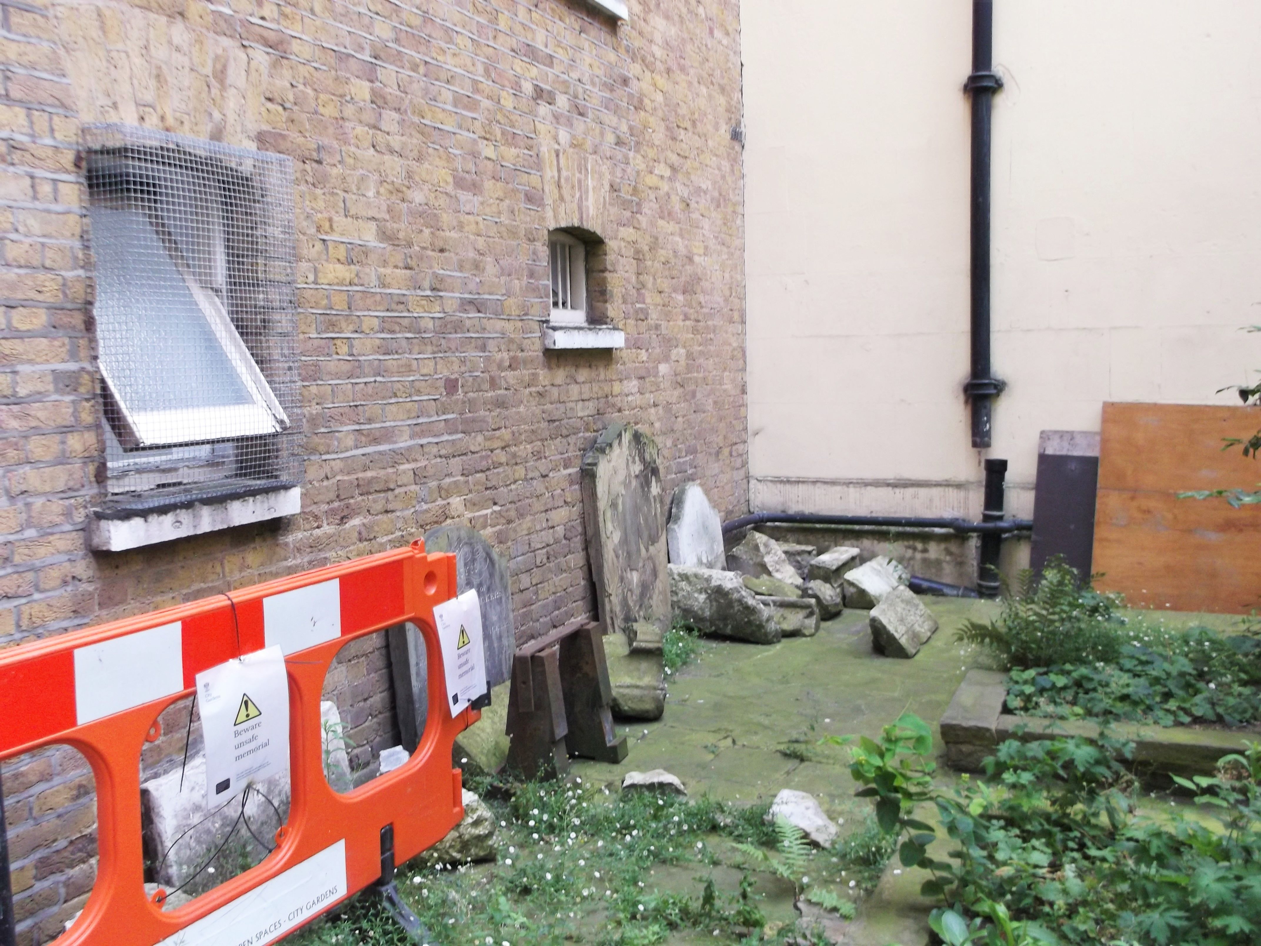
| Memorials | : | 52 |
| Location | : | Billingsgate, City of London, England |
| Coordinate | : | 51.5101050, -0.0836680 |
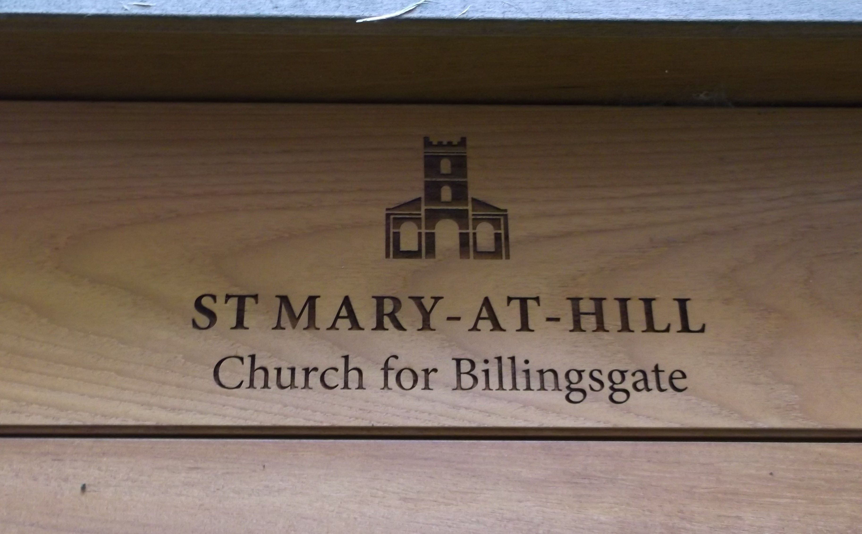
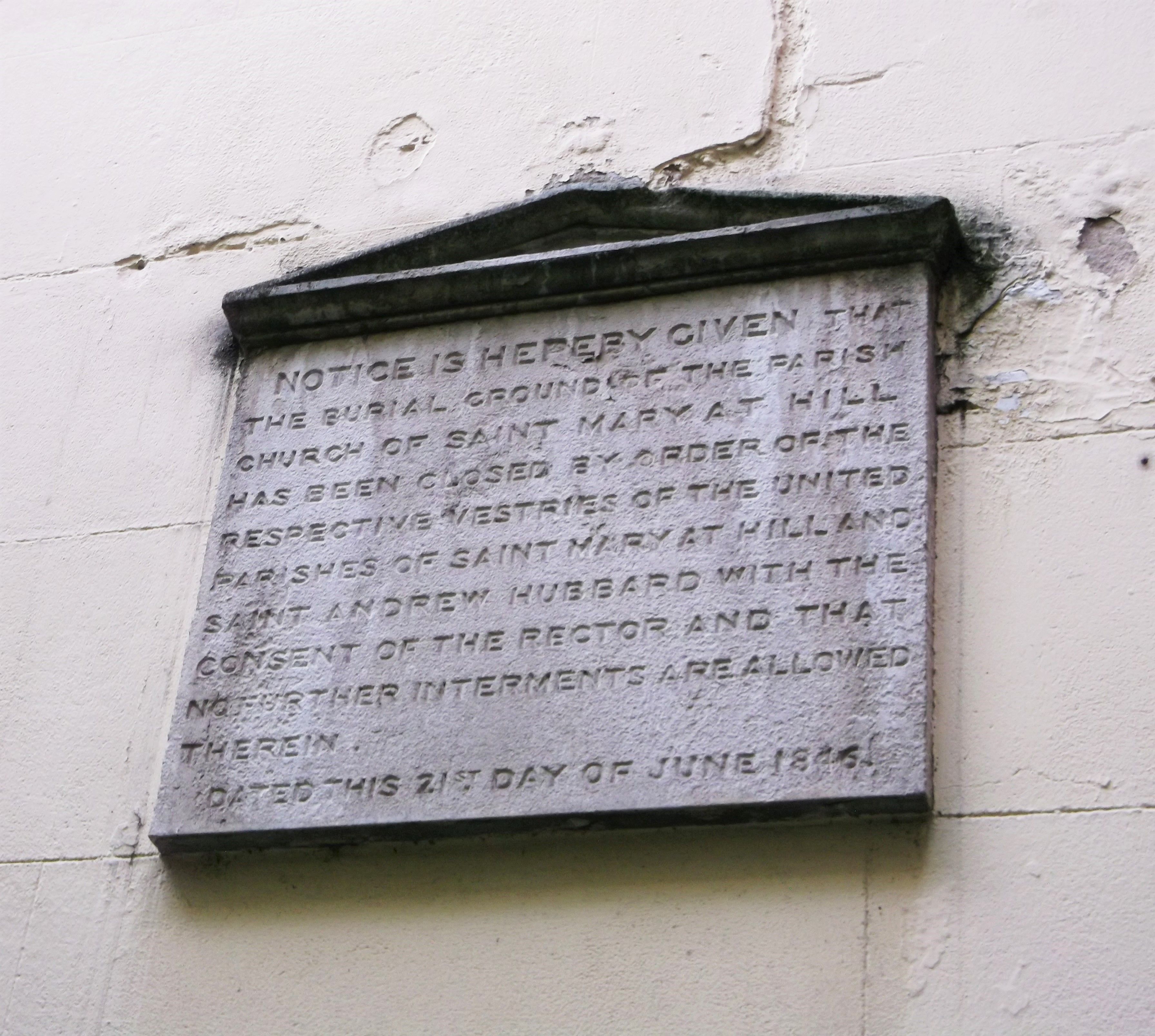
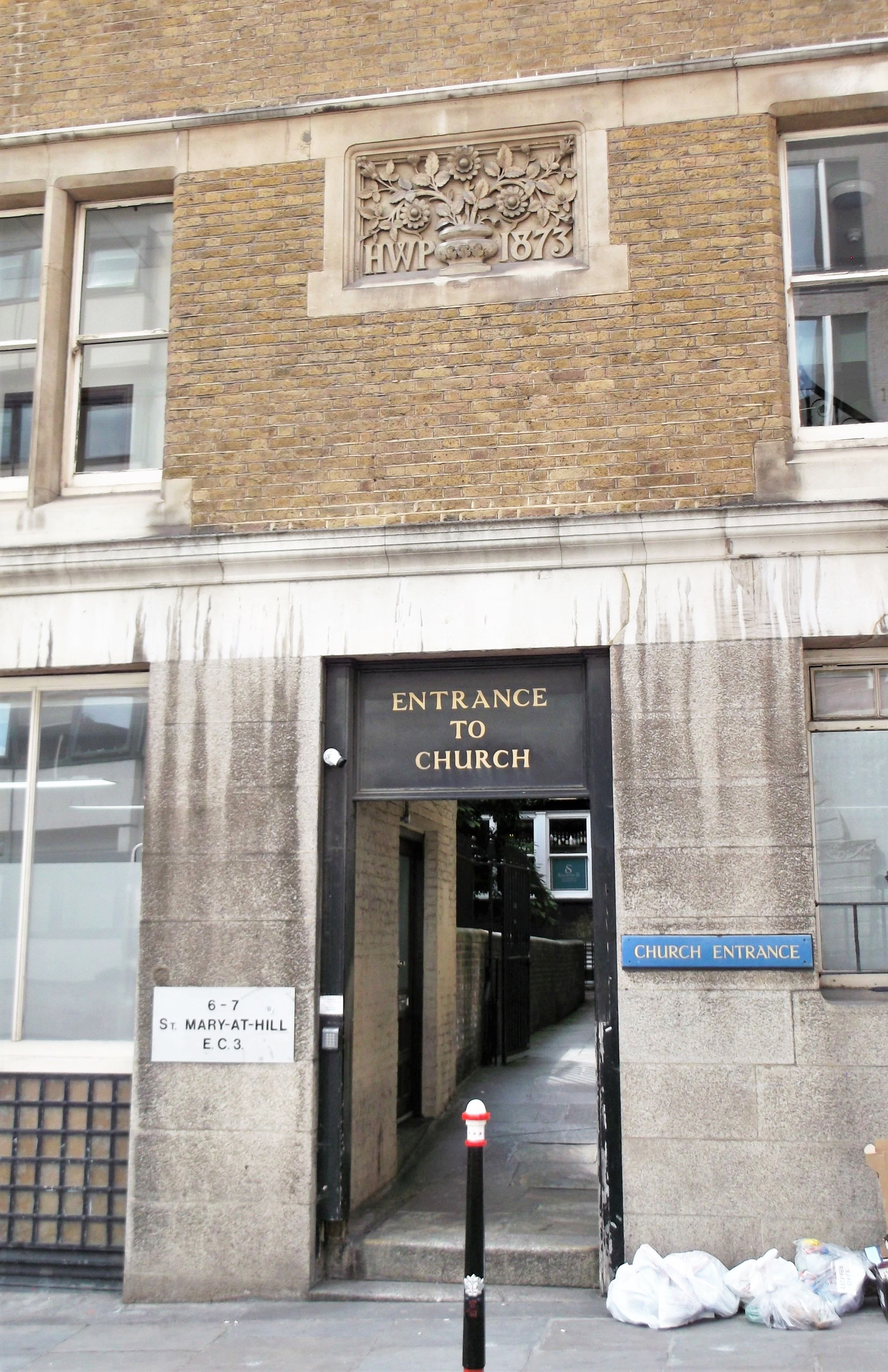
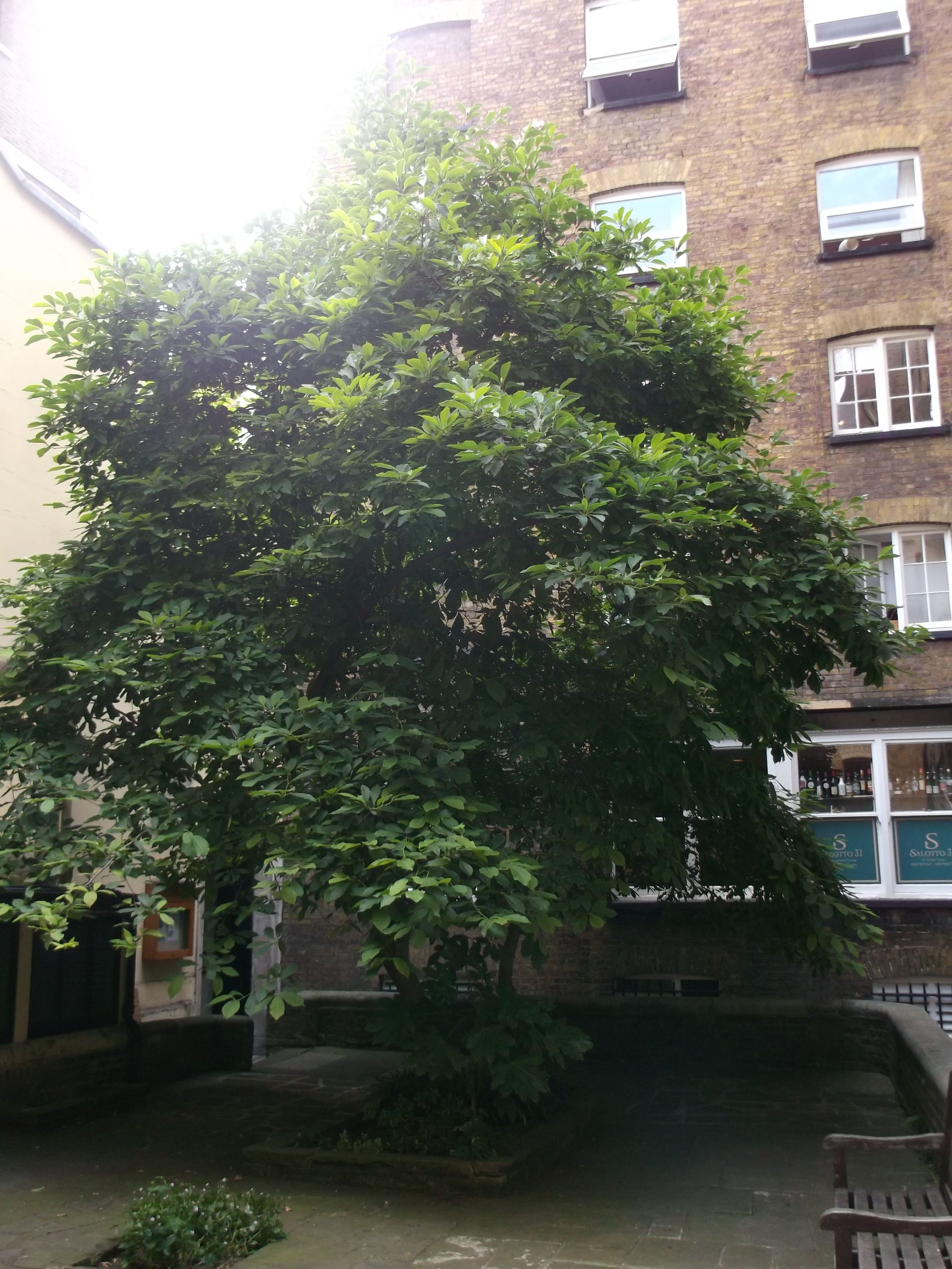
| Description | : | St Mary-at-Hill is an Anglican parish church in the Ward of Billingsgate, City of London and is situated on Lovat Lane, a cobbled street off Eastcheap. Founded in the 12th century as ‘St Mary de Hull' or ‘St Mary de la Hulle.' It was severely damaged by the Great Fire of London in 1666. Sir Christopher Wren rebuilt the church's interior and east end, retaining the church's medieval walls on three sides and the west tower. Further renovation took place in the 18th and 19th centuries. A fire in 1988 severely damaged the building, requiring the roof and ceiling to be... Read More |
frequently asked questions (FAQ):
-
Where is St. Mary-at-Hill Churchyard?
St. Mary-at-Hill Churchyard is located at Lovat Lane Billingsgate, City of London ,Greater London , EC3R 8EEEngland.
-
St. Mary-at-Hill Churchyard cemetery's updated grave count on graveviews.com?
52 memorials
-
Where are the coordinates of the St. Mary-at-Hill Churchyard?
Latitude: 51.5101050
Longitude: -0.0836680
Nearby Cemetories:
1. St. George's Botolph Lane
Billingsgate, City of London, England
Coordinate: 51.5101840, -0.0847730
2. St Botolph Billingsgate Churchyard (Defunct)
London, City of London, England
Coordinate: 51.5096860, -0.0847310
3. St. Dunstan-in-the-East Churchyard
London, City of London, England
Coordinate: 51.5096540, -0.0824830
4. St. Leonard's Churchyard
Bridge, City of London, England
Coordinate: 51.5105870, -0.0855570
5. Great Fire of London Monument
London, City of London, England
Coordinate: 51.5101100, -0.0859990
6. St. Benet's Churchyard
Bridge, City of London, England
Coordinate: 51.5115240, -0.0846030
7. St Mary Magdalene (Defunct)
London, City of London, England
Coordinate: 51.5100480, -0.0862540
8. St. Magnus the Martyr Churchyard
London, City of London, England
Coordinate: 51.5092500, -0.0862880
9. St Michael Bassishaw Crooked Lane
London, City of London, England
Coordinate: 51.5107000, -0.0872800
10. St Clement's Eastcheap
London, City of London, England
Coordinate: 51.5114010, -0.0867810
11. All Hallows Lombard Street
London, City of London, England
Coordinate: 51.5123000, -0.0854000
12. All Hallows Staining Tower
London, City of London, England
Coordinate: 51.5115776, -0.0804890
13. St Martin Orgar Church
London, City of London, England
Coordinate: 51.5107520, -0.0875220
14. St Olave Hart Street Churchyard
London, City of London, England
Coordinate: 51.5108930, -0.0795990
15. All Hallows by the Tower Churchyard
London, City of London, England
Coordinate: 51.5093600, -0.0794020
16. St Laurence Pountney Churchyard
London, City of London, England
Coordinate: 51.5106100, -0.0885930
17. St Michael Cornhill Churchyard
London, City of London, England
Coordinate: 51.5131910, -0.0854760
18. Church of the Crutched Friars
London, City of London, England
Coordinate: 51.5108000, -0.0785000
19. All Hallows the Less
London, City of London, England
Coordinate: 51.5099000, -0.0893000
20. Tower Hill Memorial
London Borough of Tower Hamlets, England
Coordinate: 51.5096016, -0.0777000
21. St Mary Woolnoth Churchyard
London, City of London, England
Coordinate: 51.5127650, -0.0881070
22. Saint Swithin London Stone Churchyard
London, City of London, England
Coordinate: 51.5115800, -0.0894340
23. All Hallows the Great
London, City of London, England
Coordinate: 51.5099720, -0.0900440
24. St. James Duke's Place Churchyard
Aldgate, City of London, England
Coordinate: 51.5128970, -0.0790280