
| Memorials | : | 0 |
| Location | : | Maidenhead, Windsor and Maidenhead Royal Borough, England |
| Coordinate | : | 51.5262600, -0.7421200 |
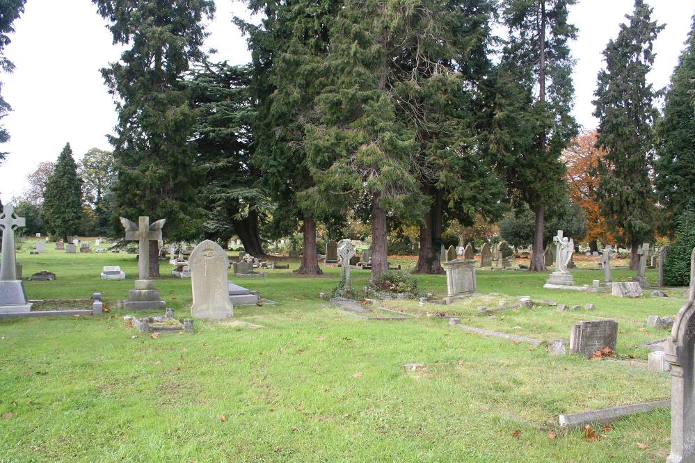
| Description | : | The headquarters for the Air Transport Auxiliary was at nearby White Waltham Airfield. There is a special Commonwealth War Graves Commission plot at Maidenhead Cemetery for the majority of the A.T.A. burials at the far end of the cemetery, left of the main path, and the other burials are scattered throughout the cemetery, some of which are marked by private memorials other than the Commission design. There are 14 Commonwealth war casualties from World War I and 47 from World War II 1939-1945 commemorated at this site. All Saints Cemetery was opened in 1888 and covers an area of approximately 5... Read More |
frequently asked questions (FAQ):
-
Where is All Saints Cemetery?
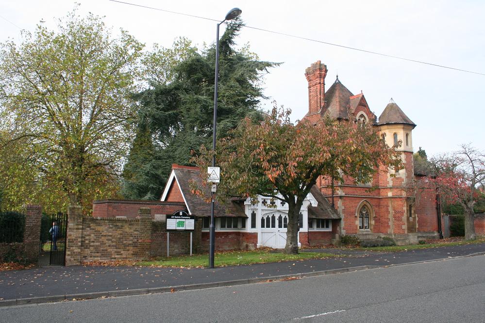
All Saints Cemetery is located at All Saints Avenue Maidenhead, Windsor and Maidenhead Royal Borough ,Berkshire , SL6 6LUEngland.
-
All Saints Cemetery cemetery's updated grave count on graveviews.com?
0 memorials
-
Where are the coordinates of the All Saints Cemetery?
Latitude: 51.5262600
Longitude: -0.7421200
Nearby Cemetories:
1. All Saints Churchyard
Maidenhead, Windsor and Maidenhead Royal Borough, England
Coordinate: 51.5199210, -0.7367710
2. St Luke Cemetery
Maidenhead, Windsor and Maidenhead Royal Borough, England
Coordinate: 51.5265500, -0.7233700
3. St James the Less Churchyard
Stubbings, Windsor and Maidenhead Royal Borough, England
Coordinate: 51.5274840, -0.7759100
4. Cookham Parish Cemetery
Cookham, Windsor and Maidenhead Royal Borough, England
Coordinate: 51.5485170, -0.7270770
5. Braywick Cemetery
Maidenhead, Windsor and Maidenhead Royal Borough, England
Coordinate: 51.5086460, -0.7141110
6. The Old Churchyard
Taplow, South Bucks District, England
Coordinate: 51.5312190, -0.6950540
7. St Michael Churchyard
Bray, Windsor and Maidenhead Royal Borough, England
Coordinate: 51.5090920, -0.7020450
8. St John the Baptist Churchyard
Cookham Dean, Windsor and Maidenhead Royal Borough, England
Coordinate: 51.5581960, -0.7447210
9. St. Nicolas' Churchyard
Taplow, South Bucks District, England
Coordinate: 51.5313140, -0.6867530
10. Bisham Priory
Bisham, Windsor and Maidenhead Royal Borough, England
Coordinate: 51.5566350, -0.7796570
11. Bray Parish Cemetery
Bray, Windsor and Maidenhead Royal Borough, England
Coordinate: 51.4975520, -0.6989780
12. St. Mary's Churchyard
White Waltham, Windsor and Maidenhead Royal Borough, England
Coordinate: 51.4900100, -0.7700900
13. Holy Trinity Churchyard
Cookham, Windsor and Maidenhead Royal Borough, England
Coordinate: 51.5613910, -0.7074150
14. All Saints Churchyard
Bisham, Windsor and Maidenhead Royal Borough, England
Coordinate: 51.5611410, -0.7780430
15. St. Mary's Churchyard
Hitcham, South Bucks District, England
Coordinate: 51.5346430, -0.6750330
16. Cliveden Chapel
Taplow, South Bucks District, England
Coordinate: 51.5571020, -0.6899240
17. Cliveden War Memorial Cemetery
Taplow, South Bucks District, England
Coordinate: 51.5578380, -0.6900160
18. All Saints Churchyard
Marlow, Wycombe District, England
Coordinate: 51.5679730, -0.7732080
19. Touchen End Cemetery
Bray, Windsor and Maidenhead Royal Borough, England
Coordinate: 51.4795080, -0.7401860
20. Cliveden House Pet Cemetery
Taplow, South Bucks District, England
Coordinate: 51.5590770, -0.6880610
21. St. Peter's Churchyard
Knowl Hill, Windsor and Maidenhead Royal Borough, England
Coordinate: 51.5093351, -0.8126725
22. St. Peter Roman Catholic Churchyard
Marlow, Wycombe District, England
Coordinate: 51.5695438, -0.7723466
23. Nashdom Abbey Cemetery
Burnham, South Bucks District, England
Coordinate: 51.5490600, -0.6739000
24. St Mary the Virgin Churchyard
Hurley, Windsor and Maidenhead Royal Borough, England
Coordinate: 51.5492640, -0.8103620