
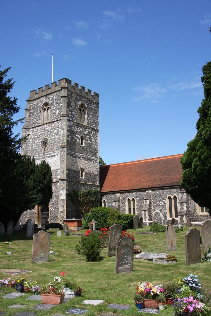
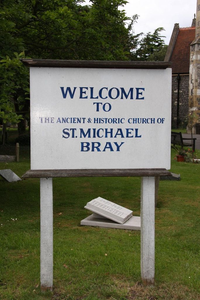
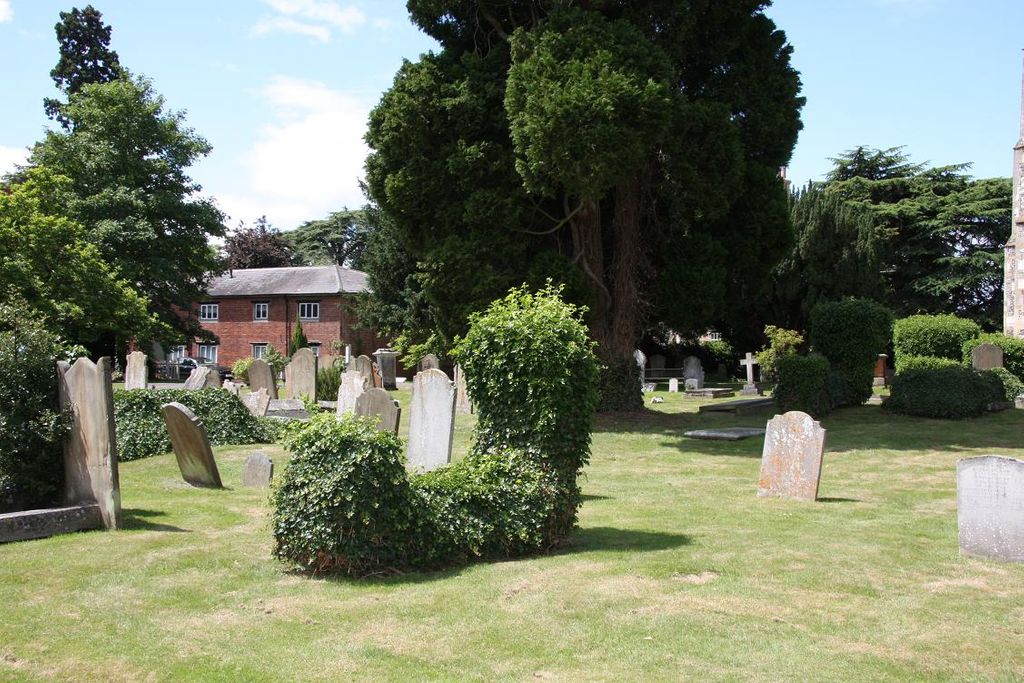
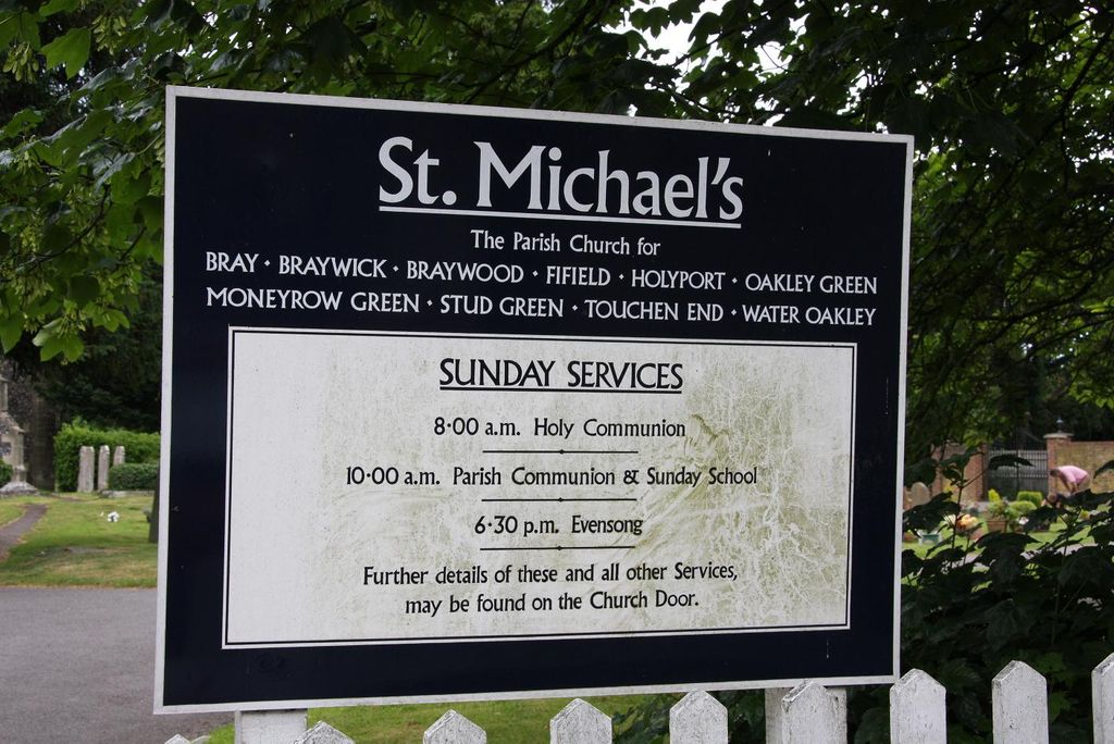
| Memorials | : | 0 |
| Location | : | Bray, Windsor and Maidenhead Royal Borough, England |
| Coordinate | : | 51.5090920, -0.7020450 |
frequently asked questions (FAQ):
-
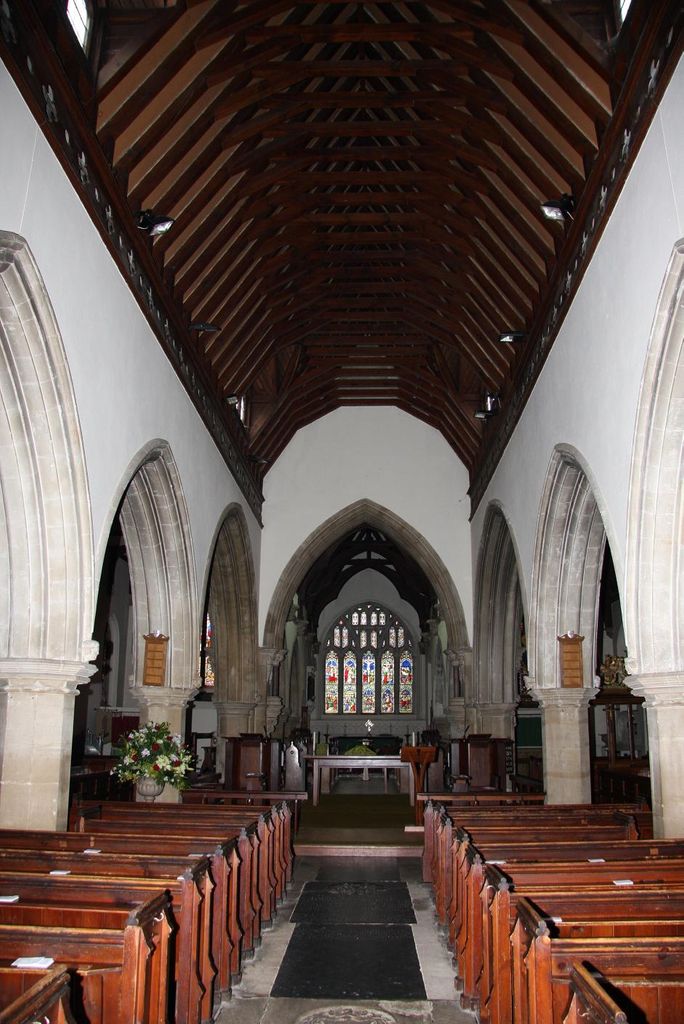
Where is St Michael Churchyard?
St Michael Churchyard is located at Bray, Windsor and Maidenhead Royal Borough ,Berkshire ,England.
-
St Michael Churchyard cemetery's updated grave count on graveviews.com?
0 memorials
-
Where are the coordinates of the St Michael Churchyard?
Latitude: 51.5090920
Longitude: -0.7020450
Nearby Cemetories:
1. Braywick Cemetery
Maidenhead, Windsor and Maidenhead Royal Borough, England
Coordinate: 51.5086460, -0.7141110
2. Bray Parish Cemetery
Bray, Windsor and Maidenhead Royal Borough, England
Coordinate: 51.4975520, -0.6989780
3. St James the Less Churchyard
Dorney, South Bucks District, England
Coordinate: 51.5030670, -0.6689740
4. St Luke Cemetery
Maidenhead, Windsor and Maidenhead Royal Borough, England
Coordinate: 51.5265500, -0.7233700
5. The Old Churchyard
Taplow, South Bucks District, England
Coordinate: 51.5312190, -0.6950540
6. All Saints Churchyard
Maidenhead, Windsor and Maidenhead Royal Borough, England
Coordinate: 51.5199210, -0.7367710
7. St. Nicolas' Churchyard
Taplow, South Bucks District, England
Coordinate: 51.5313140, -0.6867530
8. Burnham Abbey Church of St. Mary
Burnham, South Bucks District, England
Coordinate: 51.5155000, -0.6607100
9. All Saints Cemetery
Maidenhead, Windsor and Maidenhead Royal Borough, England
Coordinate: 51.5262600, -0.7421200
10. St. Mary's Churchyard
Hitcham, South Bucks District, England
Coordinate: 51.5346430, -0.6750330
11. Oakley Green Cemetery
Windsor, Windsor and Maidenhead Royal Borough, England
Coordinate: 51.4859830, -0.6668160
12. St Peter Churchyard
Burnham, South Bucks District, England
Coordinate: 51.5328060, -0.6598430
13. Zion Chapel Burial Ground
Burnham, South Bucks District, England
Coordinate: 51.5358700, -0.6594930
14. Touchen End Cemetery
Bray, Windsor and Maidenhead Royal Borough, England
Coordinate: 51.4795080, -0.7401860
15. St Mary Magdalene Churchyard Boveney
South Bucks District, England
Coordinate: 51.4902860, -0.6474170
16. Cookham Parish Cemetery
Cookham, Windsor and Maidenhead Royal Borough, England
Coordinate: 51.5485170, -0.7270770
17. Nashdom Abbey Cemetery
Burnham, South Bucks District, England
Coordinate: 51.5490600, -0.6739000
18. St. Mary's Churchyard
White Waltham, Windsor and Maidenhead Royal Borough, England
Coordinate: 51.4900100, -0.7700900
19. St John the Baptist Churchyard
Eton, Windsor and Maidenhead Royal Borough, England
Coordinate: 51.4958960, -0.6303240
20. Cliveden Chapel
Taplow, South Bucks District, England
Coordinate: 51.5571020, -0.6899240
21. Cliveden War Memorial Cemetery
Taplow, South Bucks District, England
Coordinate: 51.5578380, -0.6900160
22. St James the Less Churchyard
Stubbings, Windsor and Maidenhead Royal Borough, England
Coordinate: 51.5274840, -0.7759100
23. Cliveden House Pet Cemetery
Taplow, South Bucks District, England
Coordinate: 51.5590770, -0.6880610
24. Holy Trinity Churchyard
Cookham, Windsor and Maidenhead Royal Borough, England
Coordinate: 51.5613910, -0.7074150