
| Memorials | : | 269 |
| Location | : | Biddenden, Ashford Borough, England |
| Coordinate | : | 51.1150740, 0.6403990 |
| Description | : | Biddenden is a typical English village, set in the picturesque countryside of Kent in the Southeast of England.It is a civil parish in the Ashford District lying on the Weald of Kent, some five miles north of Tenterden. It was the centre for the Wealden iron industry and also of clothmaking. During the reign of Edward III some Flemish clothworkers settled in the area. and latticed windowed weavers cottages stretch the full length of the south side of the High Street, which is flanked on both sides by fossilized stone quarried long ago from nearby Bethersden. The ready availability of... Read More |
frequently asked questions (FAQ):
-
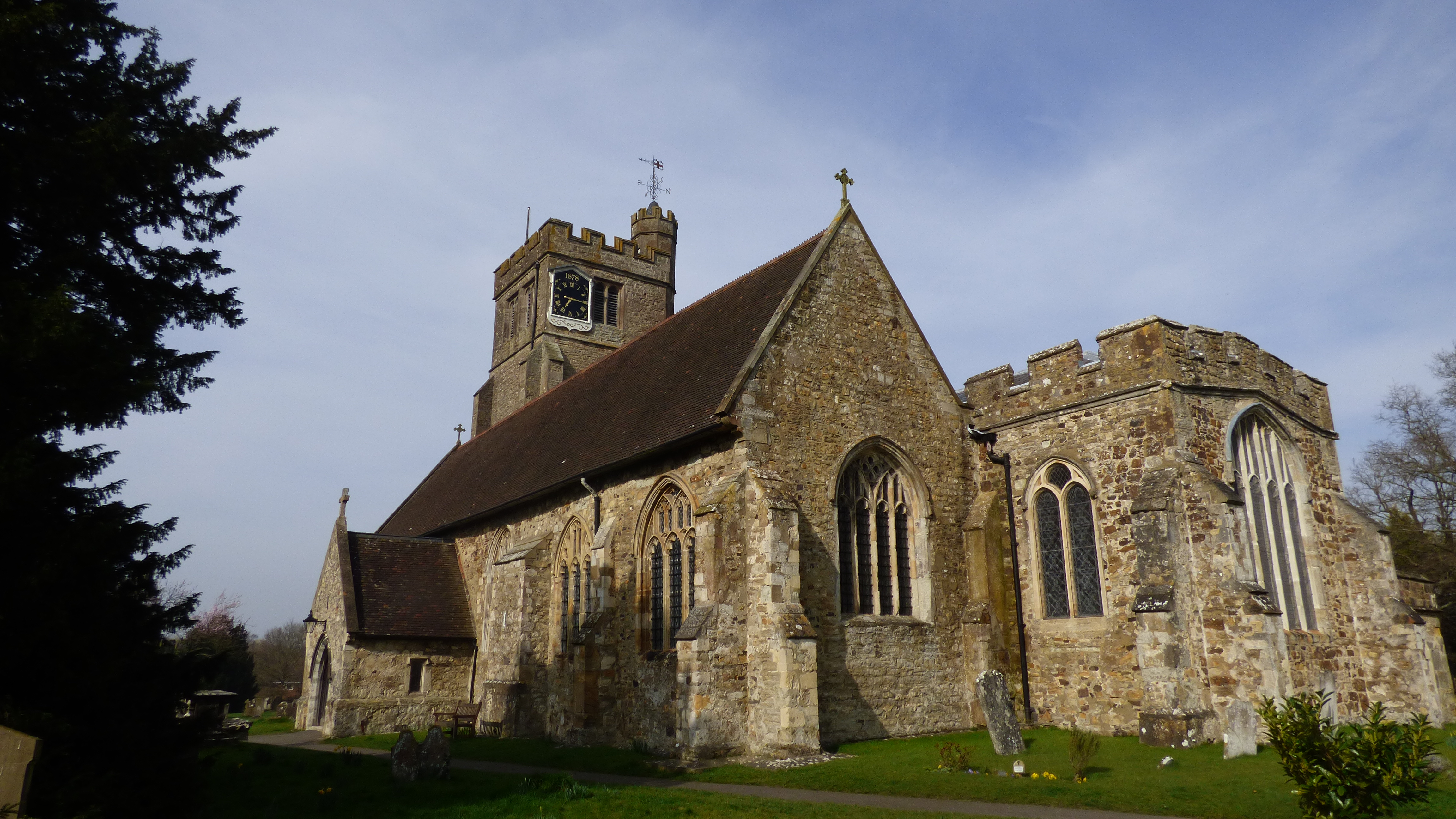
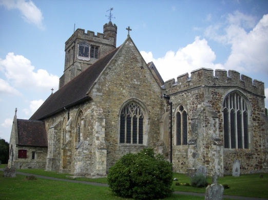
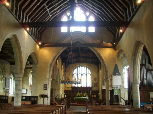
Where is All Saints Churchyard?
All Saints Churchyard is located at Biddenden, Ashford Borough ,Kent ,England.
-
All Saints Churchyard cemetery's updated grave count on graveviews.com?
269 memorials
-
Where are the coordinates of the All Saints Churchyard?
Latitude: 51.1150740
Longitude: 0.6403990


Nearby Cemetories:
1. Ebeneezer Chapel
Biddenden, Ashford Borough, England
Coordinate: 51.1383320, 0.6416030
2. St. Mary's Churchyard
Frittenden, Tunbridge Wells Borough, England
Coordinate: 51.1391190, 0.5904720
3. St. Michael and All Angels Churchyard
Tenterden, Ashford Borough, England
Coordinate: 51.0867424, 0.6894140
4. Frittenden Burial Gound
Frittenden, Tunbridge Wells Borough, England
Coordinate: 51.1428480, 0.5870820
5. St. Michael the Archangel Churchyard
Smarden, Ashford Borough, England
Coordinate: 51.1490030, 0.6861940
6. St. Mary the Virgin Churchyard
High Halden, Ashford Borough, England
Coordinate: 51.1028950, 0.7148620
7. Sissinghurst Cemetery
Sissinghurst, Tunbridge Wells Borough, England
Coordinate: 51.1095310, 0.5629240
8. Tenterden Cemetery
Tenterden, Ashford Borough, England
Coordinate: 51.0676820, 0.6737140
9. Headcorn Baptist Churchyard
Headcorn, Maidstone Borough, England
Coordinate: 51.1674156, 0.6247670
10. Headcorn Parish Burial Ground
Headcorn, Maidstone Borough, England
Coordinate: 51.1671257, 0.6204750
11. Unitarian Old Meeting House
Tenterden, Ashford Borough, England
Coordinate: 51.0717468, 0.6906880
12. Headcorn Methodist Churchyard
Headcorn, Maidstone Borough, England
Coordinate: 51.1674940, 0.6205670
13. Headcorn War Memorial
Headcorn, Maidstone Borough, England
Coordinate: 51.1677480, 0.6212560
14. St. Peter and St. Paul Churchyard
Headcorn, Maidstone Borough, England
Coordinate: 51.1678543, 0.6203760
15. Station Road Extension
Tenterden, Ashford Borough, England
Coordinate: 51.0686640, 0.6852830
16. St. Mildred's Churchyard
Tenterden, Ashford Borough, England
Coordinate: 51.0686264, 0.6870960
17. Cranbrook Cemetery
Cranbrook, Tunbridge Wells Borough, England
Coordinate: 51.0962250, 0.5541360
18. St. George Parish Churchyard
Benenden, Tunbridge Wells Borough, England
Coordinate: 51.0648720, 0.5794570
19. St. Mary the Virgin Churchyard
Rolvenden, Ashford Borough, England
Coordinate: 51.0506590, 0.6310280
20. St David's Bridge Strict Baptist Chapel
Cranbrook, Tunbridge Wells Borough, England
Coordinate: 51.0953430, 0.5378980
21. St Dunstan's Churchyard
Cranbrook, Tunbridge Wells Borough, England
Coordinate: 51.0973030, 0.5363690
22. All Saints Church
Staplehurst, Maidstone Borough, England
Coordinate: 51.1582160, 0.5527170
23. St. Margaret's Churchyard
Bethersden, Ashford Borough, England
Coordinate: 51.1291440, 0.7538760
24. Marian Martyrs Memorial
Staplehurst, Maidstone Borough, England
Coordinate: 51.1649780, 0.5523900