
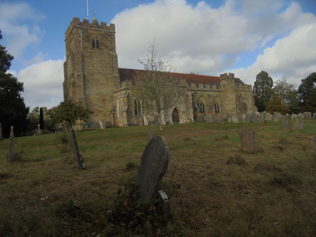
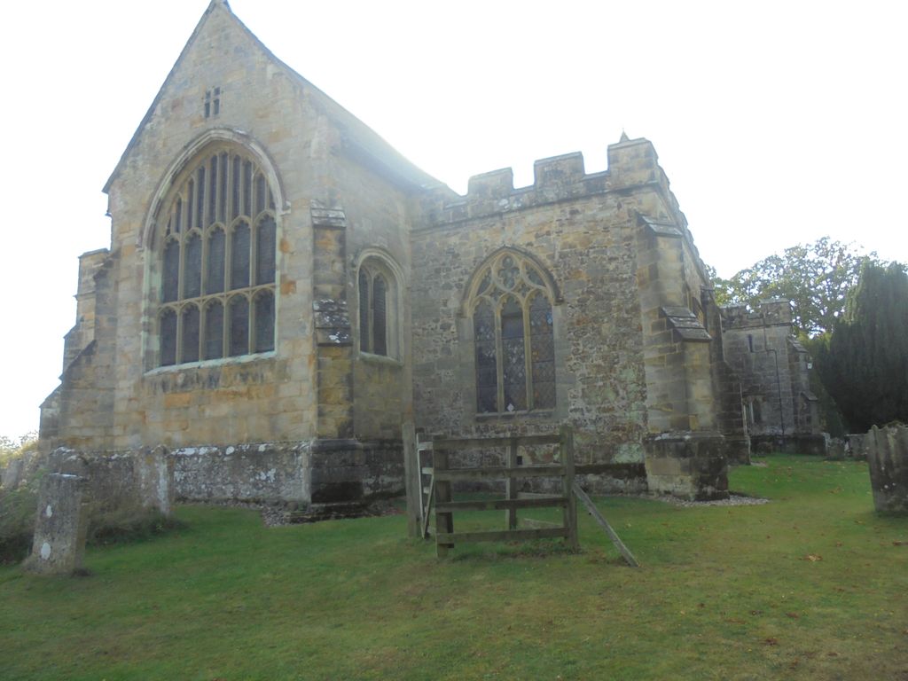
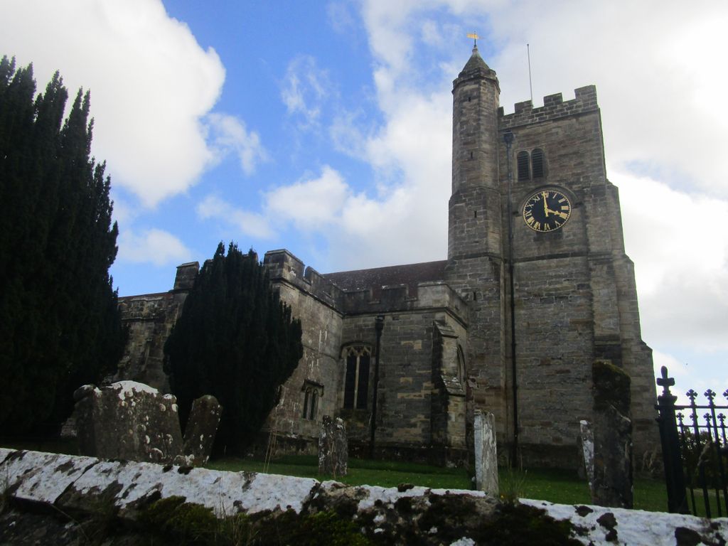
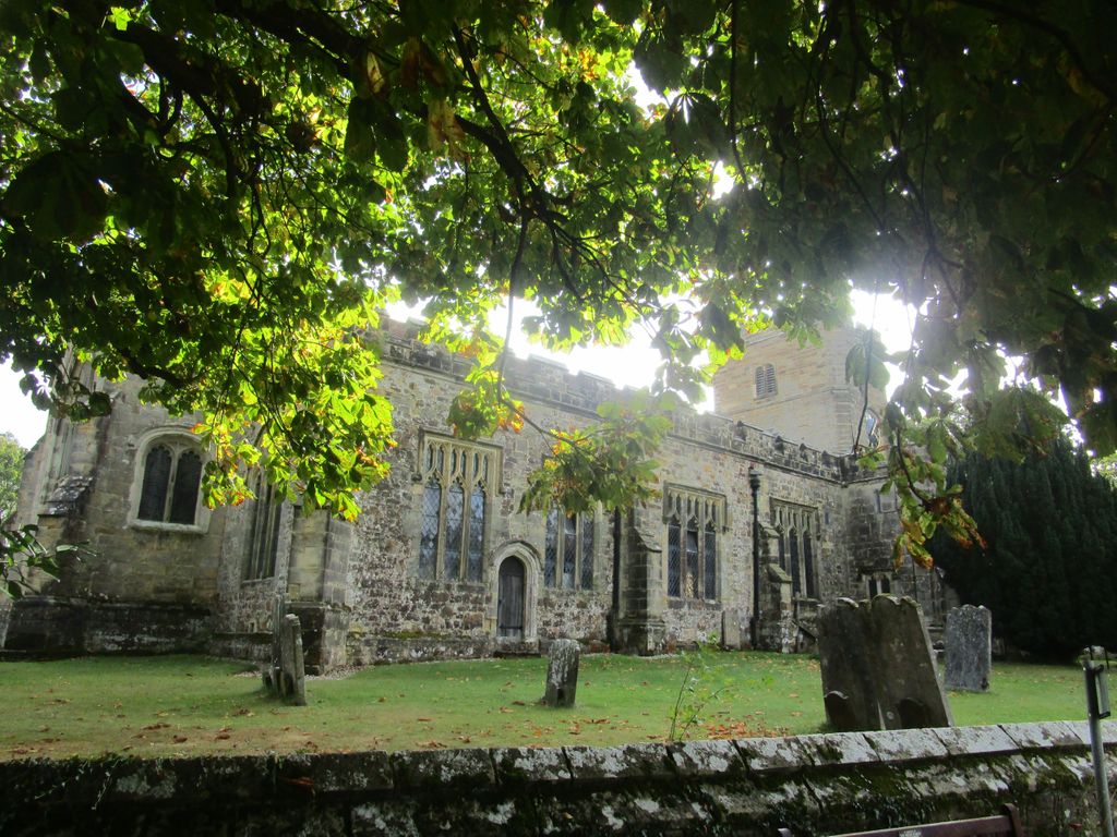
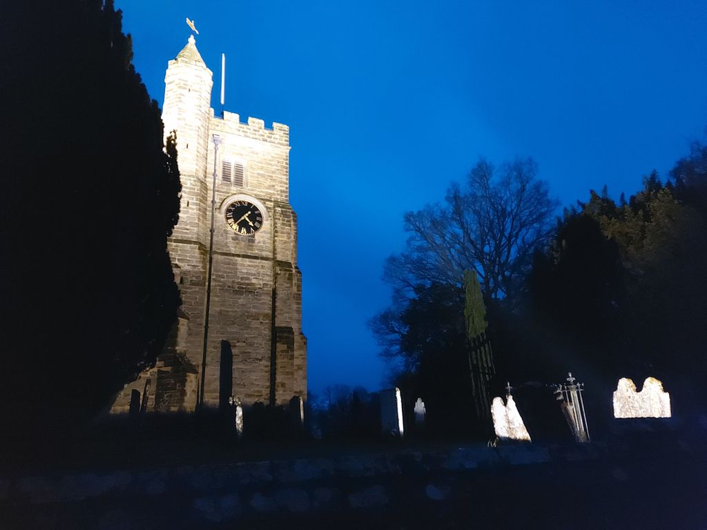
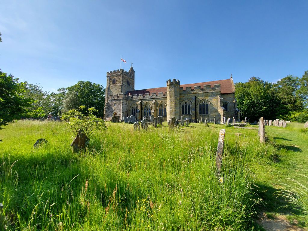
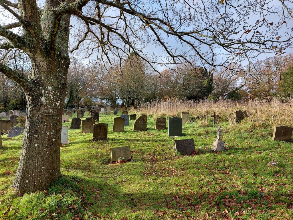
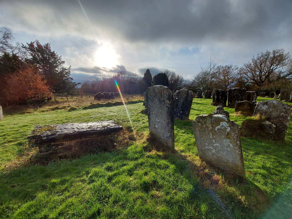
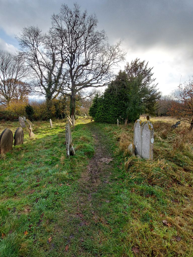
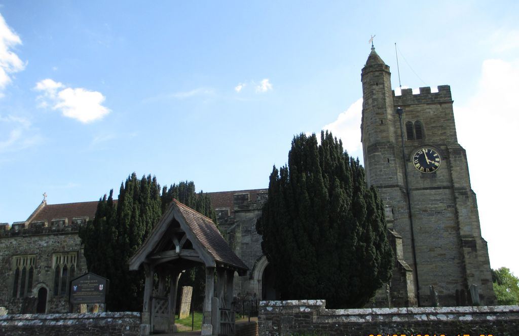
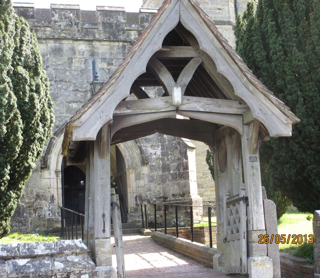
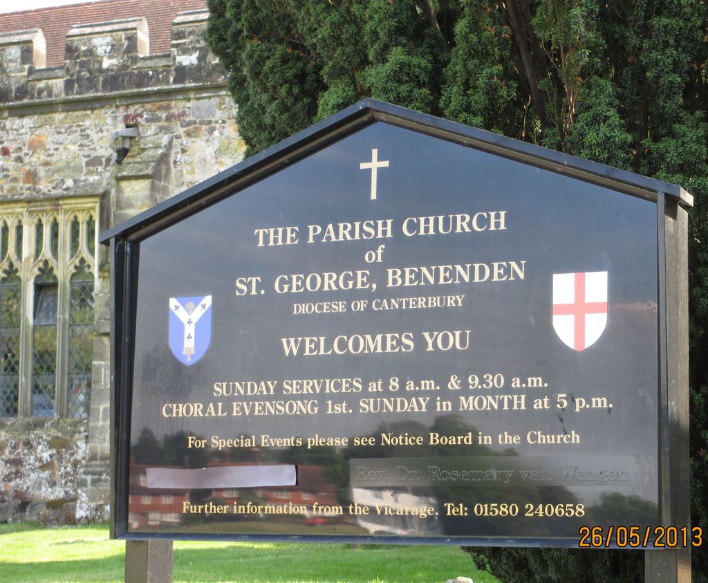
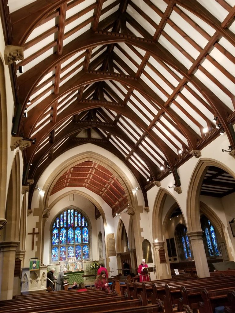
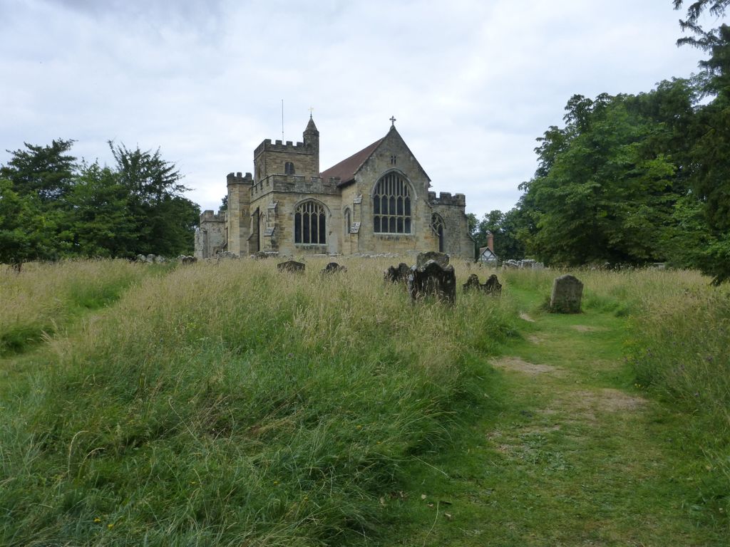
| Memorials | : | 1297 |
| Location | : | Benenden, Tunbridge Wells Borough, England |
| Coordinate | : | 51.0648720, 0.5794570 |
frequently asked questions (FAQ):
-
Where is St. George Parish Churchyard?
St. George Parish Churchyard is located at Benenden, Tunbridge Wells Borough ,Kent ,England.
-
St. George Parish Churchyard cemetery's updated grave count on graveviews.com?
1297 memorials
-
Where are the coordinates of the St. George Parish Churchyard?
Latitude: 51.0648720
Longitude: 0.5794570

Nearby Cemetories:
1. Cranbrook Cemetery
Cranbrook, Tunbridge Wells Borough, England
Coordinate: 51.0962250, 0.5541360
2. St. Mary the Virgin Churchyard
Rolvenden, Ashford Borough, England
Coordinate: 51.0506590, 0.6310280
3. St David's Bridge Strict Baptist Chapel
Cranbrook, Tunbridge Wells Borough, England
Coordinate: 51.0953430, 0.5378980
4. St Dunstan's Churchyard
Cranbrook, Tunbridge Wells Borough, England
Coordinate: 51.0973030, 0.5363690
5. Sissinghurst Cemetery
Sissinghurst, Tunbridge Wells Borough, England
Coordinate: 51.1095310, 0.5629240
6. St Peter's Church
Newenden, Ashford Borough, England
Coordinate: 51.0157750, 0.6137190
7. St. Laurence Churchyard
Hawkhurst, Tunbridge Wells Borough, England
Coordinate: 51.0377240, 0.5031610
8. Hawkhurst Cemetery
Hawkhurst, Tunbridge Wells Borough, England
Coordinate: 51.0302300, 0.5051300
9. Tenterden Cemetery
Tenterden, Ashford Borough, England
Coordinate: 51.0676820, 0.6737140
10. Saint Giles' Churchyard
Bodiam, Rother District, England
Coordinate: 51.0074800, 0.5393000
11. All Saints Churchyard
Biddenden, Ashford Borough, England
Coordinate: 51.1150740, 0.6403990
12. Station Road Extension
Tenterden, Ashford Borough, England
Coordinate: 51.0686640, 0.6852830
13. St. Mildred's Churchyard
Tenterden, Ashford Borough, England
Coordinate: 51.0686264, 0.6870960
14. Unitarian Old Meeting House
Tenterden, Ashford Borough, England
Coordinate: 51.0717468, 0.6906880
15. St. Michael and All Angels Churchyard
Tenterden, Ashford Borough, England
Coordinate: 51.0867424, 0.6894140
16. Northiam Cemetery
Northiam, Rother District, England
Coordinate: 50.9926872, 0.5984631
17. Ewhurst Green Churchyard
Ewhurst, Rother District, England
Coordinate: 50.9924300, 0.5572900
18. St. Mary's Churchyard
Frittenden, Tunbridge Wells Borough, England
Coordinate: 51.1391190, 0.5904720
19. St Mary's Churchyard
Northiam, Rother District, England
Coordinate: 50.9911250, 0.6061390
20. Saint Augustine's Churchyard
Flimwell, Rother District, England
Coordinate: 51.0514170, 0.4580350
21. Frittenden Burial Gound
Frittenden, Tunbridge Wells Borough, England
Coordinate: 51.1428480, 0.5870820
22. St John the Baptist
Small Hythe, Ashford Borough, England
Coordinate: 51.0396260, 0.6996060
23. Holy Trinity Churchyard
Hurst Green, Rother District, England
Coordinate: 51.0201400, 0.4691080
24. Ebeneezer Chapel
Biddenden, Ashford Borough, England
Coordinate: 51.1383320, 0.6416030